Jamestown in James City County, Virginia — The American South (Mid-Atlantic)
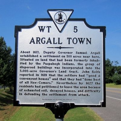
Argall Town
Erected 2012 by Department of Historic Resources. (Marker Number WT-5.)
Topics and series. This historical marker is listed in these topic lists: Colonial Era • Native Americans • Settlements & Settlers. In addition, it is included in the Virginia Department of Historic Resources (DHR) series list. A significant historical year for this entry is 1617.
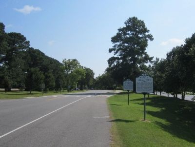
Location. 37° 13.62′ N, 76° 47.028′ W. Marker is in Jamestown, Virginia, in James City County. Marker is on Jamestown Road (Virginia Route 31) south of Greensprings Road (Virginia Route 614), on the left when traveling south. Touch for map. Marker is in this post office area: Williamsburg VA 23185, United States of America. Touch for directions.
Other nearby markers. At least 8 other markers are within walking distance of this marker. French Troops At Jamestown (a few steps from this marker); Blockhouses Near Jamestown (a few steps from this marker); Lafayette's Visit (a few steps from this marker); Georgia (about 400 feet away, measured in a direct line); Connecticut (about 400 feet away); Maryland (about 400 feet away); South Carolina (about 400 feet away); Massachusetts (about 400 feet away). Touch for a list and map of all markers in Jamestown.
Credits. This page was last revised on June 16, 2016. It was originally submitted on July 21, 2013, by Bernard Fisher of Richmond, Virginia. This page has been viewed 505 times since then and 34 times this year. Photos: 1, 2. submitted on July 21, 2013, by Bernard Fisher of Richmond, Virginia.

