Near Sharpsburg in Washington County, Maryland — The American Northeast (Mid-Atlantic)
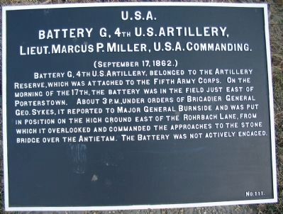
Battery G, 4th U.S. Artillery
Battery G, 4th U.S. Artillery
Lieut. Marcus P. Miller, U.S.A. Commanding
(September 17, 1862.)
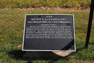
Battery G, 4th U.S. Artillery, belonged to the Artillery Reserve, which was attached to the Fifth Army Corps. On the morning of the 17th, the battery was in the field just east of Porterstown. About 3 p.m., under orders of Brigadier General Geo. Sykes, it reported to Major General Burnside and was put in position on the high ground east of the Rohrbach Lane, from which it overlooked and commanded the approaches to the stone bridge over the Antietam. The Battery was not actively engaged.
Erected by Antietam Battlefield Board. (Marker Number 111.)
Topics and series. This historical marker is listed in this topic list: War, US Civil. In addition, it is included in the Antietam Campaign War Department Markers series list. A significant historical year for this entry is 1862.
Location. 39° 26.864′ N, 77° 44.478′ W. Marker is near Sharpsburg, Maryland, in Washington County. Marker is on Branch Avenue, on the left when traveling south. Touch for map. Marker is in this post office area: Sharpsburg MD 21782, United States of America. Touch for directions.
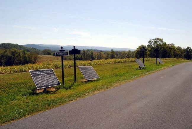
Other nearby markers. At least 8 other markers are within walking distance of this marker. Battery A, 5th U.S. Artillery (here, next to this marker); Battery E, 2nd U.S. Artillery (here, next to this marker); Battery E, 4th U.S. Artillery (a few steps from this marker); Ninth Army Corps (a few steps from this marker); Brigadier General L. O'B. Branch (a few steps from this marker); Rodman's Division, Ninth Army Corps (within shouting distance of this marker); Jackson's Command (within shouting distance of this marker); Archer's Brigade (about 400 feet away, measured in a direct line). Touch for a list and map of all markers in Sharpsburg.
Also see . . .
1. Antietam Battlefield. National Park Service website entry (Submitted on March 30, 2008, by Craig Swain of Leesburg, Virginia.)
2. Battery G, 4th U.S. Artillery. Antietam on the Web entry:
The battery was armed with six 12-pounder Napoleon guns. The effective range of those guns was around 1600 yards, meaning, when in place on the late afternoon of the battle, the battery could barely range the Confederate positions near the tablet location. (Submitted on March 30, 2008, by Craig Swain of Leesburg, Virginia.)
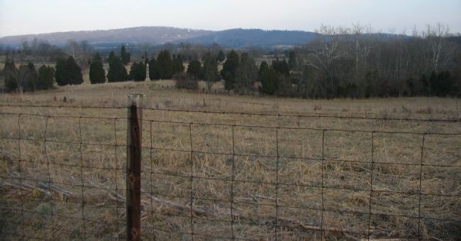
Photographed By Craig Swain, February 9, 2008
5. Battery Location
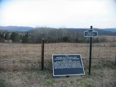
Looking east from the tablet, with the 16th Connecticut Infantry Monument in the line of sight. Following out from that point is the location of Burnside Bridge, covered by the ridge line with trees. Through the trees is a set of barren low ridges, appearing as green bands. The battery was located on an elevation there to overlook the Burnside Bridge. In effect, Battery G was acting as the last line of defense, should the Confederate counterattack break the Federal lines.
Credits. This page was last revised on June 18, 2022. It was originally submitted on March 30, 2008, by Craig Swain of Leesburg, Virginia. This page has been viewed 844 times since then and 9 times this year. Photos: 1. submitted on March 30, 2008, by Craig Swain of Leesburg, Virginia. 2. submitted on October 12, 2015, by Brian Scott of Anderson, South Carolina. 3. submitted on March 30, 2008, by Craig Swain of Leesburg, Virginia. 4. submitted on October 12, 2015, by Brian Scott of Anderson, South Carolina. 5. submitted on March 30, 2008, by Craig Swain of Leesburg, Virginia.
