Croom in Prince George's County, Maryland — The American Northeast (Mid-Atlantic)
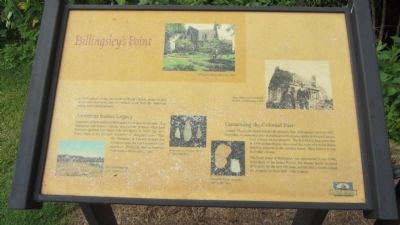
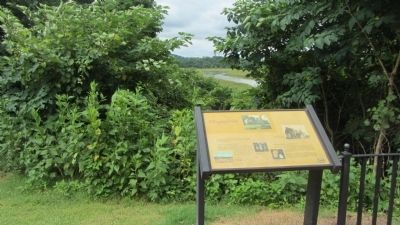
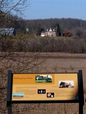
Billingsley's Point
American Indian Legacy
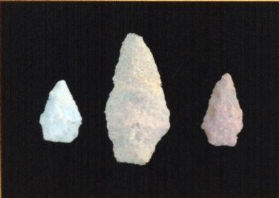
American Indians inhabited Billingsley for at least 8,000 years. The Mattapany and Patuxon Indians occupied the property when Lord Baltimore granted it to Major John Billingsley in 1662. The 1674 Proceedings of the General Assembly of Maryland state: "That the Mattapnay & Patuxon Indians doe Continue upon the Land on which they now live...Billingsle, having formerly Purchased it of the said Indians..."
Unearthing the Colonial Past
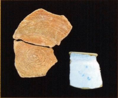
Colonel Thomas Hollyday bought the property from Billingsley's heirs in 1687. Hollyday, an influential man in political and business circles at Mount Calvert, built a house on the property. The building is long gone, but in 1999 archaeologists uncovered the ruins of a wood frame building adjacent to the existing house. They believe it was Hollyday's house.
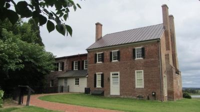
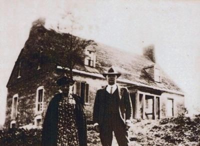
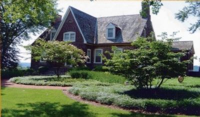
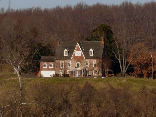
The brick house at Billingsley was constructed in the 1740s, most likely by Dr. James Weems. The Weems family occupied Billingsley for the next 100 years, and the Meloy family owned the property for most of the 20th Century.
Topics. This historical marker is listed in these topic lists: Colonial Era • Native Americans • Settlements & Settlers. A significant historical year for this entry is 1662.
Location. 38° 47.122′ N, 76° 42.879′ W. Marker is in Croom, Maryland, in Prince George's County. Marker can be reached from Mount Calvert Road, 0.4 miles east of McClure Road. Marker is in the Mount Calvert Historical and Archaeological Park, at the back of the plantation house. Touch for map. Marker is in this post office area: Upper Marlboro MD 20772, United States of America. Touch for directions.
Other nearby markers. At least 8 other markers are within walking distance of this marker. Mount Calvert Federal Period Plantation House (within shouting distance of this marker); Mount Calvert Manor (about 300 feet away, measured in a direct line); Mount Calvert Historical and Archaeological Park (about 300 feet away); African-Americans at Mount Calvert (about 300 feet away); Explosive Scene (about 300 feet away); The War of 1812 and the Chesapeake Flotilla (about 300 feet away); Chesapeake Beach Railway (about 400 feet away); Mount Calvert, Early Town (about 600 feet away). Touch for a list and map of all markers in Croom.
Credits. This page was last revised on June 16, 2016. It was originally submitted on September 1, 2013, by F. Robby of Baltimore, Maryland. This page has been viewed 958 times since then and 60 times this year. Photos: 1, 2, 3. submitted on September 1, 2013, by F. Robby of Baltimore, Maryland. 4, 5, 6, 7, 8, 9. submitted on December 27, 2014, by Allen C. Browne of Silver Spring, Maryland.
