Franklin in Williamson County, Tennessee — The American South (East South Central)
Willow Plunge
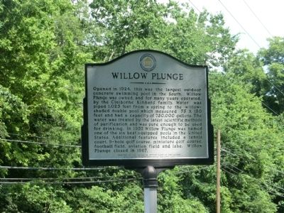
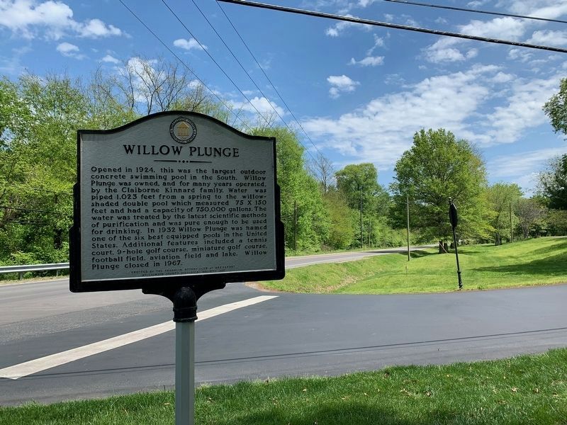
Opened in 1924, this was the largest outdoor concrete swimming pool in the South. Willow Plunge was owned, and for many years operated, by the Claiborne Kinnard family. Water was piped 1,023 feet from a spring to the willow-shaded double pool which measured 75 x 150 feet and had a capacity of 750,000 gallons. The water was treated by the latest scientific methods of purification and was pure enough to be used for drinking. In 1932 Willow Plunge was named one of the six best equipped pools in the United States. Additional features included a tennis court, 9-hole golf course, miniature golf course, football field, aviation field and lake. Willow Plunge closed in 1967.
Erected 2001 by Franklin Rotary Club at Breakfast and the Williamson County Historical Society.
Topics and series. This historical marker is listed in these topic lists: Entertainment • Man-Made Features. In addition, it is included in the Rotary International, and the Tennessee – Williamson County Historical Society series lists. A significant historical year for this entry is 1924.
Location. 35° 54.783′ N, 86° 51.8′ W. Marker is in Franklin, Tennessee, in Williamson County. Marker is at the intersection of Carnton Lane and Lewisburg Pike (U.S. 431) on Carnton Lane. Touch for map. Marker is in this post office area: Franklin TN 37064, United States of America. Touch for directions.
Other nearby markers. At least 8 other markers are within walking distance of this marker. Attack on the Union Left (approx. 0.2 miles away); Attack On The Union Left / Lot No. 1 in the Plan of Carnton (approx. 0.2 miles away); Battle of Franklin, Eastern Flank (approx. ¼ mile away); Advancing With Scott's Brigade (approx. ¼ mile away); a different marker also named Battle of Franklin, Eastern Flank (approx. 0.3 miles away); Eastern Flank Battlefield Park (approx. 0.3 miles away); a different marker also named Advancing With Scott's Brigade (approx. 0.4 miles away); Mills - Jewell House (approx. 0.4 miles away). Touch for a list and map of all markers in Franklin.
Also see . . .
1. Willow Plunge Made Summer Fun, Memorable | Editorial | Williamson County Herald (Alexander, 2006). Local resident remembers Willow Plunge. (Submitted on April 28, 2020.)
2. Willow Plunge: The Place Where Williamson Co Used to Spend Its Summers | Williamson Source (Harmuth). 2017 article featuring historical photographs of Willow Plunge. (Submitted on April 28, 2020.)
Credits. This page was last revised on April 29, 2020. It was originally submitted on October 5, 2013, by Don Morfe of Baltimore, Maryland. This page has been viewed 938 times since then and 29 times this year. Photos: 1. submitted on October 5, 2013, by Don Morfe of Baltimore, Maryland. 2. submitted on April 28, 2020. • Al Wolf was the editor who published this page.

