Near Manassas in Prince William County, Virginia — The American South (Mid-Atlantic)
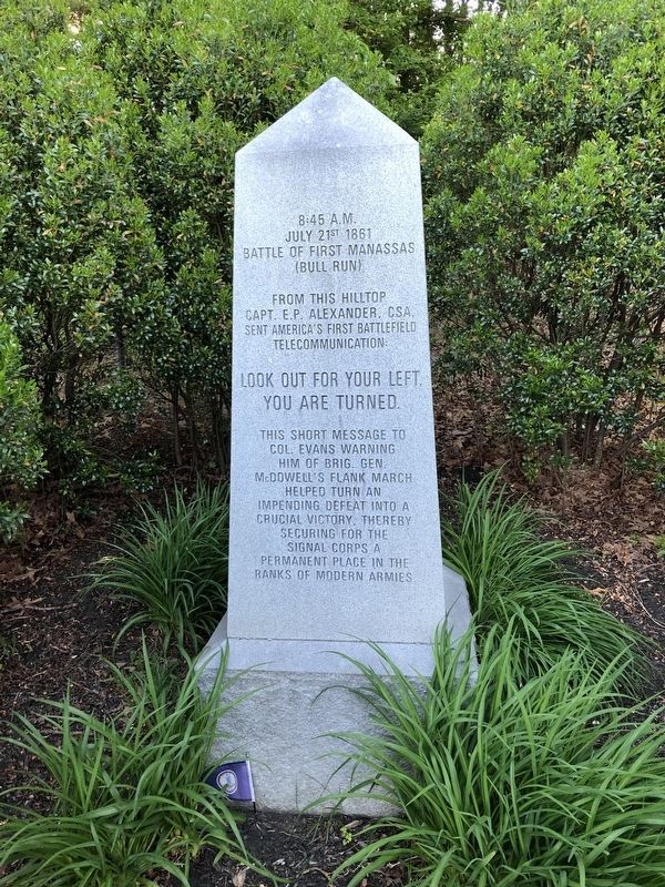
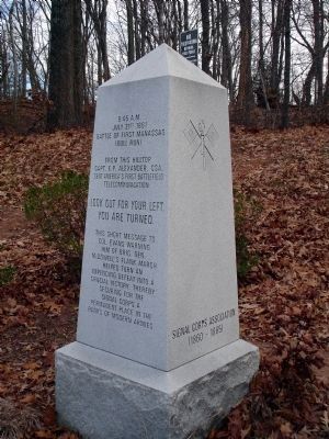
Signal Hill Monument
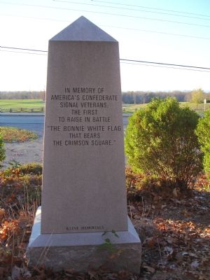
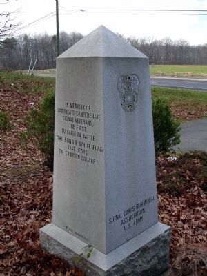
In memory of America’s Confederate signal veterans; the first to raise in battle “the bonnie white flag that bears the crimson square.”
Erected by Signal Corps Association (1860-1865).
Topics. This monument and memorial is listed in these topic lists: Communications • War, US Civil. A significant historical month for this entry is July 1861.
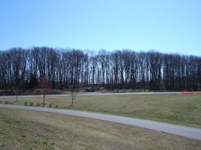
Location. 38° 45.188′ N, 77° 26.298′ W. Marker is near Manassas, Virginia, in Prince William County. Memorial is on Signal View Drive. Monument is located on the east side of Signal Hill Drive across the street from Signal Hill Park. There is a small parking area at the monument. Touch for map. Marker is at or near this postal address: 7970 Blooms Rd, Manassas VA 20111, United States of America. Touch for directions.
Other nearby markers. At least 8 other markers are within walking distance of this marker. Signal Hill (here, next to this marker); Building Mayfield Fort (approx. ¾ mile away); Battle of Bull Run Bridge (approx. ¾ mile away); a different marker also named Battle of Bull Run Bridge (approx. ¾ mile away); Casualties of Battle (approx. 0.8 miles away); Role of Mayfield in Battle of First Manassas (approx. 0.8 miles away); Preservation of Mayfield Fort (approx. 0.8 miles away); Building the Fort System (approx. 0.8 miles away). Touch for a list and map of all markers in Manassas.
Also see . . . Signal Corps Association. (Submitted on September 19, 2007.)
Credits. This page was last revised on November 1, 2023. It was originally submitted on November 17, 2006. This page has been viewed 3,332 times since then and 41 times this year. Last updated on October 31, 2023. Photos: 1. submitted on May 15, 2021. 2. submitted on November 17, 2006. 3, 4. submitted on March 8, 2010. 5. submitted on November 17, 2006. • Bernard Fisher was the editor who published this page.
