Monroe in Monroe County, Michigan — The American Midwest (Great Lakes)
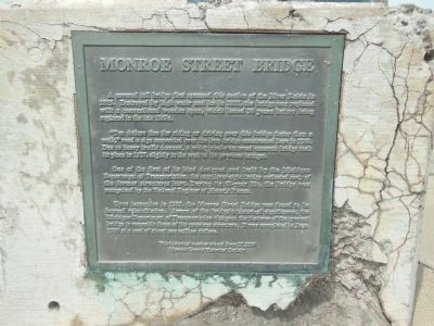
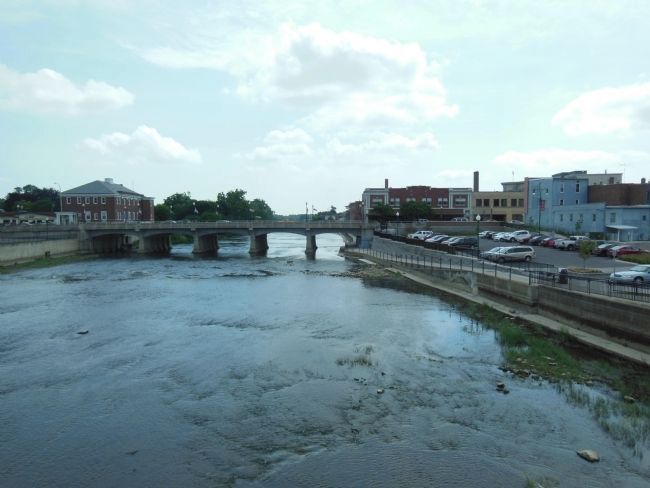
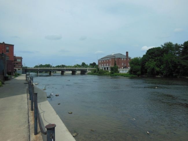
Monroe Street Bridge
A covered toll bridge first spanned this section of the River Raisin in 1819. Destroyed by high water and ice in 1832, the bridge was replaced with a conventional wooden span, which lasted 30 years before being replaced in the late 1860’s.
“Ten dollars fine for riding or driving over this bridge faster than a walk,” read a sign suspended over the iron bridge constructed here in 1900. Due to heavy traffic demand, a wide steel-reinforced concrete bridge took its place in 1927, slightly to the west of the previous bridge.
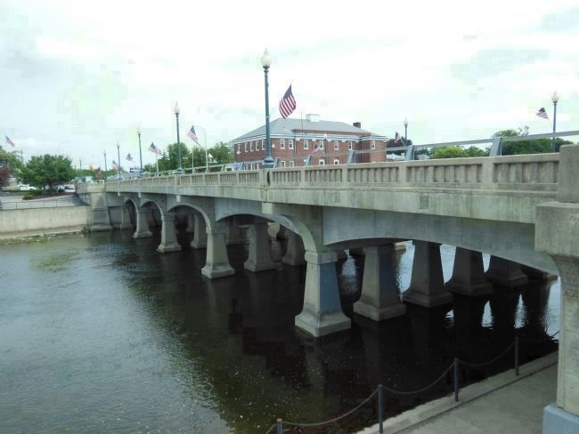
One of the first of its kind designed and built by the Michigan Department of Transportation, the cantilever-style bridge outlasted each of the former structures here. During its 60-year life the bridge was recognized by the National Register of Historic Places.
Upon inspection in 1989, the Monroe Street Bridge was found to be beyond rehabilitation. Aware of the bridge’s historical significance, the Michigan Department of Transportation designed the features of the present bridge to resemble those of the previous structure. It was completed in June 1990 at a cost of about one million dollars.
Erected 1990 by Monroe County Historical Society.
Topics. This historical marker is listed in these topic lists: Bridges & Viaducts • Roads & Vehicles. A significant historical month for this entry is June 1990.
Location. 41° 55.057′ N, 83° 23.805′ W. Marker is in Monroe, Michigan, in Monroe County. Marker is on North Monroe Street, 0.1 miles south of East Elm Avenue, on the left when traveling south. The metal marker is embedded into the inside of upper deck bridge rail at the northeast corner of the bridge. Touch for map. Marker is in this post office area: Monroe MI 48162, United States of America. Touch for directions.
Other nearby markers. At least 8 other markers are within walking distance of this marker. George Armstrong Custer / Sighting the Enemy (within shouting distance of this marker); General George A. Custer (within shouting distance of this marker); Major-General George Armstrong Custer (within shouting distance of this marker); St. Mary of the Immaculate Conception (about 300 feet away, measured in a direct line); First American Flag (about 300 feet away); First Flag Raised In Michigan Territory (about 300 feet away); St. Mary Catholic Church (about 300 feet away); Dr. Martin Luther King, Jr. (about 400 feet away). Touch for a list and map of all markers in Monroe.
More about this marker. The marker is easily viewed when walking across the west side of the bridge, but could be just as easily overlooked when driving across.
Also see . . .
1. The 1927 Monroe Street Bridge. Library of Congress website entry:
The Monroe Street Bridge is an early example of a reinforced concrete cantilever girder bridge, a design developed in the late 1910s as an alternative to standard concrete arch bridge designs. The bridge was a key component of a major upgrading of the US-25 (later M-125) highway linking Detroit to Toledo. The builder, the W.H. Knapp Co., built several concrete bridges in Monroe County in the 1920s. (Submitted on March 31, 2014, by Cosmos Mariner of Cape Canaveral, Florida.)
2. The River Raisin Heritage Trail. City of Monroe website entry:
The trail takes you through the River Raisin National Battlefield Park, past iconic buildings, and into historic neighborhoods. The route encourages short detours into walkable downtown Monroe with destinations that include quaint shops, fashionable restaurants and an outstanding museum and library. (Submitted on March 31, 2014, by Cosmos Mariner of Cape Canaveral, Florida.)
Photographed By Cosmos Mariner, August 22, 2013
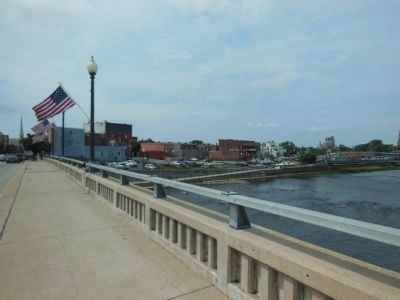
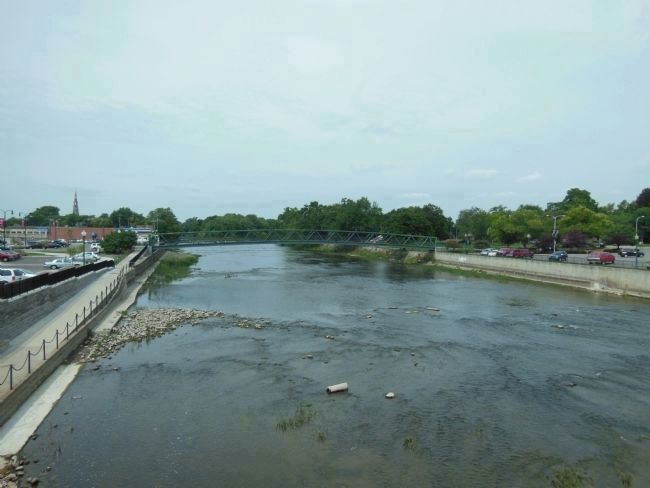
3. Monroe Street Bridge (looking west across River Raisin from south end)
The foot bridge in the background carries the River Raisin Heritage Trail across the river. The trail then continues west along the south side of the river (seen at the left edge of this image).
Photographed By Cosmos Mariner, August 22, 2013
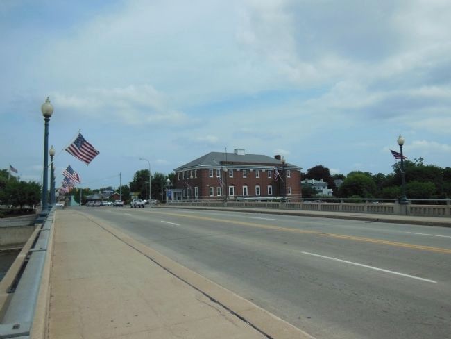
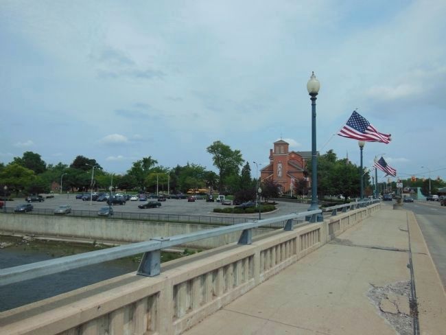
4. Monroe Street Bridge (looking northwest from south end of bridge)
Historic St. Mary's Church can be seen on North Monroe Street beyond the northwest corner of the bridge. There are several historical markers and a magnificent statue honoring General George Armstrong Custer at the northwest corner of the bridge.
Credits. This page was last revised on July 27, 2022. It was originally submitted on March 31, 2014, by Cosmos Mariner of Cape Canaveral, Florida. This page has been viewed 554 times since then and 37 times this year. Photos: 1, 2, 3, 4, 5, 6, 7, 8. submitted on March 31, 2014, by Cosmos Mariner of Cape Canaveral, Florida. • Bill Pfingsten was the editor who published this page.
