Brightwood in Northwest Washington in Washington, District of Columbia — The American Northeast (Mid-Atlantic)
The Seventh Street Turnpike
Battleground to Community
— Brightwood Heritage Trail —
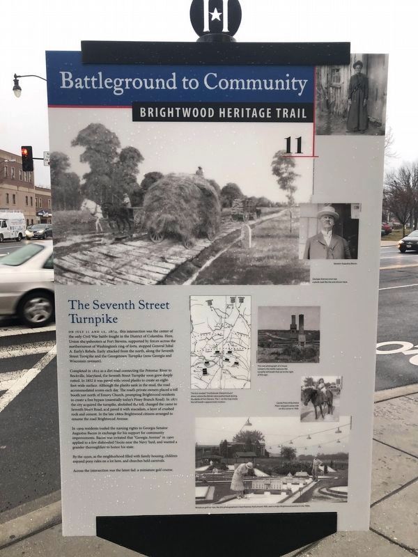
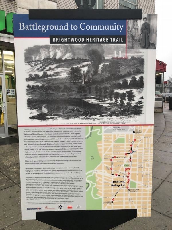
On July 11 and 12, 1864, this intersection was the center of the only Civil War battle fought in the District of Columbia. Here, Union sharpshooters at Fort Stevens, supported by forces across the northernmost of Washington's ring of forts, stopped General Jubal A. Early's Rebels. Early attacked from the north, along the Seventh Street Turnpike and the Georgetown Turnpike (now Georgia and Wisconsin avenues).
Completed in 1822 as a dirt road connecting the Potomac River to Rockville, Maryland, the Seventh Street Turnpike soon grew deeply rutted. In 1852 it was paved with wood planks to create an eight-foot-wide surface. Although the planks sank in the mud, the road accommodated scores each day. The roads private owners placed a toll booth just north of Emory Church, prompting Brightwood residents to create a free bypass (essentially today's Piney Branch Road). In 1871 the city acquired the turnpike, abolished the toll, changed the name to Seventh Street Road, and paved it with macadam, a layer of crushed rock and cement. In the late 1880s Brightwood citizens arranged to rename the road Brightwood Avenue.
In 1909 residents traded the naming rights to Georgia Senator Augustus Bacon in exchange for his support for community improvements. Bacon was irritated that "Georgia Avenue" in 1900 applied to a few disheveled blocks near the Navy Yard, and wanted a grander thoroughfare to honor his state.
By the 1930s, as the neighborhood filled with family housing, children enjoyed pony rides on a lot here, and churches held carnivals.
Across the intersection was the latest fad: a miniature golf course.
Erected 2008 by Cultural Heritage DC. (Marker Number 11.)
Topics and series. This historical marker is listed in these topic lists: Roads & Vehicles • War, US Civil. In addition, it is included in the Brightwood Heritage Trail series list. A significant historical month for this entry is July 1899.
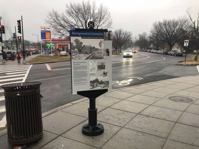
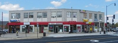
Location. 38° 58.053′ N, 77° 1.661′ W. Marker is in Northwest Washington in Washington, District of Columbia. It is in Brightwood. Marker is at the intersection of Piney Branch Road Northwest and Georgia Avenue Northwest (U.S. 29), on the right when traveling west on Piney Branch Road Northwest. The marker is on the northwest corner of Piney Branch Road Northwest at Georgia Avenue Northwest in front of the Fort Stevens Building. Touch for map. Marker is at or near this postal address: 6400 Piney Branch Road Northwest, Washington DC 20012, United States of America. Touch for directions.
Other nearby markers. At least 8 other markers are within walking distance of this marker. What a Beautiful Location, Brightwood (about 500 feet away, measured in a direct line); St. John United Baptist Church (about 500 feet away);
Credits. This page was last revised on January 30, 2023. It was originally submitted on April 28, 2013, by Allen C. Browne of Silver Spring, Maryland. This page has been viewed 1,023 times since then and 58 times this year. Last updated on September 12, 2018, by Allen C. Browne of Silver Spring, Maryland. Photos: 1, 2, 3. submitted on January 26, 2021, by Devry Becker Jones of Washington, District of Columbia. 4. submitted on April 28, 2013, by Allen C. Browne of Silver Spring, Maryland. • Bill Pfingsten was the editor who published this page.


