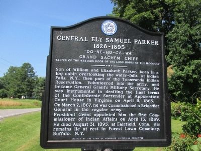
General Ely Samuel Parker 1828-1895
"Do-Ne-Ho-Ga-Wa" Grand Sachem Chief
— "Keeper of the Western Door of the Long House of the Iroquois" —
Son of William and Elizabeth Parker, born in a log cabin overlooking the water-falls, at Indian Falls, N.Y., then part of the Tonawanda Indian Reservation. Volunteered into the army, and became General Grant's Military Secretary. He was instrumental in drafting the final terms of the Confederate Surrender at Appomattox Court House in Virginia on April 9, 1865. On March 2, 1867, he was commissioned a Brigadier General in the regular army.
President Grant appointed him the first Commissioner of Indian Affairs on April 13, 1869. He died August 31, 1895, at Fairfield Conn. His remains lie at rest in Forest Lawn Cemetery, Buffalo, NY.
Erected by Town of Pembroke Historical Committe.
Topics and series. This historical marker is listed in these topic lists: Native Americans • Peace • War, US Civil. In addition, it is included in the Former U.S. Presidents: #18 Ulysses S. Grant, and the The Spirit of ’76, America’s Bicentennial Celebration series lists. A significant historical year for this entry is 1828.
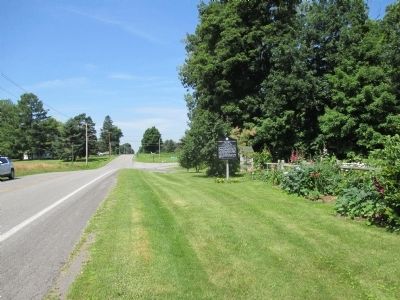
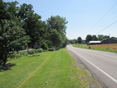
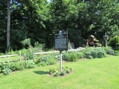
Location. 43° 1.503′ N, 78° 24.003′ W. Marker is in Pembroke, New York, in Genesee County. Marker is at the intersection of Akron Road (County Route 11) and Gilmore Road, on the right when traveling west on Akron Road. Marker
Other nearby markers. At least 8 other markers are within 4 miles of this marker, measured as the crow flies. Morrot's Boulder Amusement Park (approx. ¼ mile away); Schafer Farms (approx. 0.7 miles away); Town of Pembroke (approx. 2.2 miles away); Old Buffalo Road Cemetery (approx. 2.2 miles away); 1800 Brick House 1963 (approx. 2.2 miles away); Site of First Permanent Settlement (approx. 2.4 miles away); Treaty of 1857 (approx. 3.3 miles away); Basom Plot (approx. 3.3 miles away). Touch for a list and map of all markers in Pembroke.
Also see . . . Ely S. Parker - Wikipedia. (Submitted on August 8, 2014, by Anton Schwarzmueller of Wilson, New York.)
Credits. This page was last revised on August 2, 2020. It was originally submitted on August 8, 2014, by Anton Schwarzmueller of Wilson, New York. This page has been viewed 796 times since then and 45 times this year. Photos: 1, 2, 3, 4. submitted on August 8, 2014, by Anton Schwarzmueller of Wilson, New York. • Bill Pfingsten was the editor who published this page.


