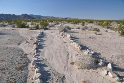
Near Chuckwalla in Riverside County, California — The American West (Pacific Coastal)
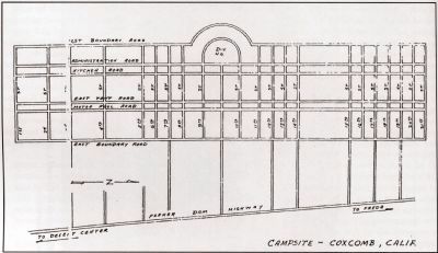
Coxcomb Divisional Camp
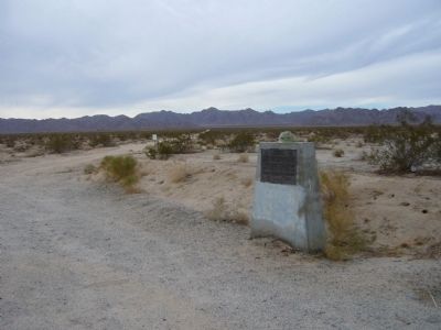
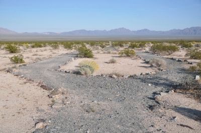
Camp Coxcomb
— Desert Training Center, California-Arizona Maneuver Area —
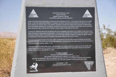
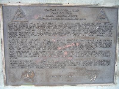
A total of thirteen infantry divisions and seven armored divisions plus numerous smaller units were trained in this harsh environment. The trianing center was in operation for almost 2 years and was closed early in 1944 when the last units were shipped overseas. During the brief period of operation over one million American soldiers were trained for combat.
The Sixth Armored Division was declared a liberating unit by the US Army's Center of Military History and the United States Holocaust Memorial Museum for the liberation of the Buchenwald concentration camp on April 11, 1945.
This monument is dedicated to all the soldiers that served here and especially for those who gave their lives in battle, ending the Holocaust and defeating the armed forces of Nazi Germany, Fascist Italy and Imperial Japan.
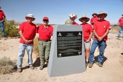
Plaque placed by the Billy Holcomb Chapter 1069 of the Ancient and Honorable Order of E Clampus Vitus and the Veterans of the 6th Armored Division, the 7th Armored Division Associations, in cooperation with the Bureau of Land Management, Needles Resource Area.
November 11, 1989
Re-dedicated March 14, 2014
Erected 1989 by The Billy Holcomb Chapter of the Ancient & Honorable Order of E Clampus Vitus, the Veterans of the 6th Armored Division, the 7th Armored Division Association and in cooperation with The Bureau of Land Management, Needles Resource Area. (Marker Number 148.)
Topics and series. This historical marker is listed in this topic list: War, World II. In addition, it is included in the Desert Training Center, and the E Clampus Vitus series lists. A significant historical date for this entry is March 14, 1910.
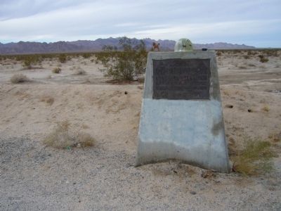
Location. 33° 54.5′ N, 115° 14.882′ W. Marker is near Chuckwalla, California, in Riverside County. Marker is at the intersection of California Route 177 at milepost 17 and Coxcomb Monument Road, on the left when traveling north on State Route 177. From I-10 about 45 miles east of Indio, exit at SR-177 (Desert Center). Take SR-177 north 17 miles. The marker is about 10 miles south of the junction of State Routes 62 and 177. Touch for map. Marker is in this post office area: Desert Center CA 92239, United States of America. Touch for directions.
Other nearby markers. At least 3 other markers
are within 14 miles of this marker, measured as the crow flies. Palen Pass (within shouting distance of this marker); Granite Divisional Camp (approx. 13.6 miles away); Iron Mountain Divisional Camp (approx. 13.8 miles away).
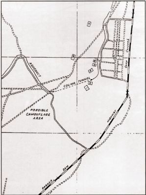
More about this marker. This camp is very near the Metropolitan Water Department canal. The troops did not siphon water without paying, as one old story goes. Agreements with the MWD and railroad companies were worked out before any of the camps were built. Electrical power was purchased from the main power lines connecting with Parker Dam.
SOURCE: Billy Holcomb Chapter 1069 35th Anniversary Plaque Book by Phillip Holdaway
Also see . . .
1. California/Arizona Maneuver Area. This was the largest Army base in the world covering some 18,000 square miles. It stretched from the outskirts of Pomona, California eastward to within 50 miles of Phoenix, Arizona, southward to the suburbs of Yuma, Arizona and northward into the southern tip of Nevada. It existed primarily to train U.S. forces in desert warfare for the North African campaign. (Submitted on January 4, 2011, by Bill Kirchner of Tucson, Arizona.)
2. Historic California Posts: Camp Coxcomb (Coxcomb Divisional Camp). (Submitted on December 30, 2011, by Michael Kindig of Elk Grove, California.)
Credits. This page was last revised on June 16, 2016. It was originally submitted on January 4, 2011, by Bill Kirchner of Tucson, Arizona. This page has been viewed 1,832 times since then and 72 times this year. Last updated on November 3, 2014, by Michael Kindig of Elk Grove, California. Photos: 1, 2. submitted on March 20, 2014, by Michael Kindig of Elk Grove, California. 3, 4, 5. submitted on January 4, 2011, by Bill Kirchner of Tucson, Arizona. 6, 7. submitted on December 30, 2011, by Michael Kindig of Elk Grove, California. 8, 9. submitted on March 19, 2013, by Michael Kindig of Elk Grove, California. • Bill Pfingsten was the editor who published this page.
