Ludlow in San Bernardino County, California — The American West (Pacific Coastal)
Project Carryall
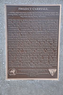
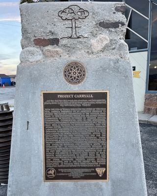
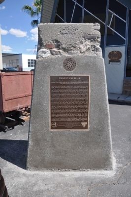
With the end of World War II and the onset of the Cold War, America embarked on an ambitious program to ensure the nation's preeminence in the nuclear arms race. To this end Edward Teller and the Atomic Energy Commission detonated hundreds of nuclear devices underwater, underground, and in the atmosphere. Weapons development remained paramount, but the AEC also held a mandate to develop peaceful uses for atomic power. In 1957 California's Lawrence Livermore Laboratory launched an experimental program called Operation Plowshare to use nuclear energy for such applications as power plants, medicine, mining, the extraction of oil and natural gas, and for the excavation of canals, harbors and roadways. Under Plowshare, a 1963 feasibility study was conducted for Project Carryall, a plan to realign the Atchison, Topeka and Santa Fe Railroad and provide a route for Interstate 40. 23 nuclear explosions totaling 1.8 Megatons were to be used to excavate 1 2-mile cut up to 350 feet deep through the Bristol Mountains east of Ludlow and remove 60 million cubic yards of rock. Despite many assurances of safety from the AEC, obvious environmental and health concerns over this and other Plowshare projects caused several postponements, and in 1968 the project was dropped completely. 28 nuclear tests were conducted under operation Plowshare before its termination in 1975.
Erected 2010 by Billy Holcomb Chapter No. 1069 of the Ancient and Honorable Order of E Clampus Vitus in cooperation with the Bureau of Land Management and the Knoll Family. (Marker Number 139.)
Topics and series. This historical marker is listed in these topic lists: Science & Medicine • War, Cold. In addition, it is included in the Atchison, Topeka and Santa Fe Railway, and the E Clampus Vitus series lists. A significant historical year for this entry is 1957.
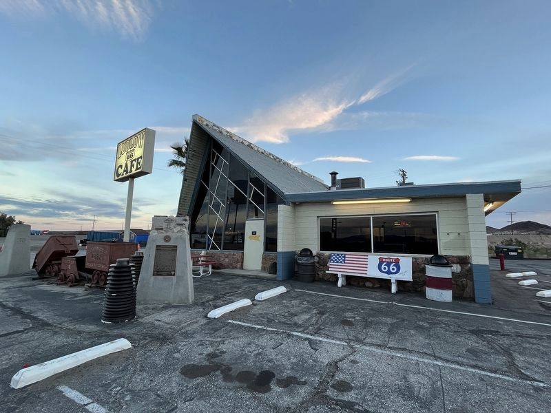
Location. 34° 43.419′ N, 116° 9.804′ W. Marker is in Ludlow, California, in San Bernardino County. Marker is at the intersection of National Trails Highway and Crucero Road, on the right when traveling east on National Trails Highway. Marker is located in front of the Ludlow Coffee Shop. Touch for map. Marker is at or near this postal address: 68315 National Trails Highway, Ludlow CA 92338, United States of America. Touch for directions.
Other nearby markers. At least 2 other markers are within 5 miles of this marker, measured as the crow flies. Tonopah and Tidewater Railroad Shops (here, next to this marker); Site of Ragtown (approx. 4.4 miles away).
Credits. This page was last revised on February 29, 2024. It was originally submitted on January 9, 2012, by Michael Kindig of Elk Grove, California. This page has been viewed 3,611 times since then and 270 times this year. Last updated on November 3, 2014, by Michael Kindig of Elk Grove, California. Photos: 1. submitted on January 9, 2012, by Michael Kindig of Elk Grove, California. 2. submitted on February 12, 2024, by Adam Margolis of Mission Viejo, California. 3. submitted on January 9, 2012, by Michael Kindig of Elk Grove, California. 4. submitted on February 12, 2024, by Adam Margolis of Mission Viejo, California. 5. submitted on January 9, 2012, by Michael Kindig of Elk Grove, California. • Bill Pfingsten was the editor who published this page.
