Chattahoochee in Gadsden County, Florida — The American South (South Atlantic)
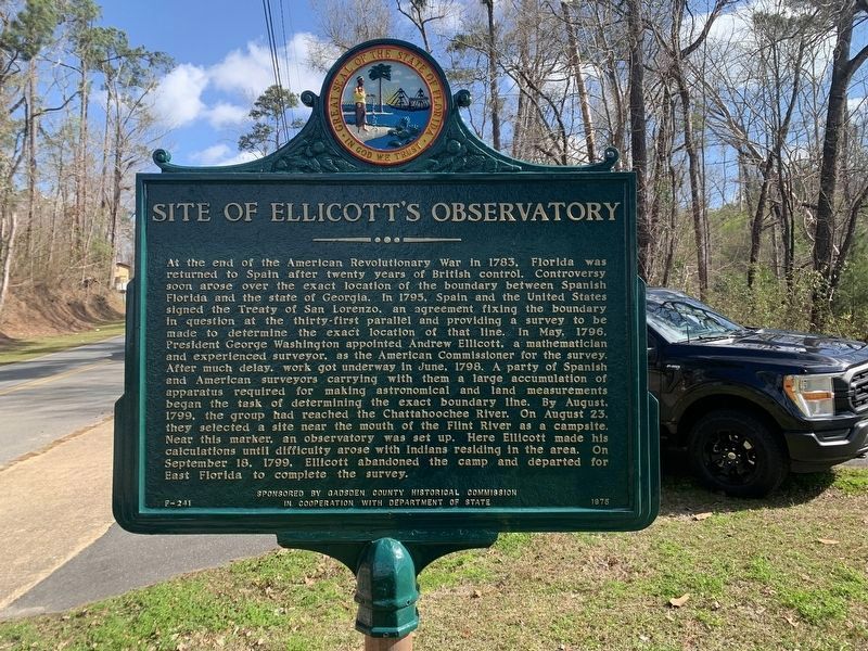
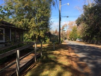
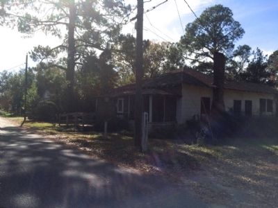
Site of Ellicott's Observatory
Inscription.
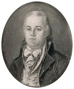
At the end of the American Revolutionary War in 1783, Florida was returned to Spain after twenty years of British control. Controversy soon arose over the exact location of the boundary between Spanish Florida and the state of Georgia. In 1795, Spain and the United States signed the Treaty of San Lorenzo, an agreement fixing the boundary in question at the thirty-first parallel and providing a survey to be made to determine the exact location of that line. In May, 1796, President George Washington appointed Andrew Ellicott, a mathematician and experienced surveyor, as the American Commissioner for the survey. After much delay, work got underway in June, 1798. A party of Spanish and American surveyors carrying with them a large accumulation of apparatus required for making astronomical and land measurements began the task of determining the exact boundary line. By August, 1799, the group had reached the Chattahoochee River. On August 23, they selected a site near the mouth of the Flint River as a campsite. Near this marker, an observatory was set up. Here Ellicott made his calculations until difficulty arose with Indians residing in the area. On September 18, 1799, Ellicott abandoned the camp and departed for East Florida to complete the survey.
Erected 1975 by the Gadsden County Historical Commission in cooperation with Department of State. (Marker Number F-241.)
Topics. This historical marker is listed in these topic lists: Colonial Era • Exploration • Native Americans. A significant historical month for this entry is May 1796.
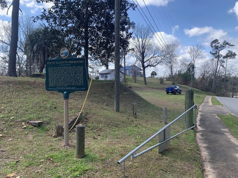
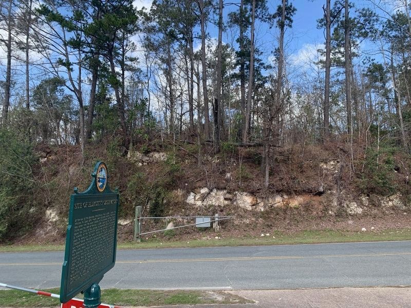
Location. 30° 42.092′ N, 84° 51.154′ W. Marker is in Chattahoochee, Florida, in Gadsden County. Marker is on River Landing Road, 0.2 miles south of U.S. 90, on the left when traveling south. Touch for map. Marker is in this post office area: Chattahoochee FL 32324, United States of America. Touch for directions.
Other nearby markers. At least 8 other markers are within walking distance of this marker. Old Spanish Trail (approx. 0.2 miles away); Karen's Mound (approx. 0.2 miles away); Ellicott's Camp and Observatory (approx. 0.2 miles away); Victory Bridge (approx. ¼ mile away); The Scott Massacre (approx. ¼ mile away); The Chattahoochee Landing Mound Group (approx. ¼ mile away); Nicoll's Outpost (approx. ¼ mile away); The Scott Battle of 1817 (approx. ¼ mile away). Touch for a list and map of all markers in Chattahoochee.
Related markers. Click here for a list of markers that are related to this marker.
Also see . . . Ellicott's Observatory - A Key Moment in Gadsden County, History. (Submitted on December 7, 2014, by Mark Hilton of Montgomery, Alabama.)
Credits. This page was last revised on August 16, 2023. It was originally submitted on December 7, 2014, by Mark Hilton of Montgomery, Alabama. This page has been viewed 706 times since then and 26 times this year. Photos: 1. submitted on August 16, 2023, by Tim Fillmon of Webster, Florida. 2. submitted on December 7, 2014, by Mark Hilton of Montgomery, Alabama. 3, 4. submitted on August 16, 2023, by Tim Fillmon of Webster, Florida. 5, 6, 7. submitted on December 7, 2014, by Mark Hilton of Montgomery, Alabama.
