Long Beach in Harrison County, Mississippi — The American South (East South Central)
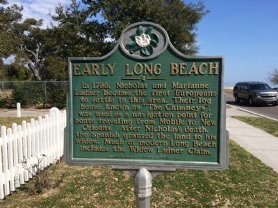
Early Long Beach
Erected 1999 by the Mississippi Department of Archives and History.
Topics and series. This historical marker is listed in these topic lists: Colonial Era • Settlements & Settlers • Waterways & Vessels. In addition, it is included in the Mississippi State Historical Marker Program series list. A significant historical year for this entry is 1788.
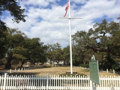
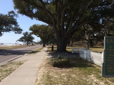
Location. 30° 21.128′ N, 89° 7.981′ W. Marker is in Long Beach, Mississippi, in Harrison County. Marker is on Beach Boulevard East (U.S. 90) 0.1 miles west of East Azalea Drive, on the right when traveling west. Touch for map. Marker is at or near this postal address: Beach Boulevard East, Long Beach MS 39560, United States of America. Touch for directions.
Other nearby markers. At least 8 other markers are within walking distance of this marker. "Friendship Oak" (approx. 0.2 miles away); Gulf Park College (approx. 0.2 miles away); a different marker also named Friendship Oak (approx. 0.2 miles away); Administration Building (approx. 0.2 miles away); Bear Point Bayou (approx. ¼ mile away); St. Thomas the Apostle Catholic Church (approx. 0.3 miles away); a different marker also named Early Long Beach (approx. 0.6 miles away); Long Beach Presbyterian Church (approx. one mile away). Touch for a list and map of all markers in Long Beach.
Related marker. Click here for another marker that is related to this marker.
Also see . . . Long Beach history. (Submitted on August 30, 2015, by Mark Hilton of Montgomery, Alabama.)
Credits. This page was last revised on June 16, 2016. It was originally submitted on February 23, 2015, by Mark Hilton of Montgomery, Alabama. This page has been viewed 472 times since then and 13 times this year. Photos: 1, 2, 3. submitted on February 23, 2015, by Mark Hilton of Montgomery, Alabama.


