Bronte in Coke County, Texas — The American South (West South Central)
Fort Chadbourne C.S.A. / Texas Civil War Frontier Defense
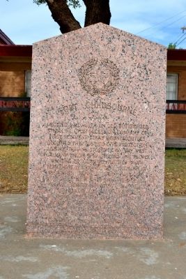
Fort Chadbourne C.S.A.
Located 8 mi. north on old Butterfield Stageline. Upon secession, company of First Regiment Texas Mounted Rifles occupied this post to give protection against Indians. Stopover on way west for many Union sympathizers and people wanting to avoid conflict of war. Permanent personnel left the fort in 1862 when the frontier defense line was pulled back more than 50 mi. east. However, scouting parties and patrols of Confederate and state troops used the fort intermittently in aggressive warfare to keep Indians near their camps and away from settlements and to check on the invasion by Union forces. Usually supplying their own mounts, guns and sustenance, these men guarded the frontier until war’s end.
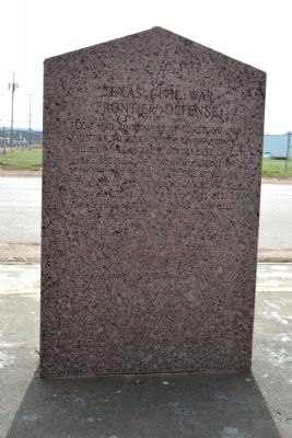
Texas Civil War Frontier Defense
Texas had 2000 miles of coastline and frontier to defend from Union attack, Indian raids, marauders. Defense lines were set to give maximum protection with the few men left in the state. One line stretched from El Paso to Brownsville. Another had posts set day’s horseback ride apart from Red River to the Rio Grande. Chadbourne and other U.S. outposts used by scouting parties lay in a line between. Behind these lines and to the east organized militia citizens’ posses from nearby settlement backed the Confederate and state troops to curb Indian raids.
A memorial to Texans who served the Confederacy
Erected 1964 by State of Texas. (Marker Number 1974.)
Topics. This historical marker is listed in these topic lists: Forts and Castles • War, US Civil • Wars, US Indian. A significant historical year for this entry is 1862.
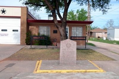
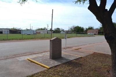
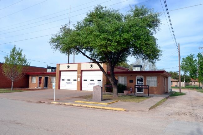
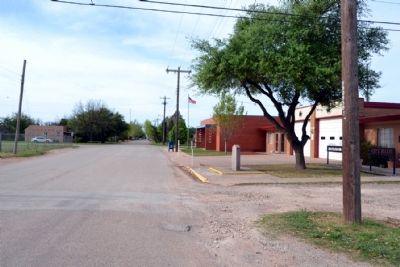
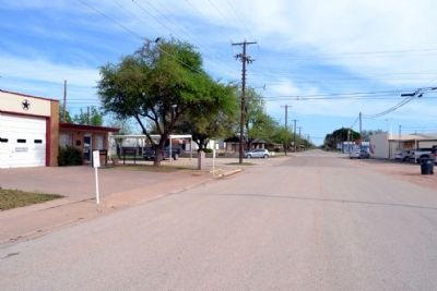
Location. 31° 53.215′ N, 100° 17.605′ W. Marker is in Bronte, Texas, in Coke County. Marker is on S. Washington Street south of W. Main Street (Texas Highway 158), on the right when traveling south. Marker is located in front of Bronte City Hall. Touch for map. Marker is at or near this postal address: 114 S Washington St, Bronte TX 76933, United States of America. Touch for directions.
Other nearby markers. At least 8 other markers are within 7 miles of this marker, measured as the crow flies. Bronte Depot (about 500 feet away, measured in a direct line); Bronte Veterans Memorial (about 600 feet away); First Methodist Church (approx. 0.2 miles away); First Baptist Church (approx. ¼ mile away); Bronte (approx. 0.4 miles away); Townsite of Marie (approx. 5½ miles away); Southern Overland Mail, 1858-1861 (approx. 5.8 miles away); W.H. Brown (approx. 6.3 miles away). Touch for a list and map of all markers in Bronte.
Also see . . . Fort Chadbourne. Official website of the Fort Chadbourne Foundation. (Submitted on April 12, 2015.)
Credits. This page was last revised on June 16, 2016. It was originally submitted on April 12, 2015, by Duane Hall of Abilene, Texas. This page has been viewed 624 times since then and 33 times this year. Photos: 1, 2, 3, 4, 5, 6, 7. submitted on April 12, 2015, by Duane Hall of Abilene, Texas.
