Celina in Mercer County, Ohio — The American Midwest (Great Lakes)
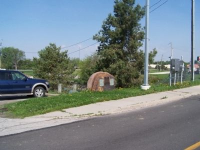
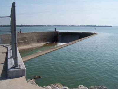
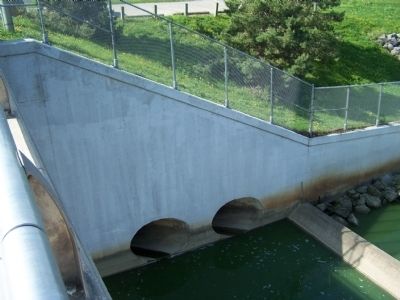
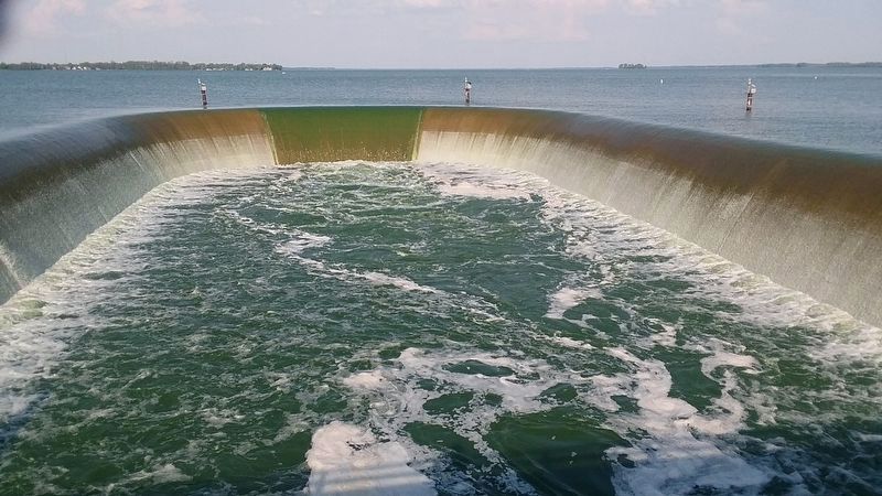
Grand Lake St. Marys Spillway
Mercer County Reservoir
— Miami and Erie Canal Feeder —
Inscription.
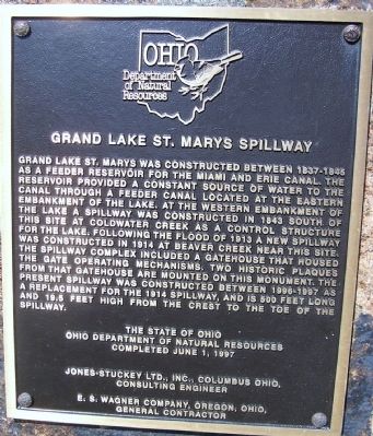
Grand Lake St. Marys was constructed between 1837 and 1845
as a feeder reservoir for the Miami and Erie Canal. The
reservoir provided a constant source of water for the
canal through a feeder canal located at the eastern
embankment of the lake. At the western embankment of
the lake a spillway was constructed in 1843 south of
the site of Coldwater Creek as a control structure
for the lake. Following the Flood of 1913 a new spillway
was constructed in 1914 at Beaver Creek near this site
The spillway complex included a gatehouse that housed
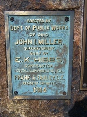
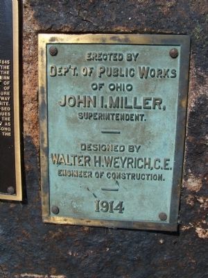
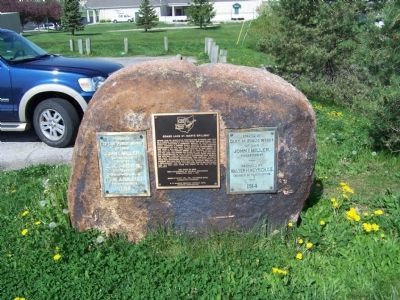
the gate opening mechanisms. Two historic plaques
from that gatehouse are mounted on this monument. The
present spillway was constructed between 1996- 1997 as
a replacement for the 1914 spillway, and is 500 feet long
and 19.5 feet from the crest to the toe of the
spillway.
The State of Ohio
Ohio Department of Natural Resources
completed June 1, 1997
Jones- Stuckey LTD., Inc., Columbus, Ohio,
Cconsulting Engineer
E. S. Wagner Company, Oregon, Ohio,
General Contractor
Erected 1997 by Ohio Department of Natural Resources.
Topics and series. This historical marker is listed in these topic lists: Bridges & Viaducts • Waterways & Vessels
Location. 40° 32.065′ N, 84° 34.452′ W. Marker is in Celina, Ohio, in Mercer County. Marker is on West Bank Road (Ohio Route 703), on the right when traveling south. marker is on St Rt 703 at the west end of the lake, on the south side of the spillway. Touch for map. Marker is at or near this postal address: 1105 W Bank Rd, Celina OH 45822, United States of America. Touch for directions.
Other nearby markers. At least 8 other markers are within walking distance of this marker. Points Of Intrest In Mercer And Auglaize Counties (approx. 0.7 miles away); Grand Lake St. Marys (approx. 0.7 miles away); Geologic History (approx. 0.7 miles away); Lake Improvments (approx. 0.7 miles away); Mercer County Courthouse (approx. 0.7 miles away); Grand Lake St. Marys Points Of Interest (approx. 0.7 miles away); Celina City Hall (approx. 0.7 miles away); Prehistoric Indians / Historic Indians (approx. 0.7 miles away). Touch for a list and map of all markers in Celina.
Also see . . . Grand Lake St. Marys Spillway. (Submitted on November 25, 2020, by Craig Doda of Napoleon, Ohio.)
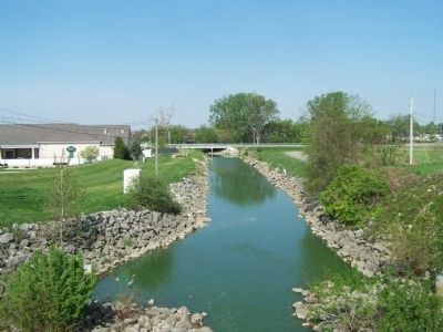
Photographed By Rev. Ronald Irick, May 8, 2015
9. Grand Lake St. Marys Spillway Marker
the Beaver, flowing west. 19 miles west it joins the Wabash, eventually entering the Mississippi. The east end of the lake feeds the Miami & Erie Canal, flowing to the Maumee, which enters the Great Lakes, and eventually the Atlantic.
Credits. This page was last revised on November 26, 2020. It was originally submitted on May 14, 2015, by Rev. Ronald Irick of West Liberty, Ohio. This page has been viewed 1,624 times since then and 136 times this year. Photos: 1, 2, 3, 4, 5, 6, 7. submitted on May 14, 2015, by Rev. Ronald Irick of West Liberty, Ohio. 8. submitted on November 25, 2020, by Craig Doda of Napoleon, Ohio. 9. submitted on May 14, 2015, by Rev. Ronald Irick of West Liberty, Ohio. • Bill Pfingsten was the editor who published this page.
