Delta in Madison Parish, Louisiana — The American South (West South Central)
Mississippi Sidestep
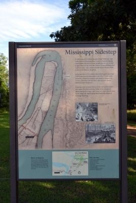
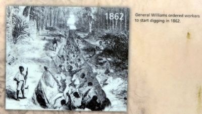
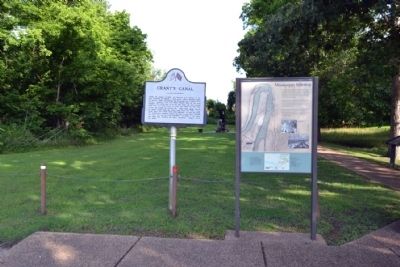
In 1862, powerful Confederate guns along Vicksburg’s high bluffs kept the Mississippi River closed to Federal shipping. Union leaders decided the army should take the city by land to gain control of the river. But General Thomas Williams had a different idea—dig a canal across the foot of De Soto Point to bypass the batteries altogether.
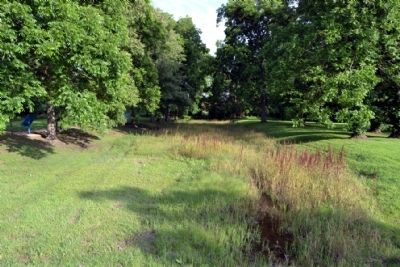
In the June heat, Union soldiers labored alongside more than 1,200 formerly enslaved people to carve the 1.5 mile canal. Sunstroke, exhaustion, malaria, and dysentery plagued workers. Hundreds lost their lives. After just one month, Williams halted the project.
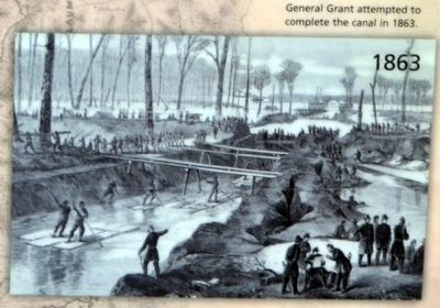
In January 1863, General Ulysses Grant took up the project once again. His plans were also hindered by widespread illness among the troops—and rising river waters that flooded Union camps. By March, Grant abandoned this dream of avoiding Vicksburg.
More to Explore
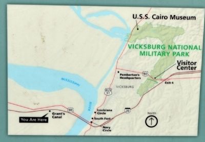
There’s a whole national park out there! Grant’s Canal is one of several locations in Vicksburg National Military Park. The green on the map protects and preserves the siege and defense lines where Union and Confederate forces faced off in 1863. Follow I-20 east to the main entrance on Clay Street.
You can see ...
- Visitor Center exhibits, bookstore, and orientation film
- 16-mile tour road
- Battlefield overlooks
- Monuments
- U.S.S. Cairo Museum and restored ironclad gunboat
- Vicksburg National Cemetery
- Pemberton’s Headquarters
Erected by National Park Service.
Topics and series. This historical marker is listed in these topic lists: African Americans • War, US Civil • Waterways & Vessels. In addition, it is included in the Former U.S. Presidents: #18 Ulysses S. Grant series list. A significant historical month for this entry is January 1863.
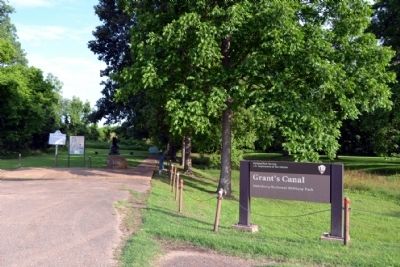
Location. 32° 19.258′ N, 90° 55.981′ W. Marker is in Delta, Louisiana, in Madison Parish. Marker can be reached from the intersection of Old Highway 80 East and Stafford Drive, on the left when traveling south. Marker is located in the Grant’s Canal unit of the Vicksburg National Military Park; the above directions are to the parking lot. Touch for map. Marker is in this post office area: Delta LA 71233, United States of America. Touch for directions.
Other nearby markers. At least 8 other markers are within walking distance of this marker. Grant's Canal (here, next to this marker); a different marker also named Grant's Canal (here, next to this marker); U.S. Operations Against Vicksburg (here, next to this marker); Williams' Canal – 1862 (here, next to this marker); Grant's Canal – 1863 (a few steps from this marker); Freedmen Fight at Milliken's Bend
(a few steps from this marker); U.S. African Brigade (within shouting distance of this marker); Ninth Regiment Connecticut Volunteers (within shouting distance of this marker). Touch for a list and map of all markers in Delta.
Also see . . . Grant's Canal. From the National Park Service website for Vicksburg National Military Park. (Submitted on June 17, 2015.)
Credits. This page was last revised on February 16, 2021. It was originally submitted on June 17, 2015, by Duane Hall of Abilene, Texas. This page has been viewed 564 times since then and 17 times this year. Photos: 1, 2, 3, 4, 5, 6, 7. submitted on June 17, 2015, by Duane Hall of Abilene, Texas.
