Tupelo in Lee County, Mississippi — The American South (East South Central)
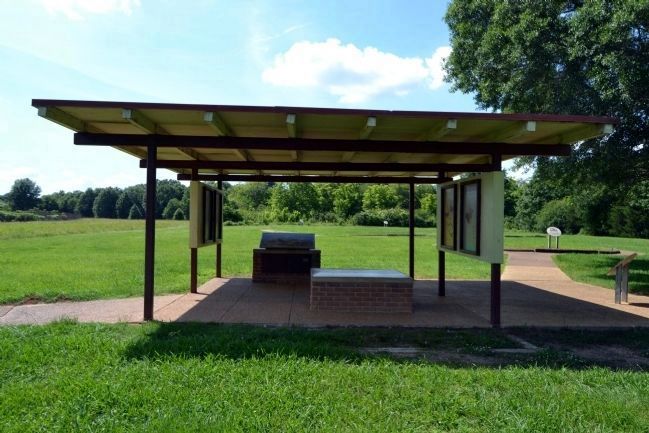
Chickasaw Village Site
(Marker #1)
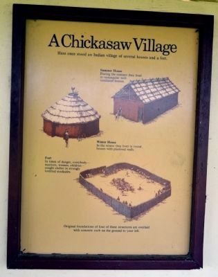
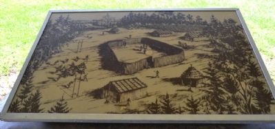
A Chickasaw Village
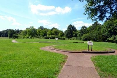
Here once stood an Indian village of several houses and a fort.
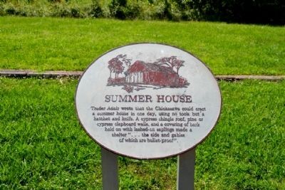
Summer House
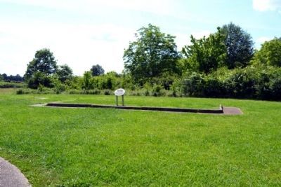
During the summer they lived in rectangular well-ventilated houses.
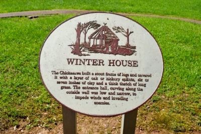
Winter House
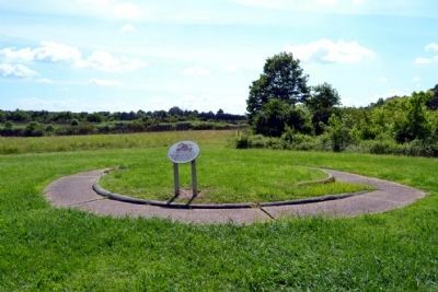
In the winter they lived in round houses with plastered walls.
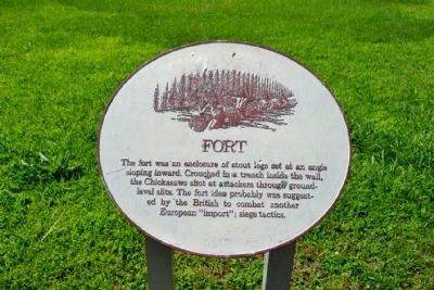
Fort
In times of danger, everybody—warriors, women, children—sought shelter in strongly fortified stockades.
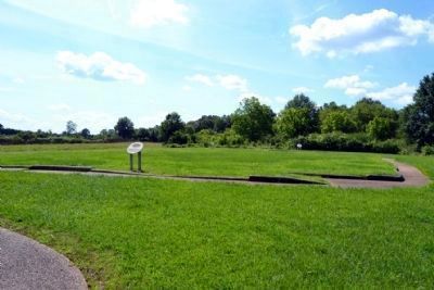
Original foundations of four of these structures are overlaid with concrete curb on the ground to your left.
(Marker #2)
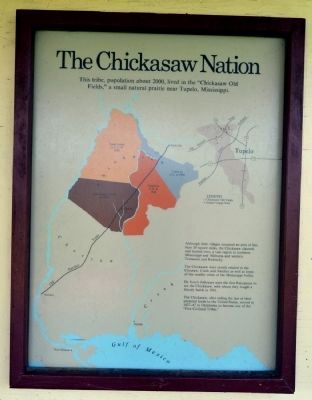
The Chickasaw Nation
This tribe, population about 2000, lived in the “Chickasaw Old Fields,” a small natural prairie near Tupelo, Mississippi.
Although their villages occupied an area of less than 20 square miles, the Chickasaw claimed, and hunted over, a vast region in northern Mississippi and Alabama and western Tennessee and Kentucky.
The Chickasaw were closely related to the Choctaw, Creek and Natchez as well as some of the smaller tribes of the Mississippi River.
De Soto’s followers were the first Europeans to see the Chickasaw, with whom they fought a bloody battle in 1541.
The Chickasaw, after ceding the last of their ancestral lands to the United States, moved in 1837-47 to Oklahoma to become one of the “Five Civilized Tribes.”
(Marker #3)
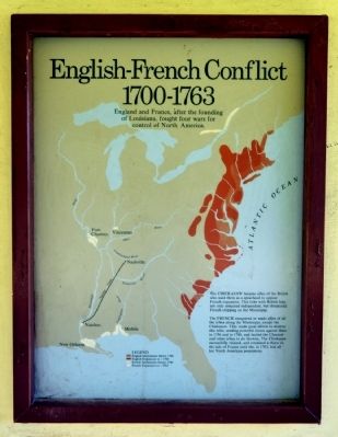
English - French Conflict
1700 - 1763
England and France, after the founding of Louisiana, fought four wars for control of North America.
The CHICKASAW became allies of the British who used them as a spearhead to oppose French expansion. This tribe with British help not only remained independent, but threatened French shipping on the Mississippi.
The FRENCH conquered or made allies of all the tribes along the Mississippi, except the Chickasaw. They made great efforts to destroy this tribe, sending powerful forces against them in 1736 and in 1740, and incited the Choctaw and other tribes to do likewise. The Chickasaw successfully resisted, and remained a thorn in the side of France until she, in 1763, lost all her North American possessions.
(Marker #4)
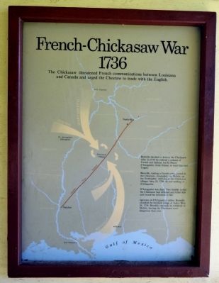
French - Chickasaw War
1736
The Chickasaw threatened French communications between Louisiana and Canada and urged the Choctaw to trade with the English.
Bienville decided to destroy the Chickasaw tribe. In 1735 he ordered a column of French and Indians, led by Pierre d’Artaguette, from Illinois, to meet him near Tupelo.
Bienville, leading a French army, joined by the Choctaws, proceeded, via Mobile, up the Tombigbee. Arriving at the Chickasaw villages, May 25, 1736, he saw nothing of d’Artaguette.
D’Artaguette was dead. Two months earlier the Chickasaw had defeated and killed him and forced his followers to flee.
Ignorant of d’Artaguette’s defeat, Bienville attack the fortified village of Ackia, May 26, 1736. Bloodily repulsed, he withdrew to Mobile, leaving the Chickasaw more dangerous than ever.
Erected by National Park Service.
Topics and series. This historical marker is listed in these topic lists: Colonial Era • Native Americans. In addition, it is included in the Natchez Trace series list. A significant historical date for this entry is May 25, 1844.
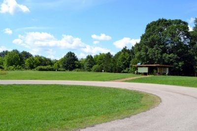
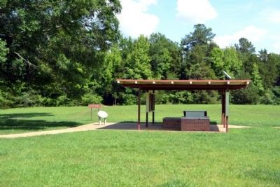
Location. 34° 16.708′ N, 88° 44.504′ W. Marker is in Tupelo, Mississippi, in Lee County. Marker can be reached from Natchez Trace Parkway (at milepost 261.8), half a mile south of McCullough Boulevard (Mississippi Highway 178), on the left when traveling north. Marker is located at the Chickasaw Village Site turnoff from the Natchez Trace Parkway. Touch for map. Marker is in this post office area: Tupelo MS 38801, United States of America. Touch for directions.
Other nearby markers. At least 8 other markers are within 2 miles of this marker, measured as the crow flies. Battle of Tupelo (approx. 1.6 miles away); a different marker also named Battle of Tupelo (approx. 1.6 miles away); Tupelo Campaign: Pontotoc Road, July 13 (approx. 2 miles away); Tupelo Campaign: Harrisburg July 14 (approx. 2 miles away); Tupelo Campaign: Old Town Creek, July 15 (approx. 2 miles away); Robins Field / High School Football During Segregation (approx. 2 miles away); Carver School / Desegregation of Schools Across the South (approx. 2 miles away); Natchez Trace at Lee County (approx. 2 miles away). Touch for a list and map of all markers in Tupelo.
Also see . . .
1. Natchez Trace. Official National Park Service website. (Submitted on June 29, 2015.)
2. Chickasaw Village and Fort Site - Tupelo, Mississippi. From the Explore Southern History website. (Submitted on June 29, 2015.)
Photographed By Duane Hall, June 4, 2015
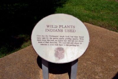
9. Wild Plants Indians Used Info Sign
Corn was the Chickasaws’ staple food; but they found many uses for the native plants growing nearby. With signs along this trail, an Indian boy will tell you about some of their favorites. The trail will add about 15 minutes to your walk back to the parking lot.
Photographed By Duane Hall, June 4, 2015
11. Winter House Info Sign
The Chickasaws built a stout frame of logs and covered it with a layer of oak or hickory splints, six or seven inches of clay and a thick thatch of long grass. The entrance hall, curving along the outside wall was low and narrow, to impede winds and invading enemies.
Photographed By Duane Hall, June 4, 2015
13. Fort Info Sign
The fort was an enclosure of stout logs set at an angle sloping inward. Crouched in a trench inside the wall, the Chickasaws shot at attackers through ground level slits. The fort idea probably was suggested by the British to combat another European “import”; siege tactics.
Photographed By Duane Hall, June 4, 2015
15. Summer House Info Sign
Trader Adair wrote that the Chickasaws could erect a summer house in one day, using no tools but a hatchet and knife. A cypress shingle roof, pine or cypress clapboard walls, and a covering of bark held on with lashed-on saplings made a shelter “... the side and gables of which are bullet-proof”.
Photographed By Duane Hall, June 4, 2015
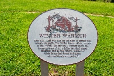
17. Winter Warmth Info Sign
Each day, a fire was built on the floor to furnish heat through the night. The British trader, Adair, reported that “While the new fire is burning down, the house, for want of air, is full of heat and smoky darkness; and all this time a number of them lie on the board bed places with their heads wrapped up”.
Credits. This page was last revised on June 16, 2016. It was originally submitted on June 29, 2015, by Duane Hall of Abilene, Texas. This page has been viewed 1,197 times since then and 136 times this year. Photos: 1, 2, 3, 4, 5, 6, 7, 8, 9, 10, 11, 12, 13, 14, 15, 16, 17. submitted on June 29, 2015, by Duane Hall of Abilene, Texas.
