Near Shannon in Lee County, Mississippi — The American South (East South Central)
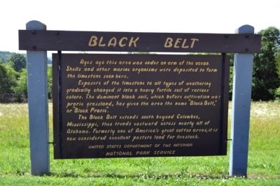
Black Belt
Exposure of the limestone to all types of weathering gradually changed it into a heavy fertile soil of various colors. The dominant black soil, which before cultivation was prarie grassland, has given the area the name “Black Belt,” or “Black Prarie”.
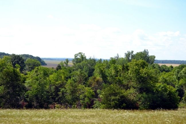
The Black Belt extends south beyond Columbus, Mississippi, then trends eastward across nearly all of Alabama. Formerly one of America’s great cotton areas, it is now considered excellent pasture land for livestock.
Erected by National Park Service.
Topics and series. This historical marker is listed in these topic lists: Agriculture • Environment. In addition, it is included in the Natchez Trace series list.
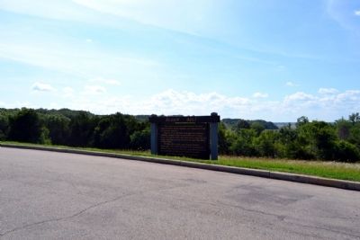
Location. 34° 8.983′ N, 88° 49.193′ W. Marker is near Shannon, Mississippi, in Lee County. Marker is on Natchez Trace Parkway (at milepost 251.9), 0.3 miles north of Pontocola Road (County Road 506), on the left when traveling north. Touch for map. Marker is in this post office area: Shannon MS 38868, United States of America. Touch for directions.
Other nearby markers. At least 8 other markers are within 7 miles of this marker, measured as the crow flies. Chickasaw Council House (approx. 0.8 miles away); Tockshish (approx. 2.3 miles away); Site of Pontotoc Creek Treaty (approx. 5.4 miles away); a different marker also named Site of Pontotoc Creek Treaty (approx. 5½ miles away); Zion School (approx. 5.6 miles away); Monroe Mission Station (approx. 6.2 miles away); Verona (approx. 6.6 miles away); Battle of Okolona (approx. 6.7 miles away). Touch for a list and map of all markers in Shannon.
Also see . . . Natchez Trace. Official National Park Service website. (Submitted on June 29, 2015.)
Credits. This page was last revised on June 16, 2016. It was originally submitted on June 29, 2015, by Duane Hall of Abilene, Texas. This page has been viewed 532 times since then and 30 times this year. Photos: 1, 2, 3. submitted on June 29, 2015, by Duane Hall of Abilene, Texas.


