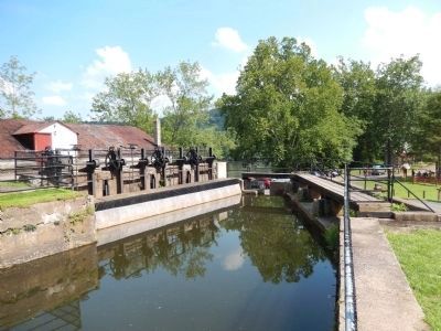
Williams Township near Easton in Northampton County, Pennsylvania — The American Northeast (Mid-Atlantic)
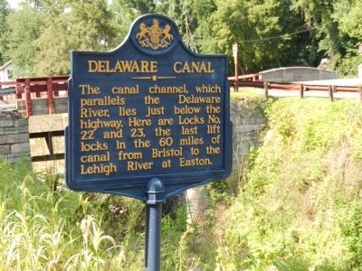
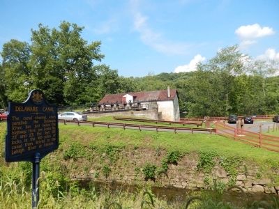
Delaware Canal
Erected 1949 by Pennsylvania Historical & Museum Commission.
Topics and series. This historical marker is listed in this topic list: Waterways & Vessels. In addition, it is included in the Delaware Canal (AKA Delaware Division of the Pennsylvania Canal), and the Pennsylvania Historical and Museum Commission series lists.
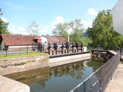
Location. 40° 37.62′ N, 75° 11.46′ W. Marker is near Easton, Pennsylvania, in Northampton County. It is in Williams Township. Marker is on South Delaware Drive. The marker is on the grounds of the Delaware Canal State Park, Locks 22, 23. Touch for map. Marker is at or near this postal address: 2340 S Delaware Dr, Easton PA 18042, United States of America. Touch for directions.
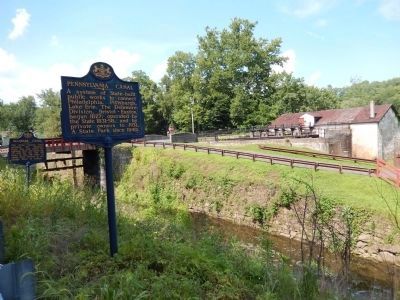
Other nearby markers. At least 8 other markers are within walking distance of this marker. Pennsylvania Canal (here, next to this marker); Mules and Men (within shouting distance of this marker); The Lost Town of Uhlersville (within shouting distance of this marker); A Transportation Hub (within shouting distance of this marker); Taking Advantage of Water Power (within shouting distance of this marker); Life Along The Canal (within shouting distance of this marker); Maurice K. Goddard (within shouting distance of this marker); Carpentersville (approx. 0.6 miles away in New Jersey). Touch for a list and map of all markers in Easton.
Also see . . .
1. Delaware Canal State Park. The state park website. (Submitted on July 27, 2015.)
2. Canal Road Bridge, Canal Road spanning Delaware Canal Diversion, Locks 22 & 23 in Delaware Canal... The Historic American Buildings Survey record for the canal infrastructure at the marker site. (Submitted on July 27, 2015.)
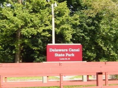
Photographed By Don Morfe, July 19, 2015
6. Delaware Canal Marker-Sign at the entrance to the park
A walk along the 60-mile long towpath of Delaware Canal State Park is a stroll into American history. Paralleling the Delaware River between Easton and Bristol, this diverse park contains an historic canal and towpath, a 90-acre pond, many miles of river shoreline and 11 river islands. From riverside to farm fields to historic towns, visitors to Delaware Canal State Park will enjoy the ever-changing scenery along its corridor. - Delaware Canal State Park Website
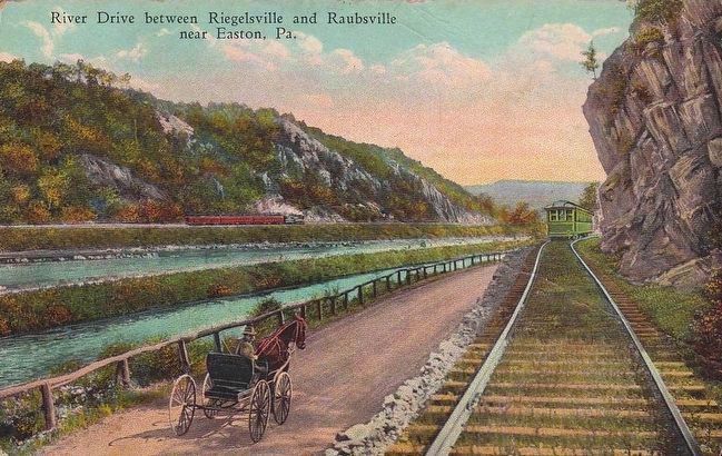
circa 1910
7. River Drive between Riegelsville and Raubsville near Easton, Pa.
Although the makers of this postcard probably never thought of it this way, what is depicted here is a pre-automobile transportation corridor providing the right of way for five possible modes of transportation: the railroad, the Delaware River, the Delaware Canal, the towpath/road, and the trolley.
Credits. This page was last revised on February 7, 2023. It was originally submitted on July 25, 2015, by Don Morfe of Baltimore, Maryland. This page has been viewed 402 times since then and 32 times this year. Photos: 1, 2, 3, 4, 5, 6. submitted on July 25, 2015, by Don Morfe of Baltimore, Maryland. 7. submitted on July 27, 2015. • Bill Pfingsten was the editor who published this page.
