Near Uriah in Monroe County, Alabama — The American South (East South Central)
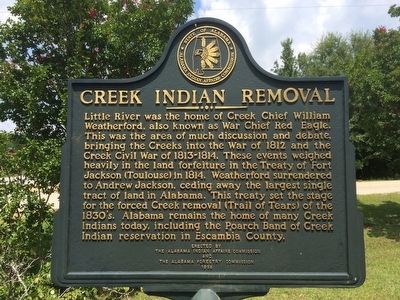
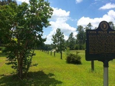
Creek Indian Removal
Erected 1998 by the Alabama Indian Affairs Commission and the Alabama Forestry Commission.
Topics and series. This historical marker is listed in these topic lists: Native Americans • Wars, US Indian. In addition, it is included in the Former U.S. Presidents: #07 Andrew Jackson series list. A significant historical year for this entry is 1812.
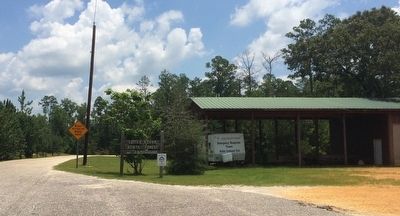
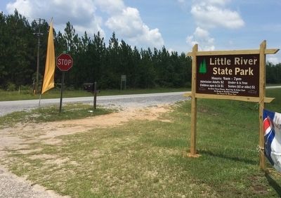
Location. 31° 15.588′ N, 87° 29.616′ W. Marker is near Uriah, Alabama, in Monroe County. Marker is at the intersection of Alabama Route 21 at milepost 19 and H-Kyle Road, on the right when traveling north on State Route 21. Touch for map. Marker is at or near this postal address: 580 H-Kyle Road, Uriah AL 36480, United States of America. Touch for directions.
Other nearby markers. At least 8 other markers are within 18 miles of this marker, measured as the crow flies. Uriah Veterans Memorial (approx. 3.2 miles away); Old Federal Road (approx. 3.9 miles away); a different marker also named Old Federal Road (approx. 8 miles away); History of Lottie, Alabama (approx. 12.8 miles away); Frisco City Town Park (approx. 13 miles away); The Canoe Fight (approx. 15.6 miles away); French's Chapel (approx. 16 miles away); Gainestown (approx. 17˝ miles away).
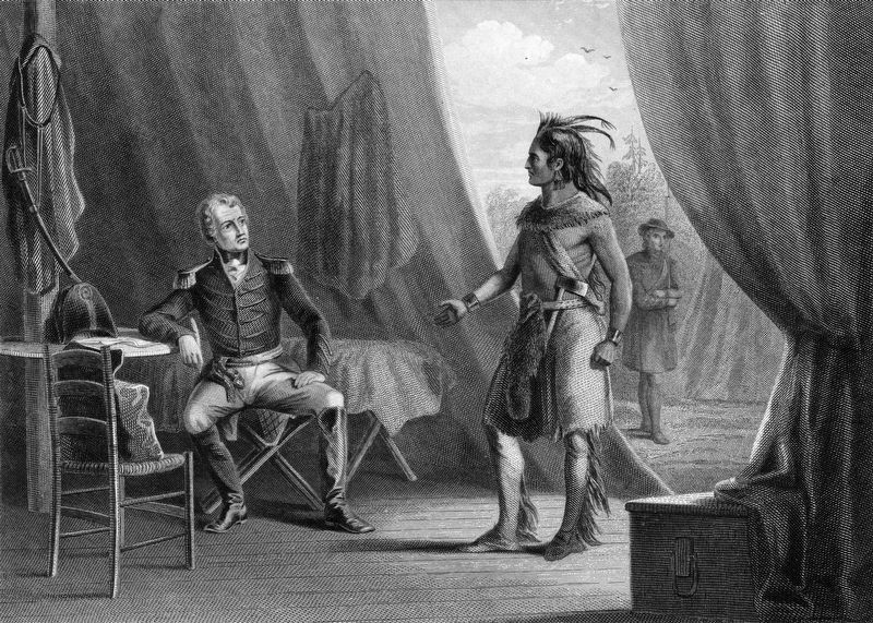
Regarding Creek Indian Removal. “The Treaty of Fort Jackson,” which is also known as the “1814 Treaty with the Creeks.” This treaty was signed near Wetumpka on Aug. 9, 1814 after the Battle of Horseshoe Bend. In addition to Andrew Jackson and William Weatherford, other men who signed the treaty include William McIntosh Jr., Folappo Haujo of the Eufaulau Indians, John O'Kelly of the Coosa Indians, Eneah Thlucco Hopoiee of the Talesee Indians and Tuskegee Emautla of the Tuskegee Indians.
“The Trail of Tears” came about mostly due to the Indian Removal Act of 1830, which was passed into law on May 28, 1830 during Andrew Jackson’s presidency. Not all Indians were removed from Alabama, however, as evidenced by the presence of the Poarch Creek Indians and their reservation near Atmore.
Also see . . .
The Creek War of 1813-1814 in AL, GA & FL. (Submitted on July 27, 2015, by Mark Hilton of Montgomery, Alabama.)
Additional keywords. Forced removal, genocide
Credits. This page was last revised on August 4, 2020. It was originally submitted on July 26, 2015, by Mark Hilton of Montgomery, Alabama. This page has been viewed 1,097 times since then and 84 times this year. Photos: 1. submitted on July 26, 2015, by Mark Hilton of Montgomery, Alabama. 2. submitted on December 25, 2018, by Allen C. Browne of Silver Spring, Maryland. 3, 4, 5. submitted on July 27, 2015, by Mark Hilton of Montgomery, Alabama.
