Reynoldstown in Atlanta in Fulton County, Georgia — The American South (South Atlantic)
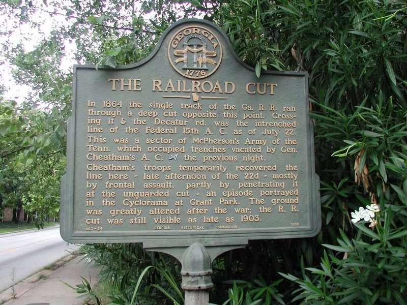
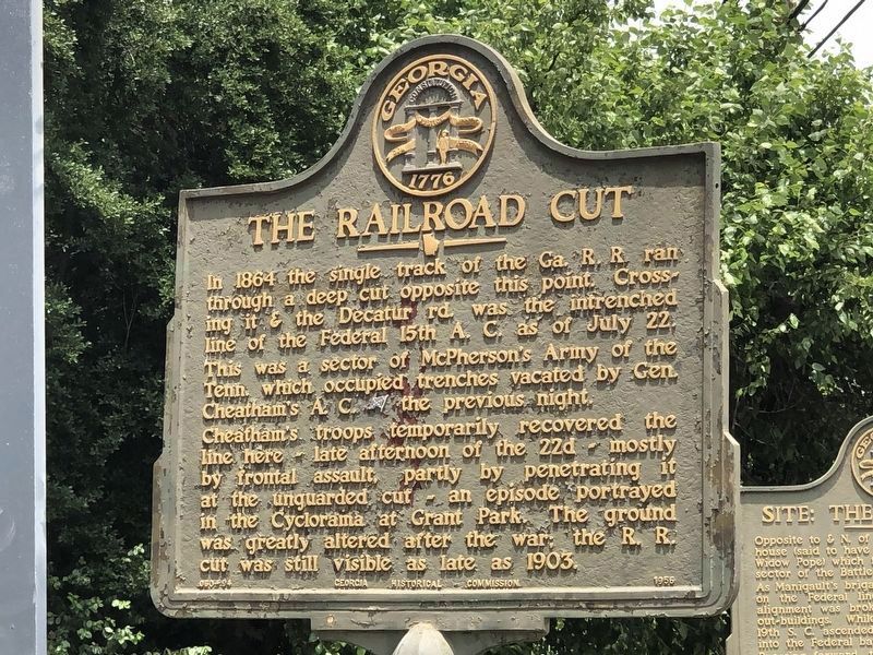
The Railroad Cut
Cheatham's troops temporarily recovered the line here - late afternoon of the 22d - mostly by frontal assault, partly by penetrating it at the unguarded cut - an episode portrayed in the Cyclorama at Grant Park. The ground was greatly altered after the war; the R.R. cut was still visible as late as 1903.
Erected 1956 by Georgia Historical Commission. (Marker Number 060-94.)
Topics and series. This historical marker is listed in this topic list: War, US Civil. In addition, it is included in the Georgia Historical Society series list. A significant historical month for this entry is July 1860.
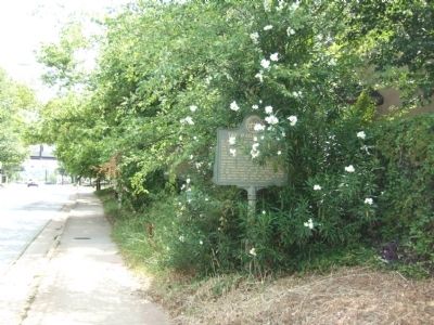
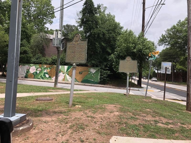
Location. 33° 45.476′ N, 84° 21.171′ W. Marker is in Atlanta, Georgia, in Fulton County. It is in Reynoldstown. Marker is at the intersection of DeKalb Avenue NE and Battery Place NE, on the right when traveling west on DeKalb Avenue NE. Touch for map. Marker is in this post office area: Atlanta GA 30307, United States of America. Touch for directions.
Other nearby markers. At least 8 other markers are within walking distance of this marker. Site: The Pope House (a few steps from this marker); The 15th Corps Sector (within shouting distance of this marker); Manigault's Brigade (about 300 feet away, measured in a direct line); The Troup Hurt House (about 600 feet away); The DeGress Battery (approx. 0.2 miles away); Federal Signal Station (approx. ¼ mile away); Brig. Gen. A. M. Manigault’s Brigade (approx. ¼ mile away); Springvale Park (approx. ¼ mile away). Touch for a list and map of all markers in Atlanta.
More about this marker. The marker was relocated 100 yds southwest of its original location (GPS 33.75835, -84.35222).
Credits. This page was last revised on July 8, 2023. It was originally submitted on July 3, 2008, by Felch Dumas of Decatur, Georgia. This page has been viewed 1,496 times since then and 36 times this year. Photos: 1. submitted on September 23, 2020, by Byron Hooks of Sandy Springs, Georgia. 2. submitted on July 3, 2008, by Felch Dumas of Decatur, Georgia. 3, 4. submitted on July 3, 2023, by Duane and Tracy Marsteller of Murfreesboro, Tennessee. • Craig Swain was the editor who published this page.


