Hopkinsville in Christian County, Kentucky — The American South (East South Central)
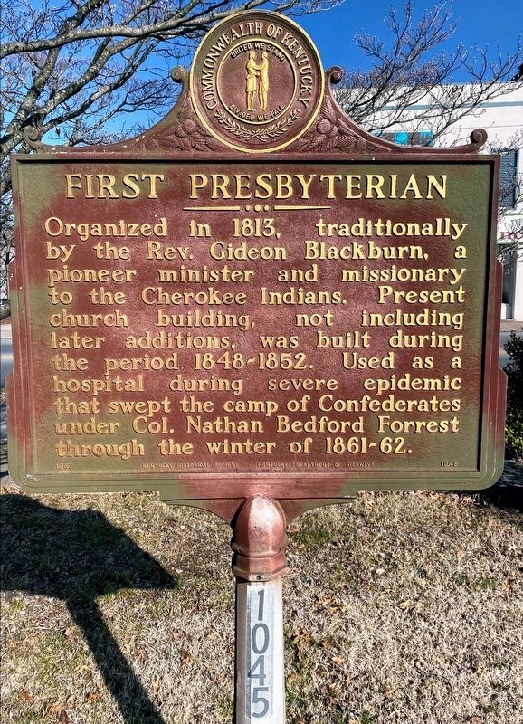
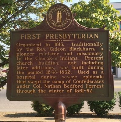
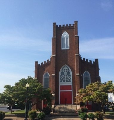
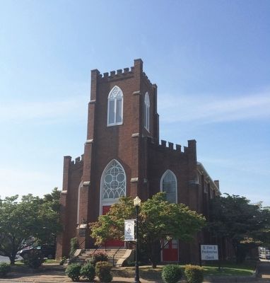
First Presbyterian
Erected 1967 by the Kentucky Historical Society Kentucky Department of Highways. (Marker Number 1045.)
Topics and series. This historical marker is listed in these topic lists: Churches & Religion • Native Americans • War, US Civil. In addition, it is included in the Kentucky Historical Society series list. A significant historical year for this entry is 1813.
Location. 36° 51.868′ N, 87° 29.206′ W. Marker is in Hopkinsville, Kentucky, in Christian County. Marker can be reached from the intersection of East 9th Street (Kentucky Route 109) and Liberty Street. Marker is on the lawn on left side front of church obscured by a tree. Touch for map. Marker is at or near this postal address: 303 East 9th Street, Hopkinsville KY 42240, United States of America. Touch for directions.
Other nearby markers. At least 8 other markers are within walking distance of this marker. U.S. Post Office Building (within shouting distance of this marker); Hotel Latham (about 600 feet away, measured in a direct line); Peace Park (about 600 feet away); Grace Episcopal Church (about 700 feet away); Ted Poston "Dean of Black Journalists" (approx. 0.2 miles away); Courthouse Burned (approx. 0.2 miles away); Confederate Memorial Fountain (approx. 0.2 miles away); County Named, 1797 (approx. 0.2 miles away). Touch for a list and map of all markers in Hopkinsville.
Credits. This page was last revised on May 10, 2021. It was originally submitted on September 23, 2015, by Mark Hilton of Montgomery, Alabama. This page has been viewed 520 times since then and 177 times this year. Photos: 1. submitted on May 10, 2021, by Shane Oliver of Richmond, Virginia. 2, 3, 4. submitted on September 23, 2015, by Mark Hilton of Montgomery, Alabama.


