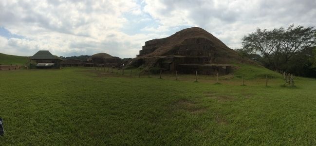
Near San Andrés in San Juan Opico, La Libertad, El Salvador — Central America (West Coast)
Abandonment of the San Andrés Archaeological Site
Inscription.
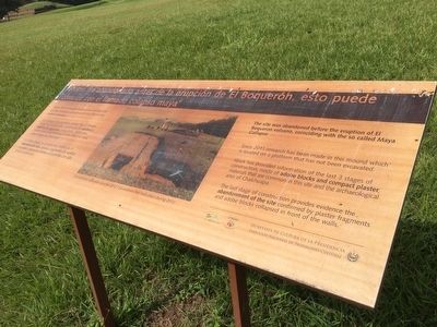
El sitio fue abandonado antes de la erupción de El Boquerón, esto puede coincidir con el llamado colapso maya
Desde 2011 se realizan trabajos de investigación en este montículo ubicado sobre una plataforma aun no excavada.
Los trabajos han permitido conocer las 3 últimas etapas de construcción constituidas de adobes y repellos de argamasa compactada, materiales constructivos característicos de éste sitio y la zona arqueológica de Chalchuapa.
Pie de dibujo: Excavaciones realizadas durante 2012.
The site was abandoned before the eruption of El Boquerón volcano, coinciding with the so called Maya Collapse
Since 2011 research has been made in this mound which is located on a platform that has not been excavated.
Work has provided information of the last 3 stages of construction, made of adobe blocks and compact plaster, materials that are common in this site and the archaeological area of Chalchuapa.
The last stage of construction provides evidence the abandonment of the site confirmed by plaster fragments and adobe blocks collapsed in front of the walls.
Caption: Excavation that took place during 2012.
Erected by Secretaría de Cultura de la Presidencia de El Salvador.
Topics. This historical marker is listed in these topic lists: Anthropology & Archaeology • Man-Made Features. A significant historical year for this entry is 850 CE.
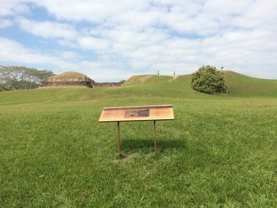
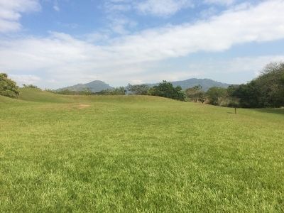
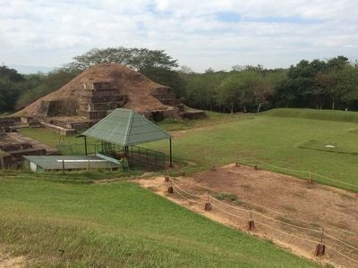
Location. 13° 48.029′ N, 89° 23.306′ W. Marker is near San Andrés, La Libertad, in San Juan Opico. Marker can be reached from Kilómetro 32 Carretera Panamericana. The marker is on the grounds of the San Andrés Archaeological Site, to the east of the Acrópolis on the walkway around the site. Touch for map. Marker is in this post office area: San Andrés, La Libertad 01514, El Salvador. Touch for directions.
Other nearby markers. At least 8 other markers are within 18 kilometers of this marker, measured as the crow flies. San Andrés was an extensive prehispanic settlement (within shouting distance of this marker); San Andrés Archaeological Site (about 90 meters away, measured in a direct line); Structure 7 at San Andrés Archaeological Site (about 120 meters away); Indigo Production at San Andrés (about 240 meters away); Joya de Cerén (approx. 4.6 kilometers away); The San Salvador Volcano Complex (approx. 6.4 kilometers away in San Salvador); El Boqueron National Park (approx. 13.9 kilometers away); Santa Tecla Culture and Arts Center (approx. 17.6 kilometers away). Touch for a list and map of all markers in San Andrés.
Credits. This page was last revised on July 28, 2019. It was originally submitted on February 20, 2016, by J. Makali Bruton of Accra, Ghana. This page has been viewed 371 times since then and 16 times this year. Photos: 1, 2, 3, 4, 5. submitted on February 20, 2016, by J. Makali Bruton of Accra, Ghana.
