Near Newcastle in Young County, Texas — The American South (West South Central)
Military Road (Fort Belknap - San Antonio)
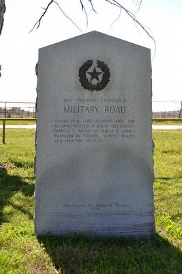
Military Road
Connecting Fort Belknap and San Antonio. Blazed in 1851 by Lieutenant Francis T. Bryan of the U.S. Army. Traveled by troops, supply trains and frontier settlers.
Erected 1936 by State of Texas. (Marker Number 3376.)
Topics and series. This historical marker is listed in these topic lists: Roads & Vehicles • Wars, US Indian. In addition, it is included in the Texas 1936 Centennial Markers and Monuments series list. A significant historical year for this entry is 1851.
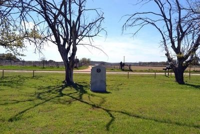
Location. 33° 8.987′ N, 98° 44.479′ W. Marker is near Newcastle, Texas, in Young County. Marker can be reached from Farm to Market Road 61 south of Thompson Road. Marker is located inside Fort Belknap park near the southern wall of the park grounds; the above directions are to the entrance of the park. Touch for map. Marker is in this post office area: Newcastle TX 76372, United States of America. Touch for directions.
Other nearby markers. At least 8 other markers are within walking distance of this marker. Fort Belknap Memorial (about 300 feet away, measured in a direct line); Colonel William C. Young (about 300 feet away); A Military Road (Fort Belknap - Fort Worth) (about 400 feet away); The Butterfield Overland Stages (about 400 feet away); Military Road (Fort Belknap - Fort Phantom Hill) (about 500 feet away); Tonkawa Scouts, C.S.A. (about 600 feet away); Major Robert S. Neighbors (about 600 feet away); Camp Belknap, C.S.A. (about 600 feet away). Touch for a list and map of all markers in Newcastle.
Credits. This page was last revised on June 16, 2016. It was originally submitted on April 2, 2016, by Duane Hall of Abilene, Texas. This page has been viewed 464 times since then and 15 times this year. Photos: 1, 2. submitted on April 2, 2016, by Duane Hall of Abilene, Texas.

