Near Norton in Runnels County, Texas — The American South (West South Central)
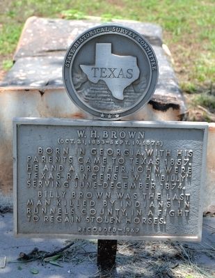
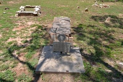
W.H. Brown
(Oct. 21, 1853 - Sept. 19, 1875)
Born in Georgia. With his parents came to Texas 1857. He and a brother, John, were Texas Rangers – W.H. “Billy” serving June-December 1874.
Billy Brown was the last man killed by Indians in Runnels County, in a fight to regain stolen horses.
Erected 1967 by State Historical Survey Committee. (Marker Number 5671.)
Topics. This historical marker is listed in these topic lists: Animals • Law Enforcement • Native Americans • Settlements & Settlers. A significant historical date for this entry is October 21, 1853.
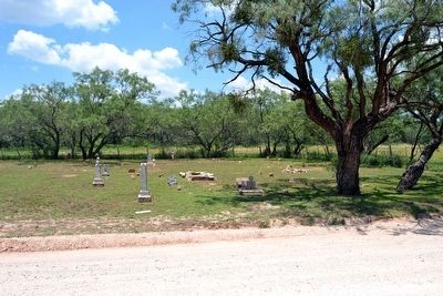
Location. 31° 50.043′ N, 100° 12.425′ W. Marker is near Norton, Texas, in Runnels County. Marker can be reached from County Road 297, 0.3 miles south of State Highway 158, on the right when traveling south. Touch for map. Marker is in this post office area: Norton TX 76865, United States of America. Touch for directions.
Other nearby markers. At least 8 other markers are within 7 miles of this marker, measured as the crow flies. Maverick (approx. 0.4 miles away); Townsite of Marie (approx. 4½ miles away); Town of Norton (approx. 5.4 miles away); Bronte (approx. 6 miles away); First Baptist Church (approx. 6.1 miles away); First Methodist Church (approx. 6.2 miles away); Fort Chadbourne C.S.A. / Texas Civil War Frontier Defense (approx. 6.3 miles away); Bronte Depot (approx. 6.3 miles away). Touch for a list and map of all markers in Norton.
Credits. This page was last revised on November 28, 2020. It was originally submitted on June 19, 2016, by Duane Hall of Abilene, Texas. This page has been viewed 418 times since then and 18 times this year. Photos: 1, 2, 3. submitted on June 19, 2016, by Duane Hall of Abilene, Texas.


