Williamsport in Washington County, Maryland — The American Northeast (Mid-Atlantic)
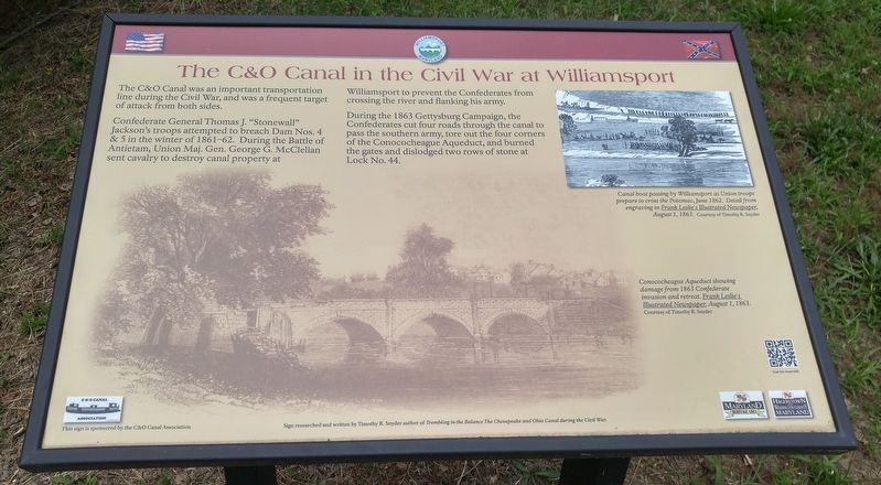
The C&O Canal in the Civil War at Williamsport
Confederate General Thomas J. "Stonewall" Jackson's troops attempted to breat Dam Nos. 4 & 5 in the winter of 1861-62. During the Battle of Antietam, Union Maj. Gen. George G. McClellan sent cavalry to destroy canal property at Williamsport to prevent the Confederates from crossing the river and flanking his army.
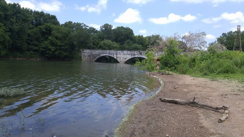
During the 1863 Gettysburg Campaign, the Confederates cut four roads through the canal to pass the southern army, tore out the four corners of the Conococheague Aqueduct, and burned the gates and dislodged two rows of stone at Lock No. 44.
[text with upper right image] Canal boat passing by Williamsport as Union troops prepare to cross the Potomac, June 1862. Detail from engraving in Frank Leslie's Illustrated Newspaper, August 1, 1863.
[text with lower image] Conococheague Aqueduct showing damage from 1863 Confederate invasion and retreat. Frank Leslie's Illustrated Newspaper, August 1, 1863.
Topics. This historical marker is listed in these topic lists: War, US Civil • Waterways & Vessels. A significant historical year for this entry is 1862.
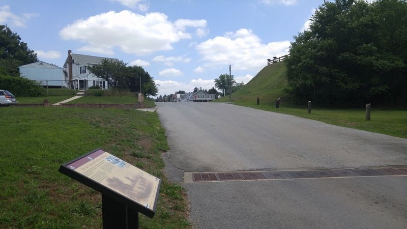
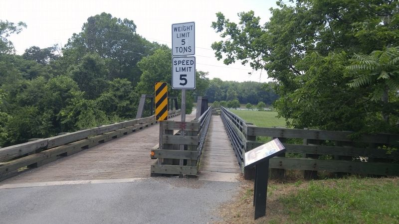
Location. 39° 35.95′ N, 77° 49.567′ W. Marker is in Williamsport , Maryland, in Washington County. Marker is on Salisbury Street, 0 miles west of Commerce Street, on the right when traveling west. Marker is about 250 feet west of the intersection, just before the one-way bridge. Touch for map. Marker is in this post office area: Williamsport MD 21795, United States of America. Touch for directions.
Other nearby markers. At least 8 other markers are within walking distance of this marker. Boats Passing By (within shouting distance of this marker); Doubleday Hill (within shouting distance of this marker); Light's Ford and Lemen's Ferry (within shouting distance of this marker); Abner Doubleday (within shouting distance of this marker); a different marker also named Doubleday Hill (about 300 feet away, measured in a direct line); Welcome to Williamsport (about 500 feet away); The C&O Canal in Williamsport (about 500 feet away); River View Cemetery (about 600 feet away). Touch for a list and map of all markers in Williamsport.
Credits. This page was last revised on July 1, 2016. It was originally submitted on July 1, 2016, by F. Robby of Baltimore, Maryland. This page has been viewed 613 times since then and 41 times this year. Photos: 1, 2, 3, 4, 5, 6. submitted on July 1, 2016, by F. Robby of Baltimore, Maryland.
