Near Belle Plaine in Sumner County, Kansas — The American Midwest (Upper Plains)
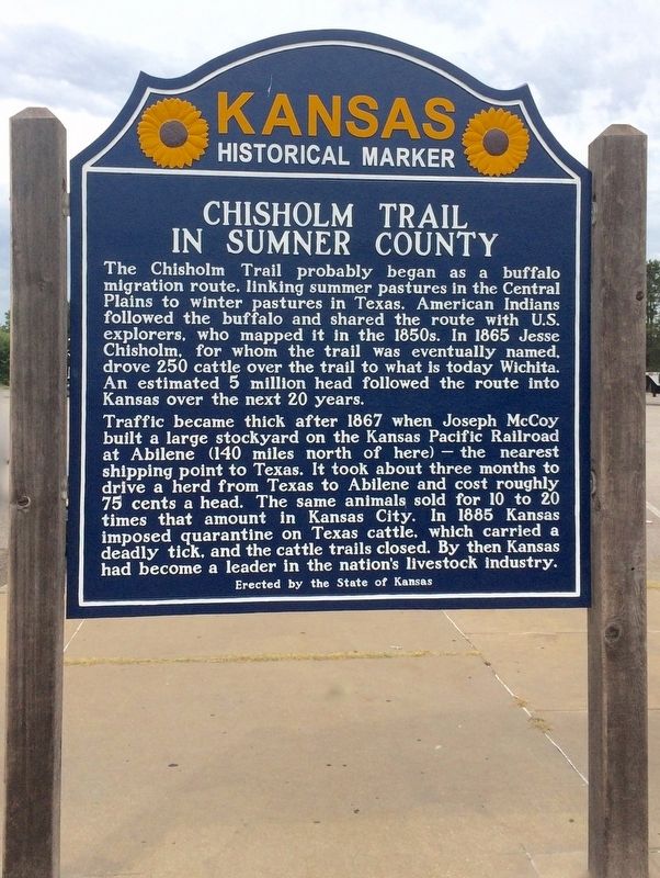
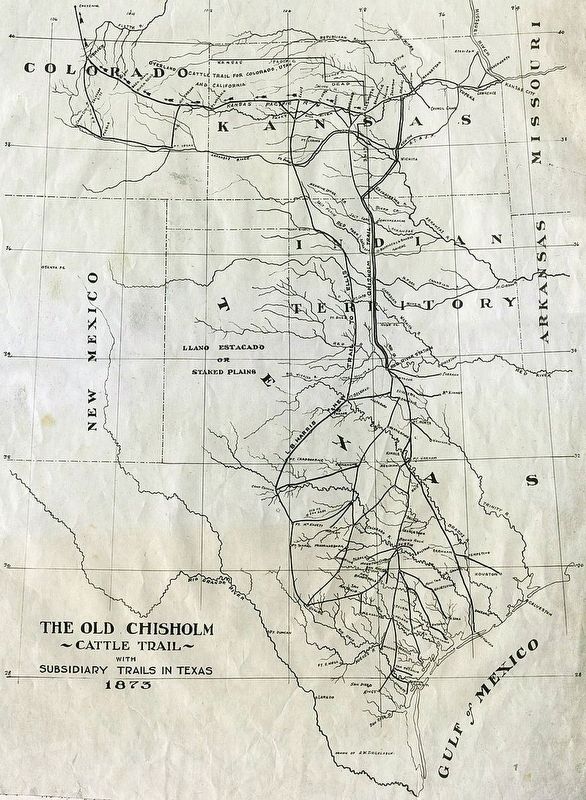
Chisholm Trail in Sumner County
Traffic became thick after 1867 when Joseph McCoy built a large stockyard on the Kansas Pacific Railroad at Abilene (140 miles north of here) — the nearest shipping point to Texas. It took about three months to drive a herd from Texas to Abilene and cost roughly 75 cents a head. The same animals sold for 10 to 20 times that amount in Kansas City. In 1885 Kansas imposed quarantine on Texas cattle, which carried a deadly tick, and the cattle trails closed. By then Kansas had become a leader in the nation’s livestock industry.
Erected 2012 by the State of Kansas. (Marker Number 63.)
Topics and series. This historical marker is listed in these topic lists: Agriculture • Animals • Roads & Vehicles. In addition, it is included in the Kansas Historical Society series list. A significant historical year for this entry is 1865.
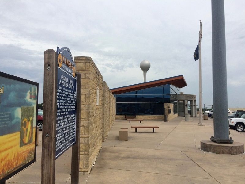
Location. 37° 22.001′ N, 97° 19.348′ W. Marker is near Belle Plaine, Kansas, in Sumner County. Marker can be reached from Interstate 35 at milepost 26, in the median. Located in the Kansas Travel Information Center Rest Area near Belle Plaine Kansas. Touch for map. Marker is at or near this postal address: 770 North I-35, Belle Plaine KS 67013, United States of America. Touch for directions.
Other nearby markers. At least 2 other markers are within 8 miles of this marker, measured as the crow flies. Wheat Capital of the World (here, next to this marker); Bronze Field Guns (approx. 8.1 miles away).
More about this marker. Marker was replaced in 2012.
Previous marker text:
This portion of the plains ~ ~ Indian country until about 1870 ~ ~ is a center of Kansas agriculture and industry. Over the Chisholm trail, which ran a few miles west and roughly parallel to this Turnpike from the Oklahoma line to Wichita, a million head of Texas cattle were herded to Kansas railheads from 1867 to 1876. Caldwell, 37 miles southwest, rivaled Dodge City in cattle shipments and gun fights after the railroad reached there in 1880.
Oklahoma “Boomers” camped in and around Wellington just before central Oklahoma was opened for white settlement in 1889. Again in 1893 when the Cherokee Outlet was opened, thousands waited
near Arkansas City, South Haven, Hunnewell, and Caldwell for the shot that sent them spilling into the promised land.
Wellington is the seat of Sumner county, normally the banner wheat producer of Kansas. Winfield, 28 miles southeast, is a gateway to the great Bluestem pastures. North is Wichita ~ ~ Kansas’ largest city and “air capital of the world.”
Erected by the Kansas Historical Society and Kansas Turnpike Authority
Related markers. Click here for a list of markers that are related to this marker.
Credits. This page was last revised on April 8, 2024. It was originally submitted on August 2, 2016, by Mark Hilton of Montgomery, Alabama. This page has been viewed 656 times since then and 67 times this year. Photos: 1, 2, 3. submitted on August 2, 2016, by Mark Hilton of Montgomery, Alabama.


