Cave City in Barren County, Kentucky — The American South (East South Central)
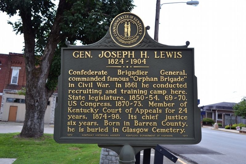
Gen. Joseph H. Lewis
1824 - 1904
Erected 1970 by Kentucky Historical Society and Kentucky Department of Highways. (Marker Number 1317.)
Topics and series. This historical marker is listed in these topic lists: Cemeteries & Burial Sites • Civil Rights • Settlements & Settlers. In addition, it is included in the Kentucky Historical Society series list. A significant historical year for this entry is 1824.
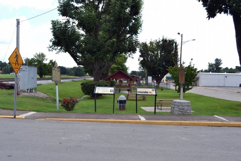
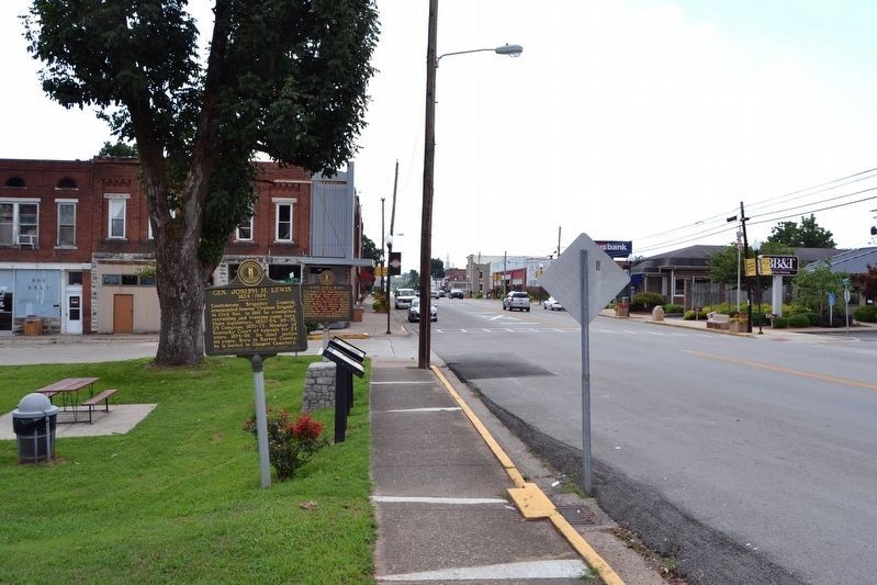
Location. 37° 8.332′ N, 85° 57.564′ W. Marker is in Cave City, Kentucky, in Barren County. Marker is at the intersection of W. Broadway Street (State Highway 70) and N. 1st Street, on the right when traveling west on W. Broadway Street. Marker is located at the southwest end of Roy Dickey Reynolds Park. Touch for map. Marker is in this post office area: Cave City KY 42127, United States of America. Touch for directions.
Other nearby markers. At least 8 other markers are within 6 miles of this marker, measured as the crow flies. General Joseph H. Lewis (here, next to this marker); Morgan's Cave City Raid (here, next to this marker); Cave City Raid (a few steps from this marker); Lt. Charles Moran - USAF (approx. 4 miles away); Unknown Confederate Soldier Monument (approx. 4.2 miles away); Sand Cave (approx. 4.7 miles away); Kentucky Caverns (approx. 4.8 miles away); Lt. Gov. James G. Hardy (approx. 5.8 miles away). Touch for a list and map of all markers in Cave City.
Credits. This page was last revised on June 3, 2021. It was originally submitted on August 11, 2016, by Duane Hall of Abilene, Texas. This page has been viewed 439 times since then and 26 times this year. Photos: 1. submitted on August 11, 2016, by Duane Hall of Abilene, Texas. 2. submitted on August 10, 2016, by Duane Hall of Abilene, Texas. 3, 4. submitted on August 11, 2016, by Duane Hall of Abilene, Texas.


