Berea in Madison County, Kentucky — The American South (East South Central)
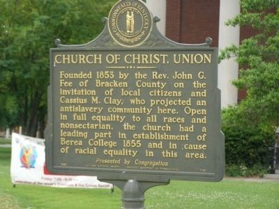
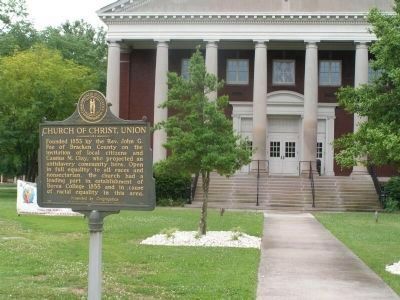
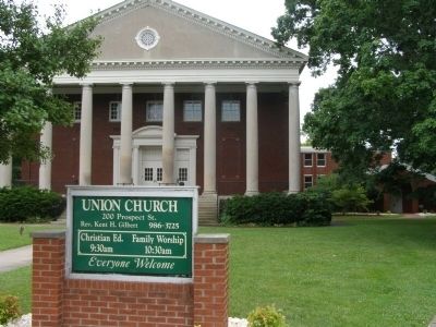
Church of Christ, Union
Erected 1983 by Kentucky Historical Society. (Marker Number 1767.)
Topics and series. This historical marker is listed in these topic lists: Abolition & Underground RR • Churches & Religion • Civil Rights • Education. In addition, it is included in the Kentucky Historical Society series list. A significant historical year for this entry is 1853.
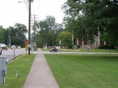
Location. 37° 34.294′ N, 84° 17.325′ W. Marker is in Berea, Kentucky, in Madison County. Marker is at the intersection of Main Street S and Prospect Street (Kentucky Route 21) on Main Street S. Touch for map. Marker is in this post office area: Berea KY 40403, United States of America. Touch for directions.
Other nearby markers. At least 8 other markers are within 5 miles of this marker, measured as the crow flies. The Battle of Richmond Knocked at Berea's Door (approx. half a mile away); Kentucky's Earliest Artforms (approx. 2.1 miles away); Berea – A Birthplace of the Handicraft Revival (approx. 2.1 miles away); Site of Starns' Defeat (approx. 4.4 miles away); Encampment at Bobtown / Engagment at Bobtown / Advance to Kingston (approx. 4˝ miles away); Civil War Action (approx. 4.6 miles away); Merritt Jones / Wayside Tavern / Jones Tavern / CSA Cemetery (approx. 4.7 miles away); Confederate Cemetery (approx. 4.9 miles away). Touch for a list and map of all markers in Berea.
Credits. This page was last revised on April 10, 2021. It was originally submitted on July 30, 2008, by Christopher Light of Valparaiso, Indiana. This page has been viewed 1,468 times since then and 35 times this year. Photos: 1, 2, 3, 4. submitted on July 30, 2008, by Christopher Light of Valparaiso, Indiana. • Kevin W. was the editor who published this page.


