Near Valley Springs in Minnehaha County, South Dakota — The American Midwest (Upper Plains)
Minnehaha County
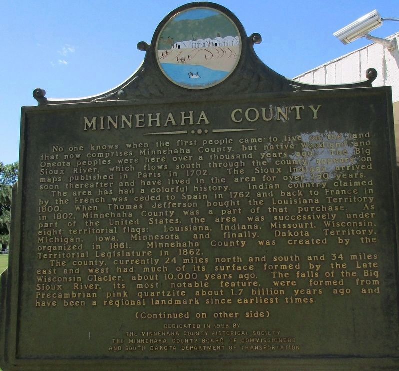
No one knows when the first people came to live on the land that now comprises Minnehaha County, but native Woodland and Oneota peoples were here over 1000 years ago. The Big Sioux River which flows south through the county, appears on maps in Paris in 1702. The Sioux Indians arrived soon thereafter and have lived in the area for over 250 years.
The area has had a colorful history. Indian country claimed by the French was ceded to Spain in 1762 and back to France in 1800. When Thomas Jefferson bought the Louisiana Territory in 1892, Minnehaha County was part of that purchase. As part of the United States, the area was successively under eight territorial flags: Louisiana, Indiana, Missouri, Wisconsin, Michigan, Iowa, Minnesota and finally Dakota Territory, organized in 1861. Minnehaha County was created by the Territorial Legislature in 1862.
The county, currently 24 miles north and south by 34 miles east & west had much of its surface formed by the Late Wisconsin Glacier, about 10,000 years ago. The falls of the Big Sioux River, its most notable feature, were formed from the Precambrian pink quartzite about 1.7 billion years ago and have been a regional landmark since earliest times.
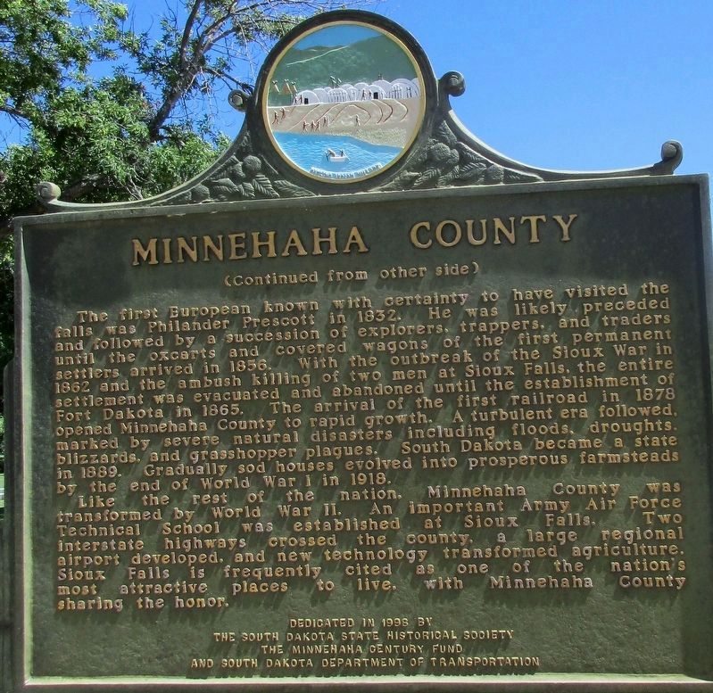
The first European known with certainty to have visited the falls was Philander Prescott in 1832. He was likely preceded and followed by a succession of explorers, trappers and traders until the oxcarts & covered wagons of the first permanent settlers arrived in 1856. The arrival of the first railroad in 1878 opened Minnehaha County to rapid growth. A turbulent era followed, marked by severe natural disasters, including floods, droughts, blizzards, and grasshopper plagues. South Dakota became a state in 1889. Gradually sod homes evolved into prosperous farmsteads by the end of World War I in 1918.
Like the rest of the nation, Minnehaha County was transformed by World War II. An important Army Air Force Technical School was established at Sioux Falls. Two interstate highways crossed the county, a large regional airport developed, and new technology transformed agriculture. Sioux Falls is frequently cited as one of the nation’s most attractive places to live, with Minnehaha County sharing the honors.
Erected 1998 by The South Dakota Historical Society The Minnehaha Century Fund and South Dakota Department of Transportation. (Marker Number 687.)
Topics and series. This historical marker is listed in these topic lists: Agriculture • Native Americans • Railroads & Streetcars • Settlements & Settlers. In addition, it is included in the South Dakota State Historical Society Markers series list.
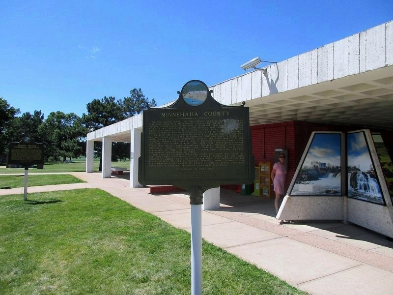
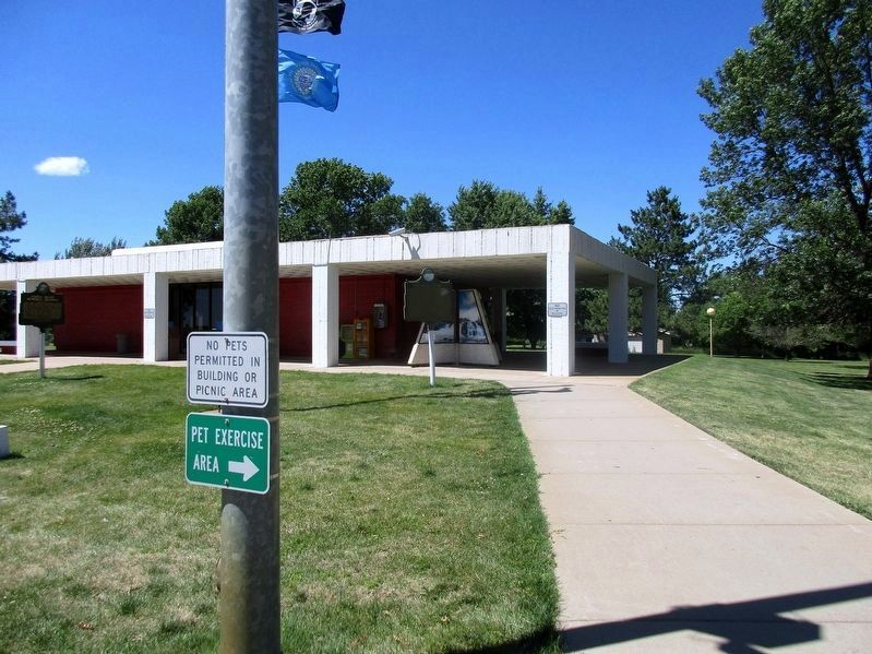
Location. 43° 36.612′ N, 96° 27.68′ W. Marker is near Valley Springs, South Dakota, in Minnehaha County. Marker is on Interstate 90, on the right when traveling west. The marker stands at the Valley Springs Information Center near the Minnesota / South Dakota state line. Touch for map. Marker is in this post office area: Valley Springs SD 57068, United States of America. Touch for directions.
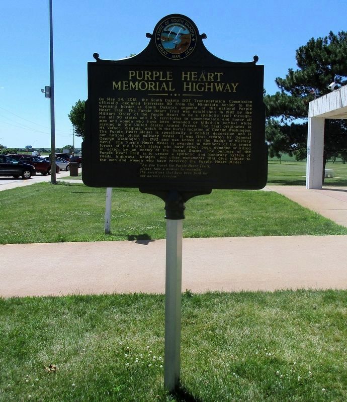
Other nearby markers. At least 8 other markers are within 6 miles of this marker, measured as the crow flies. Valley Springs Rest Area (a few steps from this marker); Purple Heart Memorial Highway (a few steps from this marker); The Town of Valley Springs (approx. 1.6 miles away); Valley Springs (approx. 1.9 miles away); Nels Nelson Graff Cabin (approx. 5.3 miles away); Fur Trapper Ambush (approx. 5.6 miles away); McHardy Park (approx. 5.6 miles away); Split Rock Creek Tragedy (approx. 5.6 miles away). Touch for a list and map of all markers in Valley Springs.
Credits. This page was last revised on August 7, 2021. It was originally submitted on September 1, 2016, by Rev. Ronald Irick of West Liberty, Ohio. This page has been viewed 550 times since then and 43 times this year. Last updated on August 7, 2021. Photos: 1, 2, 3, 4, 5. submitted on September 1, 2016, by Rev. Ronald Irick of West Liberty, Ohio. • Devry Becker Jones was the editor who published this page.
