Near Thermopolis in Hot Springs County, Wyoming — The American West (Mountains)
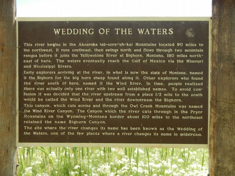
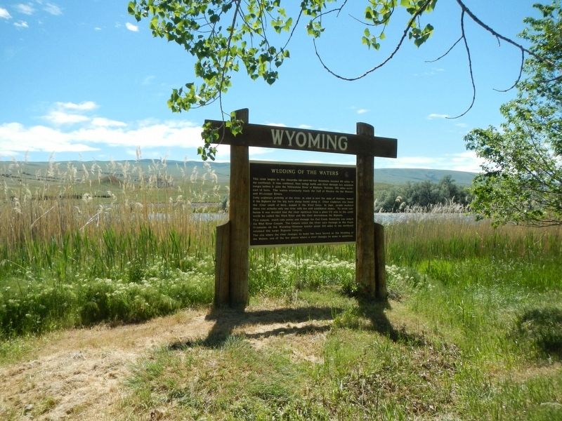
Wedding of the Waters
Early explorers arriving at the river, in what is now the state of Montana, named it the Bighorn for the big horn sheep found along it. Other explorers who found the river south of here, named it the Wind River. In time, people realized there was actually only one river with two well established names. To avoid confusion it was decided that the river upstream from a place 1/2 mile to the south would be called the Wind River and the river downstream the Bighorn.
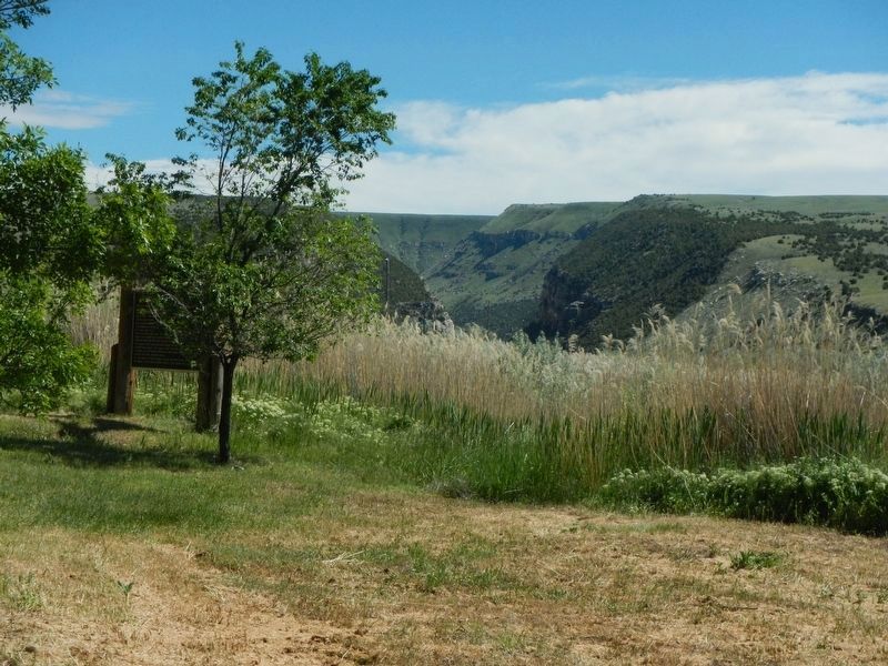
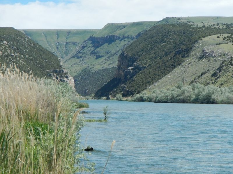
This canyon, which cuts across and through the Owl Creek Mountains was named the Wind River Canyon. The Canyon which the river cuts through in the Pryor Mountains on the Wyoming - Montana border about 100 miles to the northeast retained the name Bighorn Canyon.
The site where the river changes its name has been known as the Wedding of the Waters, one of the few places where a river changes its name in midstream.
Erected by Wyoming State Historic Preservation Office.
Topics. This historical marker is listed in this topic list: Natural Features.
Location. 43° 35.322′ N, 108° 12.882′ W. Marker is near Thermopolis, Wyoming, in Hot Springs County. Marker is on U.S. 20 near South Yellowstone Road (Wyoming Highway 173). Touch for map. Marker is at or near this postal address: 392 US Highway 20, Thermopolis WY 82443, United States of America. Touch for directions.
Other nearby markers. At least 8 other markers are within 5 miles of this marker, measured as the crow flies. A different marker also named Wedding of the Waters (within shouting distance of this marker); Thermopolis Downtown Historic District (approx. 4 miles away); Broad Streets of Thermopiles (approx. 4 miles away); World's Largest Mineral Hot Springs (approx. 4 miles away); The Plaza Hotel (approx. 4.3 miles away); Bah Guewana (approx. 4.4 miles away); Walter Manly Haynes (approx. 4.4 miles away); Tepee Fountain (approx. 4.4 miles away). Touch for a list and map of all markers in Thermopolis.
More about this marker. This marker is located at boat ramp and interpretive exhibit to the west of Highway 20.
Credits. This page was last revised on July 25, 2018. It was originally submitted on September 10, 2016, by Barry Swackhamer of Brentwood, California. This page has been viewed 542 times since then and 46 times this year. Photos: 1, 2, 3, 4. submitted on September 10, 2016, by Barry Swackhamer of Brentwood, California.


