Macon in Bibb County, Georgia — The American South (South Atlantic)
The Dunlap House
Ocmulgee National Monument
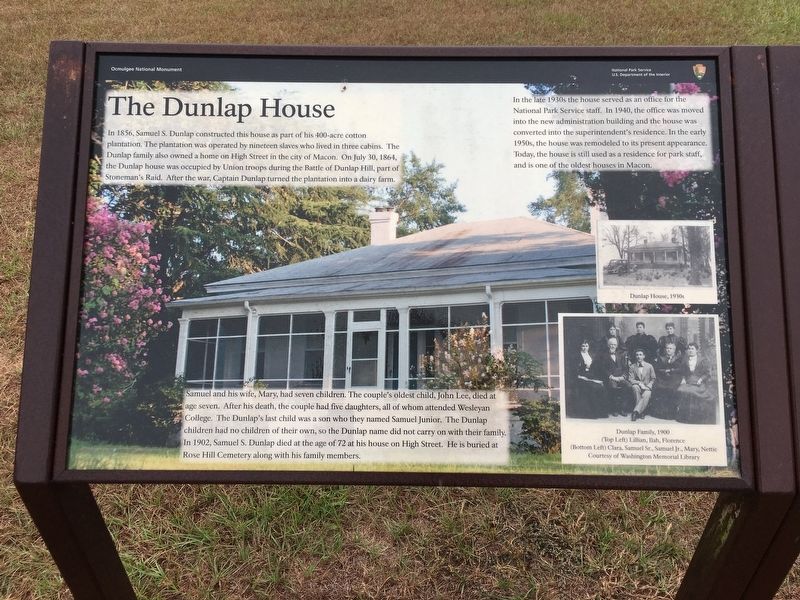
In 1856, Samuel S. Dunlap constructed this house as part of his 400-acre cotton plantation. The plantation was operated by nineteen slaves who lived in three cabins. The Dunlap family also owned a home on High Street in the city of Macon. On July 30, 1864, the Dunlap house was occupied by Union troops during the Battle of Dunlap Hill, part of Stonemanís Raid. After the war, Captain Dunlap turned the plantation into a dairy farm.
Samuel and his wife, Mary, had seven children. The coupleís oldest child, John Lee, died at age seven. After his death, the couple had five daughters, all of whom attended Wesleyan College. The Dunlapís last child was a son who they named Samuel Junior. The Dunlap children had no children of their own, so the Dunlap name did not carry on with their family. In 1902, Samuel S. Dunlap died at the age of 72 at his house on High Street. He is buried at Rose Hill Cemetery along with his family members.
In the late 1930ís the house served as an office for the National Park Service staff. In 1940, the office was moved into the new administration building and the house was converted into the Superintendentís residence. In the early 1950ís the house was remodeled to its present appearance. Today, the house is still used as residence for park staff, and is one of the oldest houses in Macon.
Erected 2013 by National Park Service, U.S. Department of the Interior.
Topics. This historical marker is listed in these topic lists: Agriculture • War, US Civil. A significant historical year for this entry is 1856.
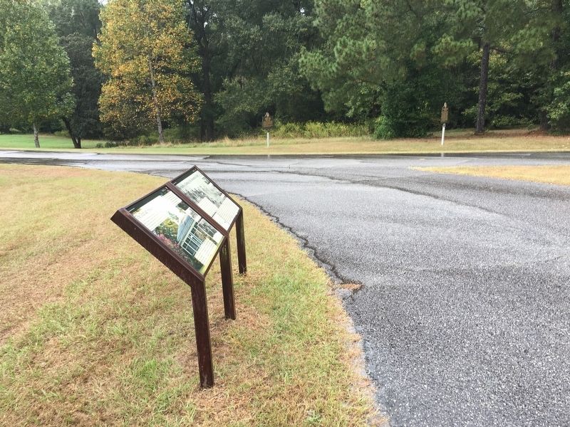
Location. 32° 50.482′ N, 83° 36.127′ W. Marker is in Macon, Georgia, in Bibb County. Marker is on Ocmulgee National Park Road, 0.2 miles south of Emery Highway (U.S. 23/80), on the left when traveling south. The marker is located on the grounds of Ocmulgee National Monument Park. Touch for map. Marker is at or near this postal address: 1207 Emery Hwy, Macon GA 31217, United States of America. Touch for directions.
Other nearby markers. At least 8 other markers are within walking distance of this marker. The Battle of Dunlap Hill-Stoneman's Raid (here, next to this marker); William Bartram Trail (about 400 feet away, measured in a direct line); Ocmulgee National Monument (about 600 feet away); Yaupon Holly (about 600 feet away); 17,000 Years of Continuous Human Habitation (about 700 feet away); The Civilian Conservation Corps (CCC) 1933-1942 (about 700 feet away); Battles of Dunlap Farm (about 700 feet away); Railroad Overpass (about 700 feet away). Touch for a list and map of all markers in Macon.
Regarding The Dunlap House. These markers were dedicated in the spring of 2013. At the same time two Georgia metal roadside markers were relocated
from outside the park to within 75 feet of these National Park Service markers. (The Dunlap House 011-3 and Battles of Dunlap Farm 011-5).
Credits. This page was last revised on April 6, 2024. It was originally submitted on October 12, 2016, by Brandon D Cross of Flagler Beach, Florida. This page has been viewed 810 times since then and 66 times this year. Photos: 1, 2. submitted on October 12, 2016, by Brandon D Cross of Flagler Beach, Florida. • Bernard Fisher was the editor who published this page.

