Hedgesville in Berkeley County, West Virginia — The American South (Appalachia)
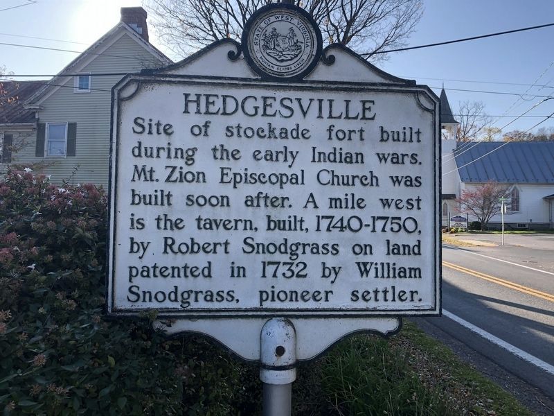
Hedgesville
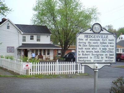
Site of stockade fort built during the early Indian wars. Mt. Zion Episcopal Church was built soon after. A mile west is the tavern, built, 1740–1750, by Robert Snodgrass on land patented in 1732 by William Snodgrass, pioneer settler.
Topics and series. This historical marker is listed in these topic lists: Churches & Religion • Colonial Era • Settlements & Settlers • Wars, US Indian. In addition, it is included in the West Virginia Archives and History series list. A significant historical year for this entry is 1750.
Location. 39° 33.167′ N, 77° 59.633′ W. Marker is in Hedgesville, West Virginia, in Berkeley County. Marker is on Hedgesville Road (West Virginia Route 9) near Mt. Zion Street, on the right. Touch for map. Marker is in this post office area: Hedgesville WV 25427, United States of America. Touch for directions.
Other nearby markers. At least 5 other markers are within walking distance of this marker. 201 East Main Street (a few steps from this marker); 108 East Main Street (within shouting distance of this marker); Mt. Zion Episcopal Church (within shouting distance of this marker); 106 East Main Street (within shouting distance of this marker); 104 East Main Street (about 300 feet away, measured in a direct line). Touch for a list and map of all markers in Hedgesville.
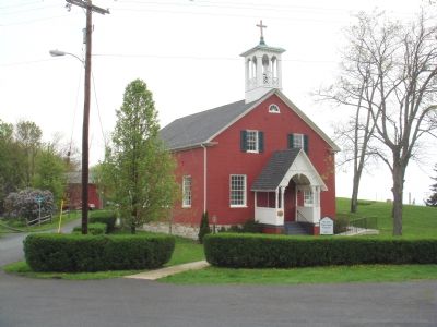
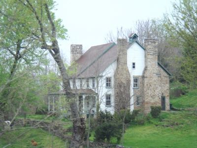
Regarding Hedgesville. The church is right here, at the marker. Snodgrass Tavern is no longer a tavern and is private property. George Washington stayed there during his travels west. Portions of the building date to the 1740s. It is 1˝ miles west of the marker, on the right.
Also see . . . Hedgesville, West Virginia. Wikipedia entry (Submitted on June 6, 2022, by Larry Gertner of New York, New York.)
Credits. This page was last revised on June 6, 2022. It was originally submitted on May 3, 2007, by J. J. Prats of Powell, Ohio. This page has been viewed 2,996 times since then and 48 times this year. Photos: 1. submitted on November 6, 2020, by Devry Becker Jones of Washington, District of Columbia. 2, 3, 4, 5. submitted on May 3, 2007, by J. J. Prats of Powell, Ohio.


