Lake Shore - Lake Vista in New Orleans in Orleans Parish, Louisiana — The American South (West South Central)
Lake Pontchartrain
English:
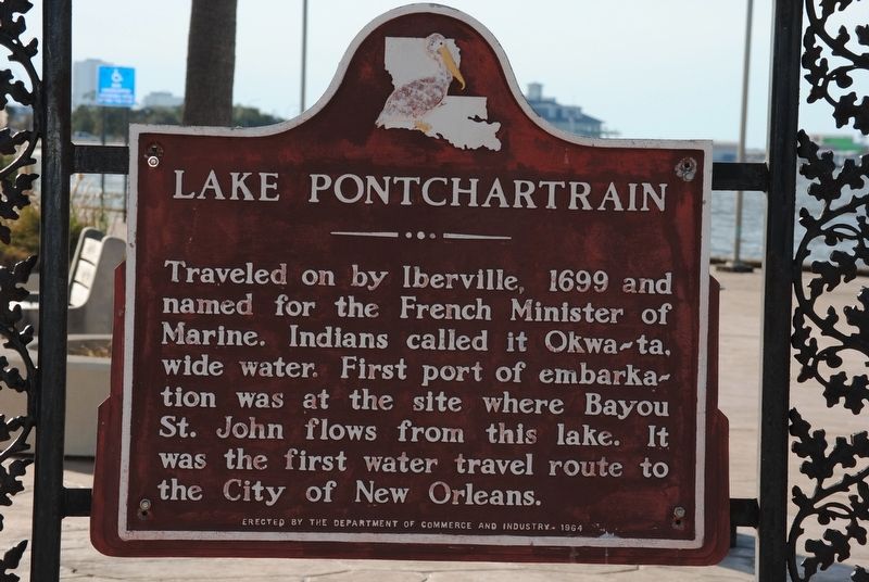
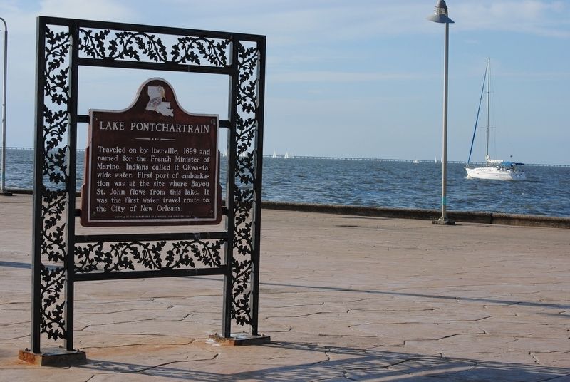
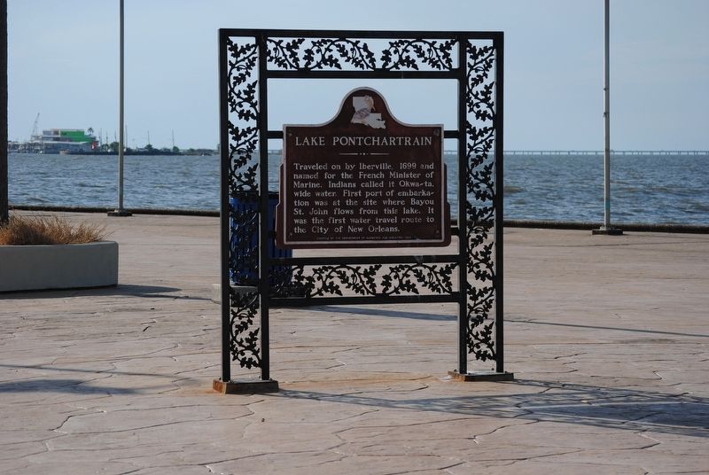
Traveled on by Iberville, 1699 and named for French Minister of Marine. Indians called it Okwa-ta, wide water. First port of embarkation was at the site where Bayou St. John flows from this lake. It was first water travel route to the City of New Orleans.
French:
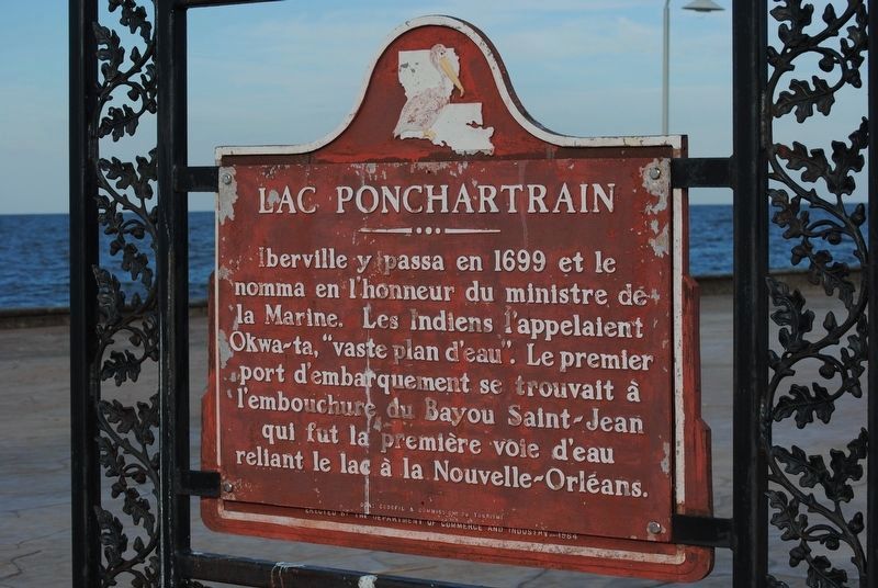
Lac Pontchartrain
Iberville y passa en 1699 et la nomma en l'honneur du ministre de la Marine. Les Indiens l'appelalent Okwa-ta, "vaste plan d'eau". Le premier port d'embarquement se trouvait à l'embouchure du Bayou Saint-Jean qui fut la première voie d'eau reliant le lac à la Nouvelle-Orléans.
Erected 1964 by The Department of Commerce and Industry.
Topics. This historical marker is listed in these topic lists: Exploration • Native Americans • Waterways & Vessels.
Location. 30° 1.699′ N, 90° 6.091′ W. Marker is in New Orleans, Louisiana, in Orleans Parish. It is in Lake Shore - Lake Vista. Marker is on Lakeshore Drive, 0.2 miles east of Canal Boulevard, on the left when traveling east. Touch for map. Marker is in this post office area: New Orleans LA 70124, United States of America. Touch for directions.
Other nearby markers. At least 8 other markers are within 3 miles of this marker, measured as the crow flies. Lakefront "Seawall" (approx. 0.7 miles away); Lake Pontchartrain and the Pontchartrain Basin (approx. 0.7 miles away); New Basin Canal (approx. 0.7 miles away); The Point (approx. 0.7 miles away); Southern Yacht Club (approx. 0.7 miles away); Fort St. John (approx. 1.1 miles away); 17th Street Canal Floodwall (approx. 1.4 miles away); London Avenue Canal Floodwall Breach (approx. 2.4 miles away). Touch for a list and map of all markers in New Orleans.
Credits. This page was last revised on February 12, 2023. It was originally submitted on November 9, 2016, by Cajun Scrambler of Assumption, Louisiana. This page has been viewed 678 times since then and 34 times this year. Photos: 1, 2, 3, 4. submitted on November 9, 2016.


