Near Manassas in Prince William County, Virginia — The American South (Mid-Atlantic)
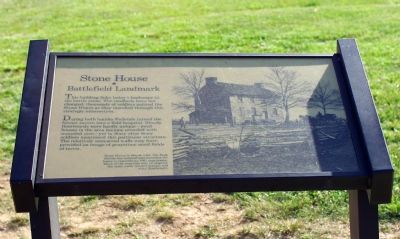
Stone House
Battlefield Landmark
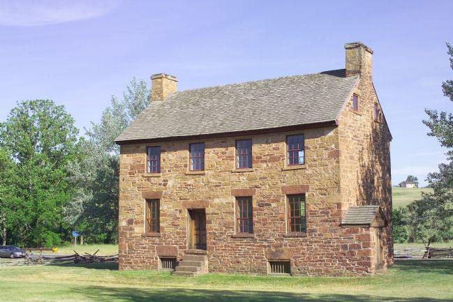
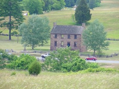
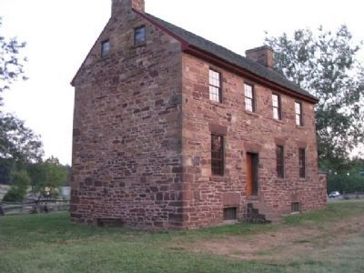
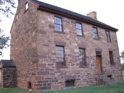
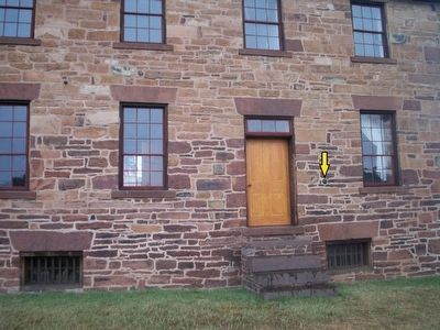
This building links today’s landscape to the battlefield scene. The roadbeds have not changed; thousands of soldiers noticed the Stone House as they marched through this strategic intersection.
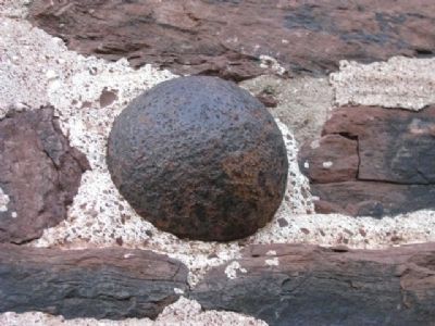
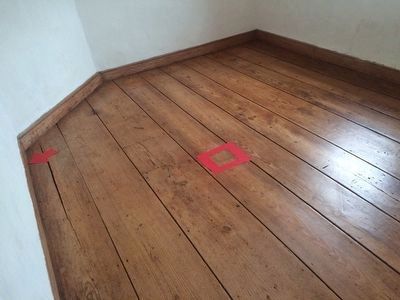
During both battles Federals turned the former tavern into a field hospital. Bloody floorboards were hardly unique—most houses in the area became crowded with wounded men—yet in diary after diary soldiers mentioned this particular structure. The relatively unscarred walls may have provided an image of peacetime amid fields of terror.
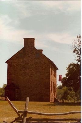
(Photo Caption) Stone House in March 1862. The Park Service has restored and furnished the house to resemble its 1861 appearance. Much of the structure may be original: the stone walls, window frames, and some floorboards.
Erected by National Park Service, U.S. Department of the Interior.
Topics and series. This historical marker is listed in this topic list: War, US Civil. In addition, it is included in the Northern Virginia Civil War Graffiti Trail series list. A significant historical month for this entry is March 1862.
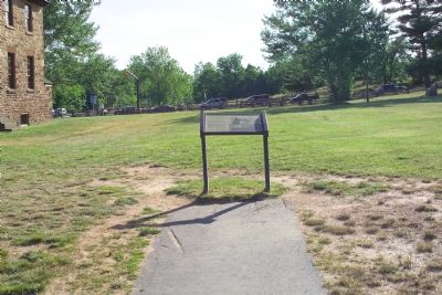
Location. This marker has been replaced by another marker nearby. It was located near 38° 49.14′ N, 77° 31.555′ W. Marker was near Manassas, Virginia, in Prince William County. Marker could be reached from the intersection of Lee Highway (U.S. 29) and Sudley Road (Virginia Route 234), on the right when traveling west. It is in the Manassas National Battlefield Park. There is a fee per person per day to enter the park. Touch for map. Marker was at or near this postal address: 12521 Lee Hwy, Manassas VA 20109, United States of America. Touch for directions.
Other nearby markers. At least 10 other markers are within walking distance of this location. Stone House: Witness to War (here, next to this marker); a different marker also named Stone House (within shouting distance of this marker); Battlefield of Bull Run or First Manassas (within shouting distance of this marker); First Battle of Manassas (about 300 feet away, measured in a direct line); Henry House (about 300 feet away); a different marker also named First Battle of Manassas (about 300 feet away); Visions of Victory (about 400 feet away); Pope's Headquarters (about 500 feet away); James Robinson House (approx. 0.2 miles away); Flight from Matthews Hill (approx. ¼ mile away). Touch for a list and map of all markers in Manassas.
Related marker.
Click here for another marker that is related to this marker. This marker has been replaced by the linked marker.
Credits. This page was last revised on July 8, 2020. It was originally submitted on February 5, 2007, by Tom Fuchs of Greenbelt, Maryland. This page has been viewed 2,898 times since then and 25 times this year. Photos: 1, 2, 3. submitted on February 5, 2007, by Tom Fuchs of Greenbelt, Maryland. 4. submitted on February 27, 2007, by J. J. Prats of Powell, Ohio. 5, 6, 7, 8. submitted on July 22, 2012, by Denise Boose of Tehachapi, California. 9. submitted on August 15, 2015, by Brandon Fletcher of Chattanooga, Tennessee. 10. submitted on September 11, 2015, by J. Makali Bruton of Accra, Ghana. 11, 12. submitted on November 22, 2008, by Mike Stroud of Bluffton, South Carolina. • J. J. Prats was the editor who published this page.
