Pierceville in Ripley County, Indiana — The American Midwest (Great Lakes)
Union Noose Tightening
John Hunt Morgan Heritage Trail
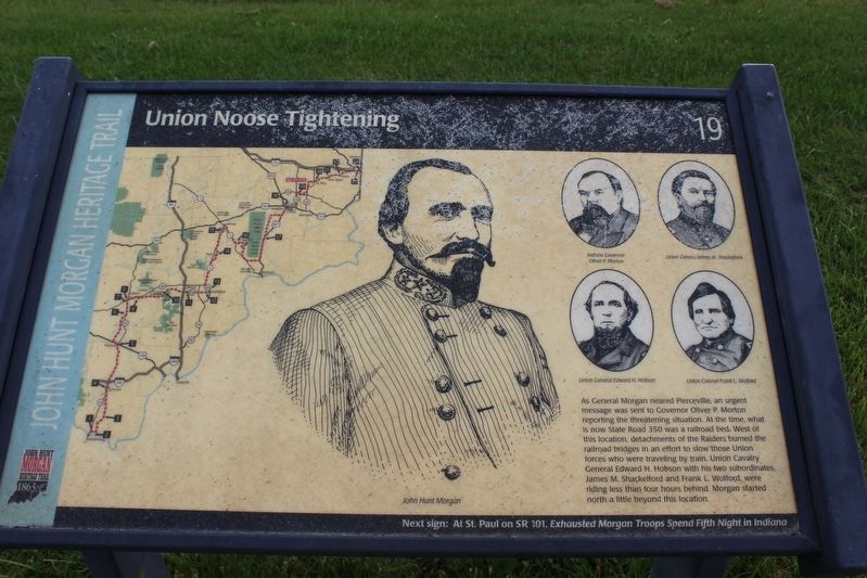
Photographed by Tom Bosse, October 14, 2016
1. Union Noose Tightening Marker
Erected by Historic Hoosier Hills RC&D. (Marker Number 19.)
Topics and series. This historical marker is listed in this topic list: War, US Civil. In addition, it is included in the John Hunt Morgan Heritage Trail in Indiana series list. A significant historical month for this entry is July 1863.
Location. 39° 8.095′ N, 85° 10.684′ W. Marker is in Pierceville, Indiana, in Ripley County. It is at the intersection of West Indian Trail (State Road 350) and County Road 450E, on the left when traveling east on West Indian Trail. Marker is located in front of Post Office. Touch for map. Marker is at or near
this page online

Regionally, this marker is in Southern Indiana. It is also in the American Midwest and in the Corn Belt. Globally, it is in North America, the Western Hemisphere, the Western World, and the Anglosphere. Historically, it finds itself in what was once the territory of the Mississippian Culture and also the Northwest Territory.
Other nearby markers. At least 8 other markers are within 6 miles of this marker, measured as the crow flies: General John Morgan (approx. 0.4 miles away); Milan Miracle (approx. 2.6 miles away); Moores Hill College (approx. 4.8 miles away); Moore Hall (approx. 4.8 miles away); Moore's Hill United Methodist Church (approx. 5.1 miles away); Gordons Leap (approx. 5.7 miles away); Bilby Steel Tower (approx. 5.7 miles away); The Hanging Tree (approx. 5.7 miles away).
Another marker is no longer nearby. Whitlatch Clinic (was approx. 2½ miles away but has been confirmed missing).
Photographed by Tom Bosse, October 14, 2016
2. John Hunt Morgan Heritage Trail
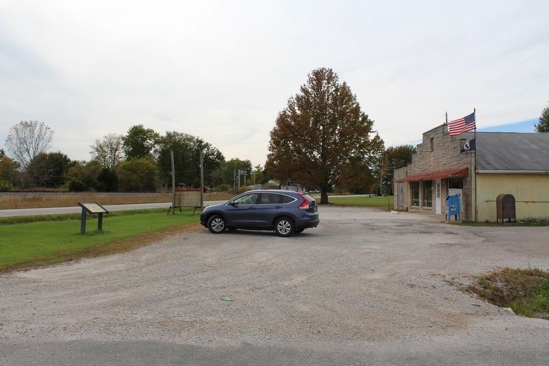
Photographed by Tom Bosse, October 14, 2016
3. Union Noose Tightening Marker
Photographed by Tom Bosse
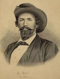
4. Gen. John Hunt Morgan
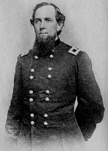
Photographed by Tom Bosse
5. Gen. Edward H. Hobson
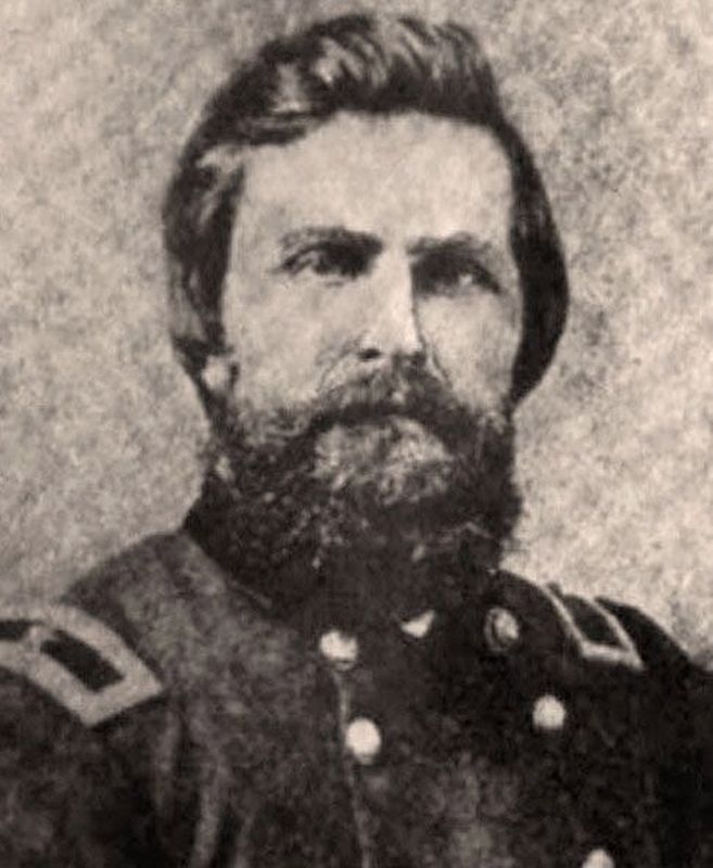
Photographed by Tom Bosse
6. Brig. Gen. James M. Shackelford
Credits. This page was last revised on April 25, 2018. It was originally submitted on November 28, 2016, by Tom Bosse of Jefferson City, Tennessee. This page has been viewed 980 times since then and 90 times this year. Photos: 1, 2, 3, 4, 5, 6. submitted on November 28, 2016, by Tom Bosse of Jefferson City, Tennessee. • Bernard Fisher was the editor who published this page.
