Near West Yellowstone in Gallatin County, Montana — The American West (Mountains)
Southern Gallatin County
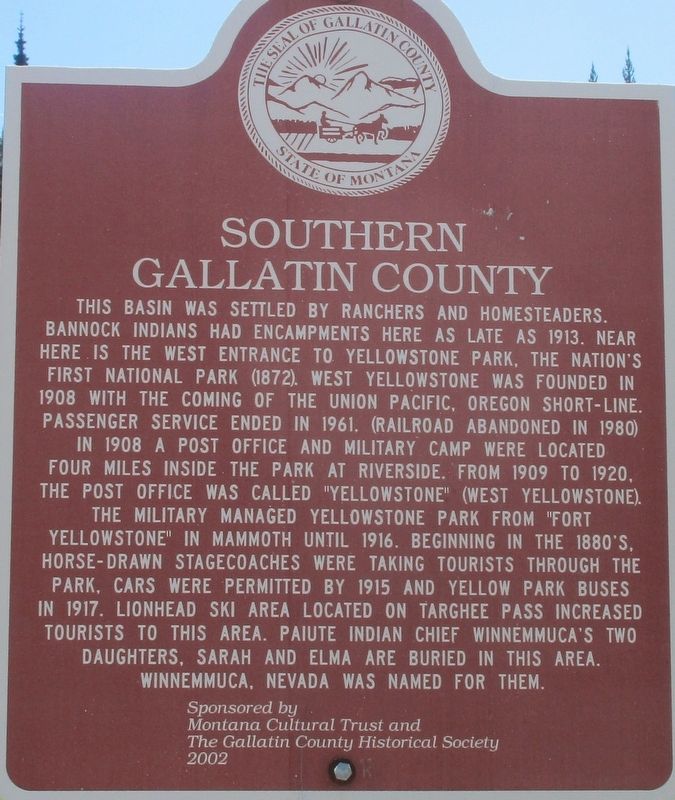
Photographed by Rev. Ronald Irick, July 14, 2016
1. Southern Gallatin County Marker
Erected 2002 by Montana Cultural Trust The Gallatin County Historical Society.
Topics. This historical marker is listed
this page online
Location. 44° 41.109′ N, 111° 15.577′ W. Marker is near West Yellowstone, Montana, in Gallatin County. It is on Targhee Pass Highway (U.S. 20), on the left when traveling north. Marker is close to the state line. Touch for map. Marker is at or near this postal address: 231 Targhee Pass Highway, West Yellowstone MT 59758, United States of America. Touch for directions.

Regionally, this marker is in Yellowstone Country and in Greater Bozeman. It is also in the American Mountain West and in the Lewis & Clark Corridor. Globally, it is in North America, the Rocky Mountains, the Western Hemisphere, the Western World, and the Anglosphere. Historically, it finds itself in what was once Rupert’s Land and also the Louisiana Purchase.
Other nearby markers. At least 8 other markers are within 8 miles of this marker, measured as the crow flies: Sawtell's Ranch (approx. 7.4 miles away in Idaho); Oregon Short Line 1903 (approx. 7.9 miles away); Union Pacific Dining Hall (approx. 8 miles
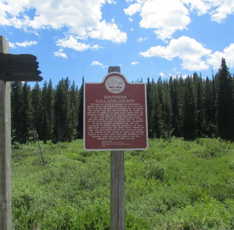
Photographed by Rev. Ronald Irick, July 14, 2016
2. Southern Gallatin County Marker
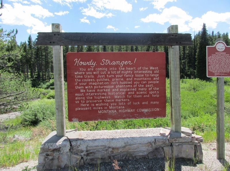
Photographed by Rev. Ronald Irick, July 14, 2016
3. Southern Gallatin County Marker
Two markers, side by side
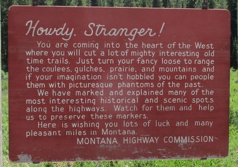
Photographed by Rev. Ronald Irick, July 14, 2016
4. Southern Gallatin County Marker
The second marker, not really "historical" in nature
Credits. This page was last revised on November 29, 2016. It was originally submitted on November 28, 2016, by Rev. Ronald Irick of West Liberty, Ohio. This page has been viewed 733 times since then and 48 times this year. Photos: 1, 2, 3, 4. submitted on November 28, 2016, by Rev. Ronald Irick of West Liberty, Ohio. • Bill Pfingsten was the editor who published this page.
