Key West in Monroe County, Florida — The American South (South Atlantic)
Gunrooms
Fort Jefferson
| — | Dry Tortugas National Park | — |
Photographed by Don Morfe, February 27, 1996
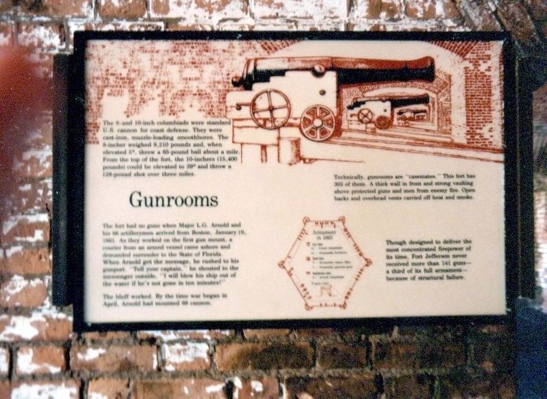
1. Gunrooms Marker
The 8- and 10-inch columbiads were standard U.S. cannon for coast defense. They were cast-iron, muzzle-loading smoothbores. The 8-inch weighed 9,210 pounds and when elevated 4” threw a 65-pound ball about a mile. From the top of the fort, the 10-inchers (15,400 pounds) could be elevated to 39” and throw a 128-pound shell over three miles.
The fort had no guns when Major L.G. Arnold and his 66 artillerymen arrived from Boston, January 19, 1861. As they worked on the first gun mount, a courier from an armed vessel came ashore and demanded surrender to the State of Florida. When Arnold met the messenger, he rushed to his gunport. "Tell your captain," he shouted to the messenger, "I will blow his ship out of the water if he’s not gone in ten minutes!"
The bluff worked. By the time war began in April, Arnold had mounted 68 cannon.
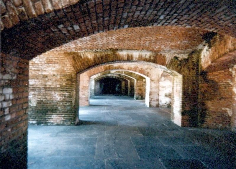
Technically, gunrooms are “casemates.” This fort has 303 of them. A thick wall in front and strong vaulting above protected guns and men from enemy fire. Open backs and overhead vents carried off heat and smoke.
Though designed to deliver the most concentrated firepower
this page online
Erected by National Park Service, U.S. Department of the Interior.
Topics. This historical marker is listed in these topic lists: Forts and Castles • War, US Civil. A significant historical date for this entry is January 19, 1861.
Location. 24° 37.674′ N, 82° 52.368′ W. Marker is in Key West, Florida, in Monroe County. It can be reached from Fort Jefferson - Key West. The marker is located on the grounds of Fort Jefferson, Dry Tortugas National Park. Touch for map. Marker is in this post office area: Key West FL 33040, United States of America. Touch for directions.

Regionally, this marker is on the Florida Keys. It is also in the American South and on the Gulf Coast. Globally, it is in the North Atlantic Region, North America, a Gulf of Mexico state, the Western Hemisphere, the Western World, and the Anglosphere. Historically, it finds itself in what was once New Spain, the territory of the Mississippian Culture, one of the Confederate States of America, and the Antebellum South.
Other nearby markers. At
Photographed by Don Morfe, February 27, 1996
2. Gunrooms-Casemates
Also see . . . Dry Tortugas National Park. National Park Service (Submitted on December 7, 2016.)
Photographed by Don Morfe, February 27, 1996
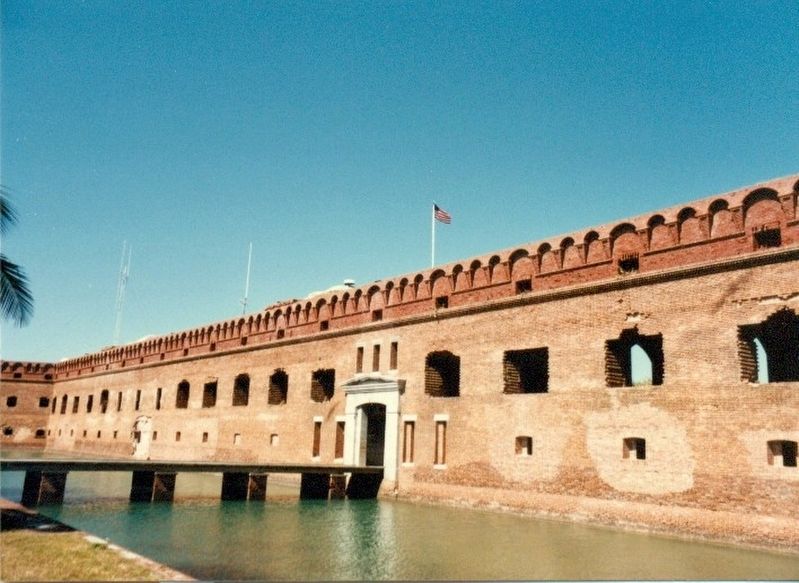
3. Entrance to Fort Jefferson
Photographed by Don Morfe, February 27, 1996
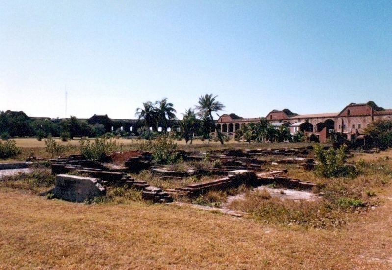
4. Inside Fort Jefferson
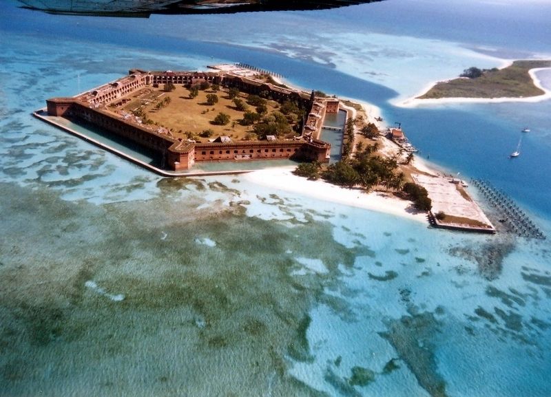
Photographed by Don Morfe, February 27, 1996
5. Fort Jefferson from the air
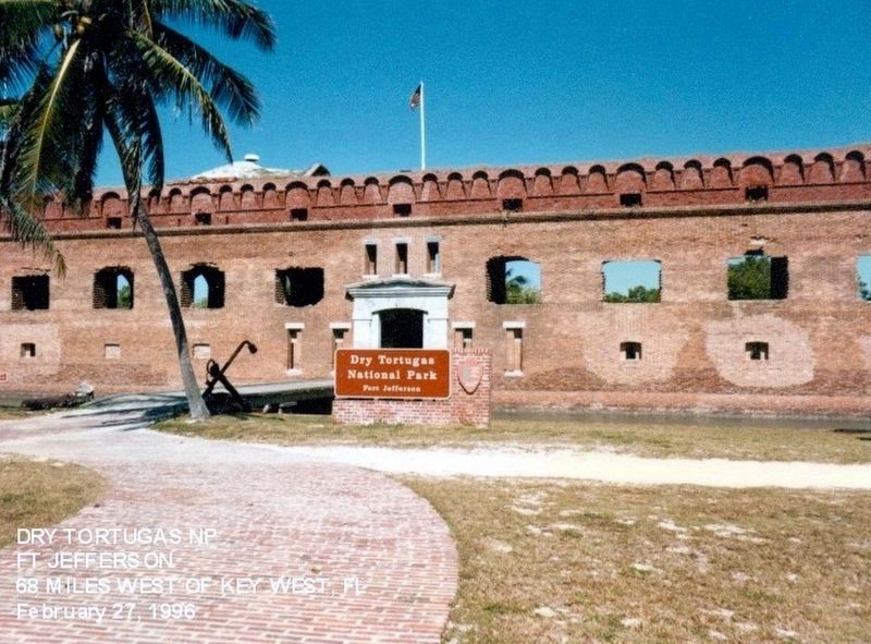
Photographed by Don Morfe, February 27, 1996
6. Sign at the entrance to Dry Tortugas National Park-Fort Jefferson
Credits. This page was last revised on June 12, 2020. It was originally submitted on December 6, 2016, by Don Morfe of Baltimore, Maryland. This page has been viewed 590 times since then and 30 times this year. Photos: 1, 2, 3, 4, 5, 6. submitted on December 6, 2016, by Don Morfe of Baltimore, Maryland. • Bernard Fisher was the editor who published this page.
