Key West in Monroe County, Florida — The American South (South Atlantic)
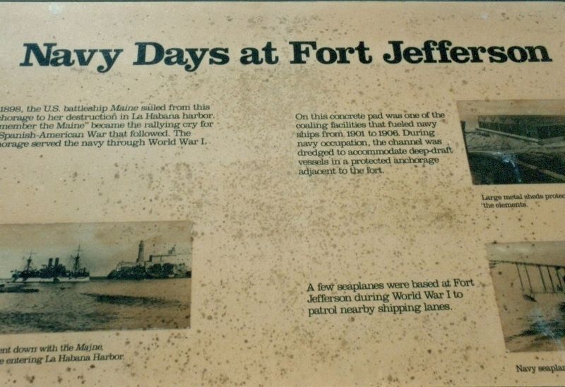
Navy Days at Fort Jefferson
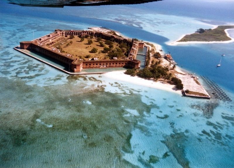
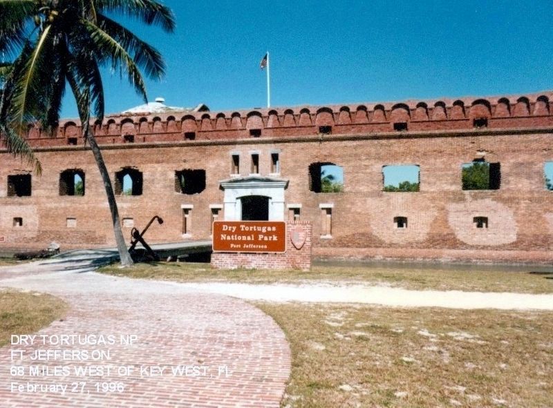
Dry Tortugas National Park
(captions)
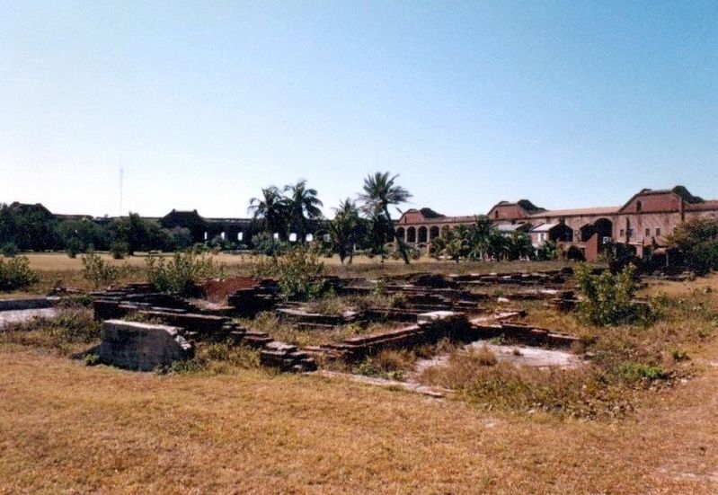
(upper right) On this concrete pad was one of the coaling facilities that fueled navy ships from 1901 to 1906. During navy occupation, the channel was dredged to accommodate deep-draft vessels in a protected anchorage adjacent to the fort.
(lower right) A few seaplanes were based at Fort Jefferson during World War I to patrol nearby shipping lanes.
Erected by National Park Service, U.S. Department of the Interior.
Topics. This historical marker is listed in these topic lists: Forts and Castles • War, World I • Waterways & Vessels. A significant historical year for this entry is 1898.
Location. 24° 37.668′ N, 82° 52.404′ W. Marker is in Key West, Florida, in Monroe County. The marker is located on the grounds of Dry Tortugas National Park-Fort Jefferson. Touch for map. Marker is in this post office area: Key West FL 33040, United States of America. Touch for directions.
Other nearby markers. At least 8 other markers are within walking distance of this marker. Guardian of the Gulf (within shouting distance of this marker); In Memory of Dr. Samuel A. Mudd (within shouting distance of this marker); Gunrooms (within shouting distance of this marker); Building a City on the Sea (within shouting distance of this marker); Water in "Dry" Tortugas (within shouting distance of this marker); Dr. Mudd's Cell (about 300 feet away, measured in a direct line); Touring Fort Jefferson (about 300 feet away); Deadly Crossfire (about 300 feet away). Touch for a list and map of all markers in Key West.
Also see . . . Dry Tortugas National Park. National Park Service (Submitted on December 7, 2016.)
Credits. This page was last revised on June 12, 2020. It was originally submitted on December 6, 2016, by Don Morfe of Baltimore, Maryland. This page has been viewed 331 times since then and 11 times this year. Photos: 1, 2, 3, 4. submitted on December 6, 2016, by Don Morfe of Baltimore, Maryland. • Bernard Fisher was the editor who published this page.


