Keno in Klamath County, Oregon — The American West (Northwest)
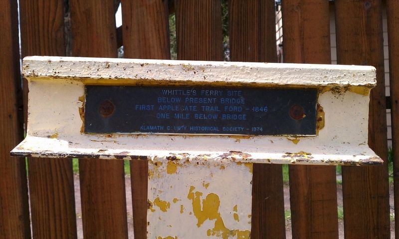
Whittle's Ferry Site
First Applegate Trail ford - 1846
One mile below bridge
Erected 1974 by Klamath County Historical Society-Klamath County Historical Landmark Commission. (Marker Number A-54.)
Topics and series. This historical marker is listed in these topic lists: Exploration • Waterways & Vessels. In addition, it is included in the Applegate Trail series list. A significant historical year for this entry is 1846.
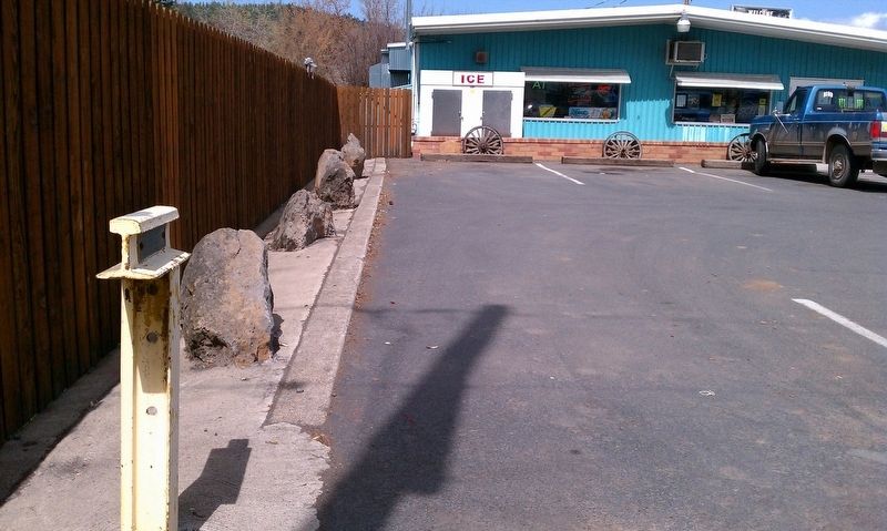
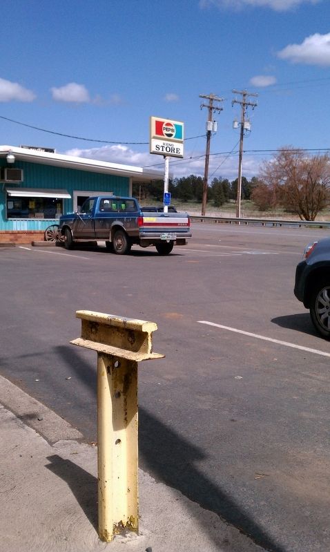
Location. 42° 7.628′ N, 121° 55.783′ W. Marker is in Keno, Oregon, in Klamath County. Marker is at the intersection of Green Springs Highway (Highway 66) and River Street, on the right when traveling south on Green Springs Highway. Touch for map. Marker is in this post office area: Keno OR 97627, United States of America. Touch for directions.
Other nearby markers. At least 8 other markers are within 6 miles of this marker, measured as the crow flies. Bear Valley (approx. 2.8 miles away); Cooper Stage - Station Site (approx. 2.8 miles away); Chase Stage Station (approx. 4.3 miles away); Applegate Trail (approx. 5.1 miles away); Topsy Grade (approx. 5.2 miles away); Klamath River Crossing (approx. 5.2 miles away); a different marker also named The Applegate Trail (approx. 5.2 miles away); Spencer Creek Crossing / Camp Day (approx. 5.3 miles away). Touch for a list and map of all markers in Keno.
Click on the ad for more information.
Please report objectionable advertising to the Editor.
sectionhead>More about this marker. This historical marker is one of many 'T' markers located throughout Klamath County.Please report objectionable advertising to the Editor.
Regarding Whittle's Ferry Site. The following text is taken from the Guide to the Applegate Trail by Trails West, Inc. and describes this particular marker:
From the Landrum Historic Wayside (at the Oregon/California border), the Applegate Trail route headed northwest for about a mile as it crossed the modern-day Hwy 97 and railroad tracks and descended to the old shoreline of Lake Miller, a shallow wet-weather lake. It continued northwest and then north about two miles along the shoreline to a trail junction. Near the northwest corner of the lake, the 1847 trail branched off the original 1846 trail and traveled up Bear Valley. The 1846 trail continued northeasterly around the lake about two miles to the present Keno-Worden Road. From there the 1846 trail route continued northeast and northwest, generally following the road corridor about 10 miles down the valley of the Klamath River to the community of Keno and the Marker A-54 (Whittle's Ferry Site).
Credits. This page was last revised on December 12, 2016. It was originally submitted on December 7, 2016, by Douglass Halvorsen of Klamath Falls, Oregon. This page has been viewed 395 times since then and 40 times this year. Photos: 1, 2, 3. submitted on December 7, 2016, by Douglass Halvorsen of Klamath Falls, Oregon. • Bill Pfingsten was the editor who published this page.


