Chester Center in Middlesex County, Connecticut — The American Northeast (New England)
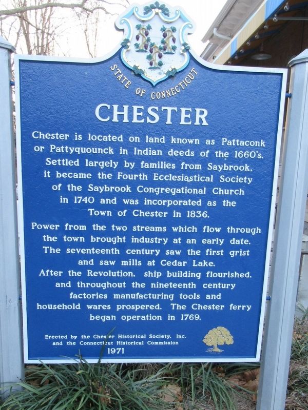
Chester
and the Connecticut Historical Commission
1971
Erected 1971 by the Chester Historical Society, Inc and the Connecticut Historical Commission.
Topics. This historical marker is listed in these topic lists: Colonial Era • Settlements & Settlers.
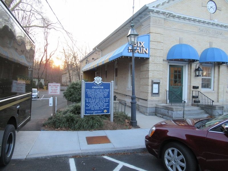
Location. 41° 24.162′ N, 72° 27.052′ W. Marker is in Chester, Connecticut, in Middlesex County. It is in Chester Center. Marker is at the intersection of Main Street and Water Street (Connecticut Route 148), on the left when traveling west on Main Street. Touch for map. Marker is at or near this postal address: 6 Main Street, Chester CT 06412, United States of America. Touch for directions.
Other nearby markers. At least 8 other markers are within 2 miles of this marker, measured as the crow flies. Chester Veterans Monument (approx. half a mile away); Chester World War I Monument (approx. half a mile away); Chester World War II – Korea Memorial (approx. half a mile away); The Underground Railroad (approx. 0.9 miles away); Piano Works (approx. 1.1 miles away); Chester-Hadlyme Ferry (approx. 1.4 miles away); We Honor the Elephant (approx. 1˝ miles away); Veterans Memorial Lane (approx. 1˝ miles away). Touch for a list and map of all markers in Chester.
Also see . . .
1. Town of Chester. (Submitted on December 8, 2016, by Michael Herrick of Southbury, Connecticut.)
2. Chester, Connecticut on Wikipedia. (Submitted on December 8, 2016, by Michael Herrick of Southbury, Connecticut.)
Credits. This page was last revised on February 10, 2023. It was originally submitted on December 8, 2016, by Michael Herrick of Southbury, Connecticut. This page has been viewed 405 times since then and 19 times this year. Photos: 1, 2. submitted on December 8, 2016, by Michael Herrick of Southbury, Connecticut.

