Groom in Carson County, Texas — The American South (West South Central)
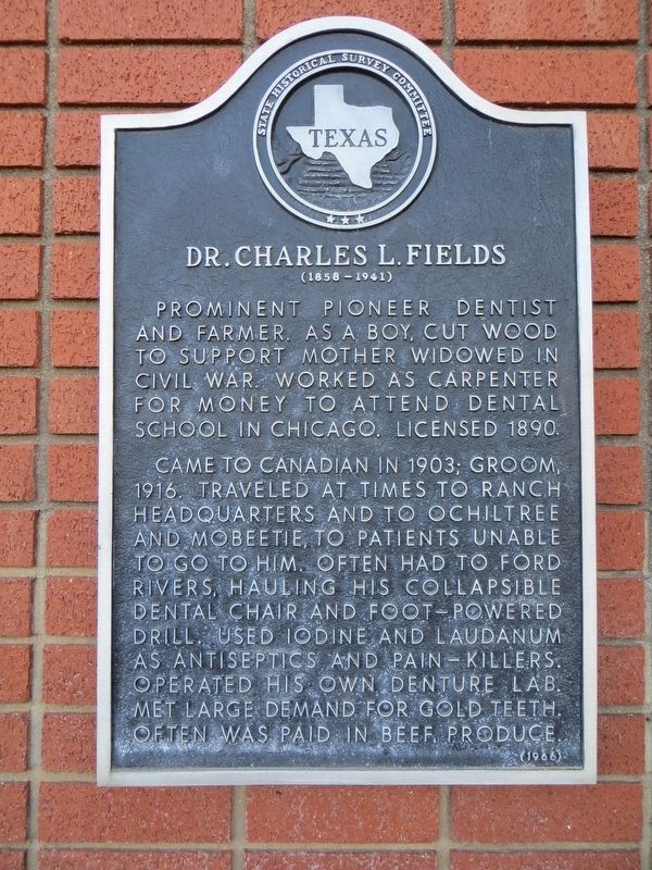
Dr. Charles L. Fields
(1858-1941)
Photographed by Bill Kirchner, November 16, 2016
1. Dr. Charles L. Fields Marker
Came to Canadian in 1903; Groom, 1916. Traveled at times to ranch headquarters and to Ochiltree and Mobeetie, to patients unable to go to him. Often had to ford rivers, hauling his collapsible dental chair and foot-powered drill. Used iodine and laudanum as antiseptics and pain-killers. Operated his own denture lab. Met large demand for gold teeth. Often was paid in beef, produce.
Erected 1966 by State Historical Survey Committee. (Marker Number 1264.)
Topics. This historical marker is listed in this topic list: Science & Medicine. A significant historical year for this entry is 1890.
Location. 35° 12.114′ N, 101° 6.451′ W. Marker is in Groom, Texas, in Carson County. It is on Broadway north of 1st Street, on the right when traveling north. Touch for map. Marker is in this post office area: Groom TX 79039, United States of America. Touch for directions.

Regionally, this marker is on the Texas Panhandle. It is also on the American Great
this page online
Other nearby markers. At least 8 other markers are within 13 miles of this marker, measured as the crow flies: State National Bank (within shouting distance of this marker); City of Groom (about 300 feet away, measured in a direct line); Jericho Cemetery (approx. 11.8 miles away); Goodnight College (approx. 12.2 miles away); Town of Goodnight (approx. 12.3 miles away); Charles Goodnight (approx. 12.4 miles away); Quanah Parker Trail (approx. 12.6 miles away); Site of Old Goodnight Ranch (approx. 12.6 miles away). Touch for a list and map of all markers in Groom.
Another marker is no longer nearby. Boydstun Cemetery (was approx. 11.8 miles away but has been confirmed missing).
Photographed by Bill Kirchner, November 16, 2016
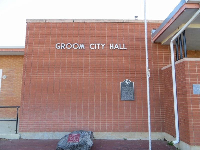
2. Dr. Charles L. Fields Marker
Photographed by Bill Kirchner, November 16, 2016
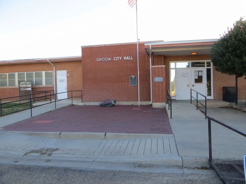
3. Dr. Charles L. Fields Marker
Credits. This page was last revised on December 10, 2016. It was originally submitted on December 10, 2016, by Bill Kirchner of Tucson, Arizona. This page has been viewed 491 times since then and 17 times this year. Photos: 1, 2, 3. submitted on December 10, 2016, by Bill Kirchner of Tucson, Arizona.
