Destrehan in St. Charles Parish, Louisiana — The American South (West South Central)
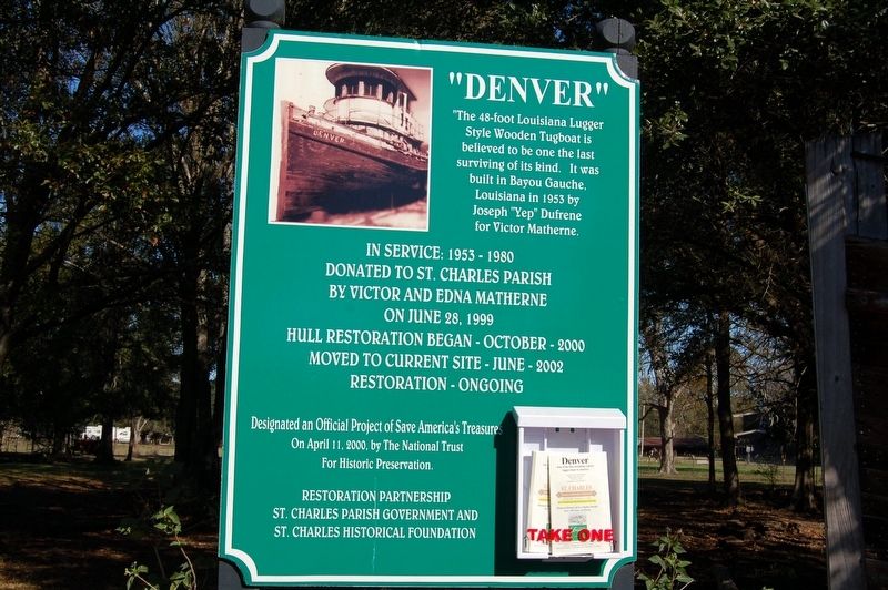
"Denver"
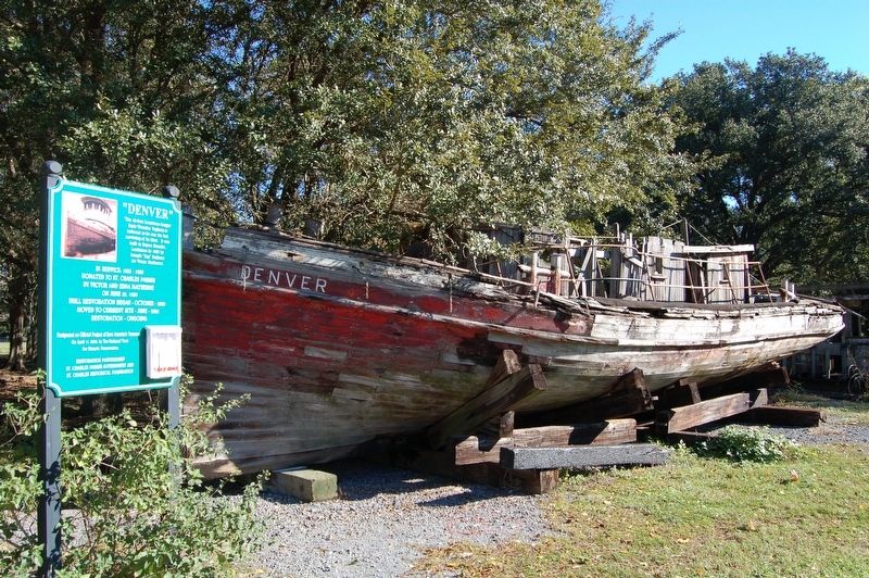
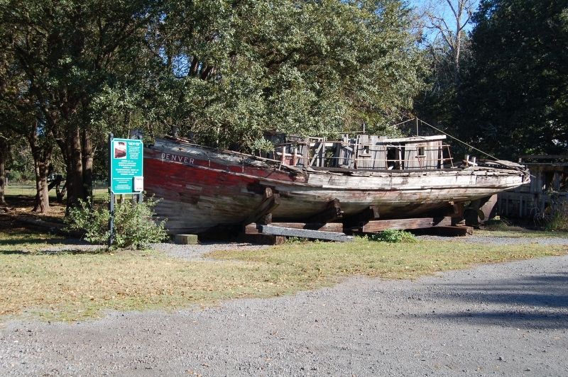
The 48-foot Louisiana Lugger Style Wooden Tugboat is believed to be one of the last surviving of its kind. It was built in Bayou Gauche, Louisiana in 1953 by Joseph "Yep" Dufrene for Victor Matherne.
Donated to St. Charles Parish
By Victor Matherne
On June 28, 1999
Hull Restoration began- October-2000
Moved to current site - June-2002
Restoration - Ongoing
Designated an official Project of Save America's Treasures
On April 11, 2000, by The National Trust
for Historic Preservation
Restoration partnership
St. Charles Parish Government and
St. Charles Historical Foundation
Topics. This historical marker is listed in this topic list: Waterways & Vessels.
Location. 29° 57.257′ N, 90° 23.146′ W. Marker is in Destrehan, Louisiana, in St. Charles Parish. Marker is on River Road (State Highway 48) north of Avenue of the Oaks, on the right when traveling south. Located on the Ormond Plantation grounds, in large parking area. Touch for map. Marker is at or near this postal address: 13786 River Road, Destrehan LA 70047, United States of America. Touch for directions.
Other nearby markers. At least 8 other markers are within 2 miles of this marker, measured as the crow flies. Settlement Of The German Coast (within shouting distance of this marker); St. Charles Borromeo "Little Red Church" (approx. 0.7 miles away); Saint Charles Borromeo Church (approx. 0.7 miles away); Hale Boggs Bridge (approx. one mile away); George Prince Ferry Memorial (approx. one mile away); Fashion Plantation (approx. one mile away); L'Anse Aux Outardes (approx. 1.2 miles away); a different marker also named Hale Boggs Bridge (approx. 1.3 miles away). Touch for a list and map of all markers in Destrehan.
Credits. This page was last revised on June 26, 2022. It was originally submitted on December 11, 2016, by Cajun Scrambler of Assumption, Louisiana. This page has been viewed 506 times since then and 18 times this year. Photos: 1, 2, 3. submitted on December 11, 2016.


