Utrecht, Netherlands — Northwestern Europe
Maartensbrug en Oude Gracht / "St. Martin's Bridge" on the Old Canal
Inscription.
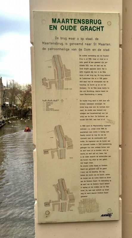
De oudste vermelding van de (houten) brug is uit 1196, maar er moet er in ieder geval al een geweest zijn omstreeks 1125, toen dit deel van de Oude Gracht gegraven werd. Het is zelfs mogelijk dat hier in de 10de eeuw al een brug lag. De brug verbond de Zadelstraat (die al in 1196 geplaveid was) met de woonplaats van de bisschop de burcht op en om het Domplein. Tot de 16de eeuw heette hij dan ook Borchbrug, daarna kwam de naam Maartensbrug in zwang.
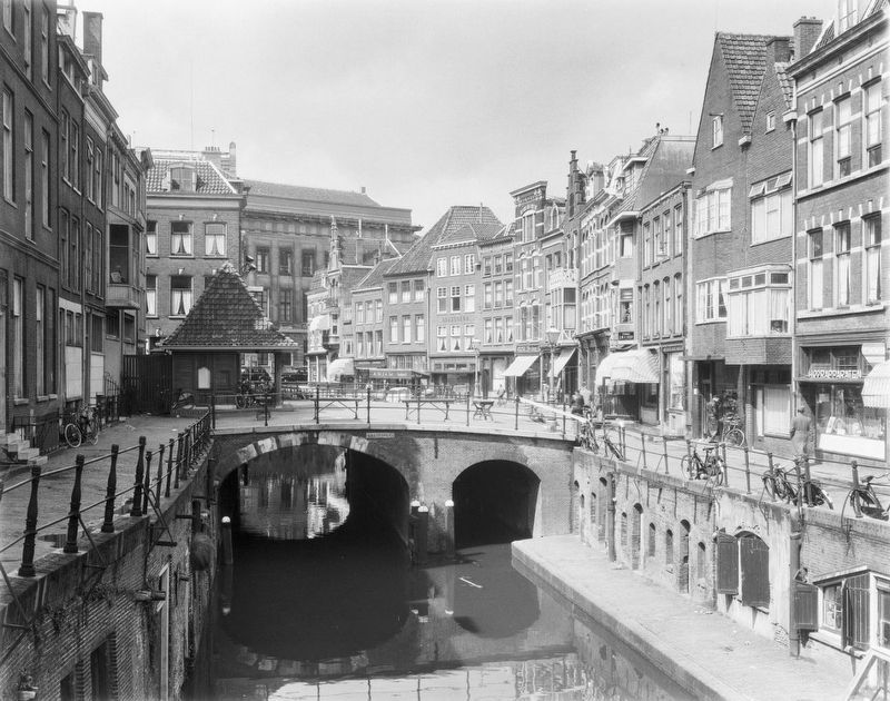
De houten brug werd in 1404 door een bredere, bakstenen vervangen. De brede boog was voor de normale doorvaart, de smalle was bedoeld voor schepen met bouwmateriaal voor het schip van de Dom. De Domtoren, gebouwd 1321-1382, was toen al af.
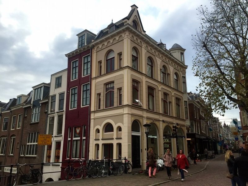
In 1906 werd de Maartensbrug nogmaals verbreed, o. a. omdat sinds 1889 de paardetram veel ruimte in beslag nam Daarbij verviel de trap die van de Lijnmarkt naar de overbouwde werf leidde. De eigenaren van de huizen aan de Lijnmarkt hadden in 1340 toestemming gekregen hun zeer ondiepe huizen over de werf heen uit te breiden, mits ze daarbij de werf zelf vrij lieten. Dat is de reden waarom de achterzijden van die huizen nog altijd op een galerij met bogen staan.
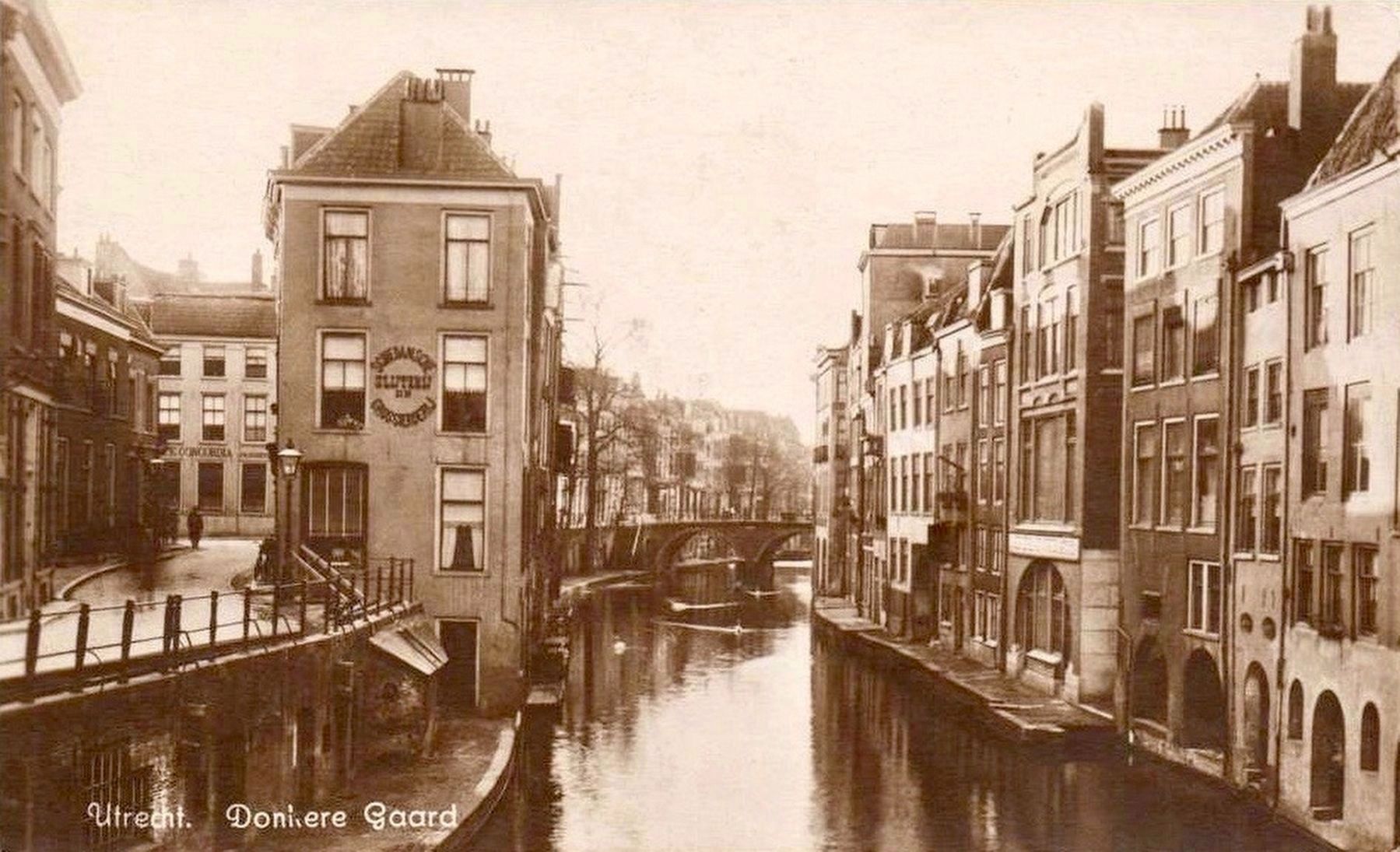
De straten Lichte Gaard en Donkere Gaard zijn genoemd naar de gaard (-tuin) van de bisschop Die lag binnen de muren van de burcht, achter de huizen van de Lichte Gaard en direct aan de Donkere Gaard. De bebouwing op de werf van de Donkere Gaard dateert in aanleg uit het midden van de 13de eeuw. Hij nam veel zonlicht op straat weg en werd daarom Donkere Gaard genoemd.
[English translation:]
The earliest mention of the (wooden) bridge is from 1196, but there must have been one already around 1125, when this part of the Old Canal was excavated. It is even possible that a bridge was here in the 10th Century. The bridge connected the Zadelstraat (which was paved in 1196) to the Bishop's residence and to the Cathedral Square. Until the 16th Century it was called the Borch Bridge, then the name Maartensbrug came into use.
In 1404 the wooden bridge was replaced by a broader bridge made of bricks. The wide arch was the normal passage, and the narrow one was intended for ships with construction material for the nave of
the cathedral. The cathedral tower, built 1321-1382, had already fallen.
In 1906 Maartensbrug was widened again, inter alia, because since 1889 horse trams crowded the span - expanding into the lower area of the Lijnmarkt. In 1340 the owners of the houses on the Lijnmarkt had received permission to expand their houses, with only very shallow yards, provided they the yard itself was left free. That is why the backsides of those houses still form an arched gallery.
The streets "Light-" and "Dark Grove" are named after the groves (gardens) of the bishop who resided in the walled residence, behind the houses of the Light Grove and directly on the Dark Grove. The buildings on the site of the Dark Grove date back to the middle of the 13th Century. They blocked much of the street's sunlight, hence the name Dark Grove.
Erected by The ANWB.
Topics. This historical marker is listed in these topic lists: Bridges & Viaducts • Waterways & Vessels.
Location. 52° 5.42′ N, 5° 7.216′ E. Marker is in Utrecht. Marker is at the intersection of Servestraat and Lichte Gaard on Servestraat. Touch for map. Marker is in this post office area: Utrecht 3511 KX, Netherlands. Touch for directions.
Other nearby markers. At least 8 other markers are within walking distance of this marker. Paleis Lofen (within shouting distance of this marker); a different marker also named Paleis Lofen
(within shouting distance of this marker); In Het Voetspuur Van Sint Maarten / In the Footsteps of Saint Martin (about 120 meters away, measured in a direct line); Eloyen Gasthuis / Eloyen Almshouse (about 120 meters away); Verzetsmonument Utrecht / Utrecht Resistance Monument (about 120 meters away); Utrechtse Sodomieprocessen / Utrecht Sodomy Trials (about 120 meters away); Claustraal Huis van Oudemunster / Canon House of the Former Oudmunster Church (about 120 meters away); Universiteit Utrecht / Utrecht University (about 120 meters away). Touch for a list and map of all markers in Utrecht.
Also see . . . Maartensbrug (Wikipedia, in Dutch). (Submitted on December 15, 2016.)
Photographed By Andrew Ruppenstein, November 23, 2016
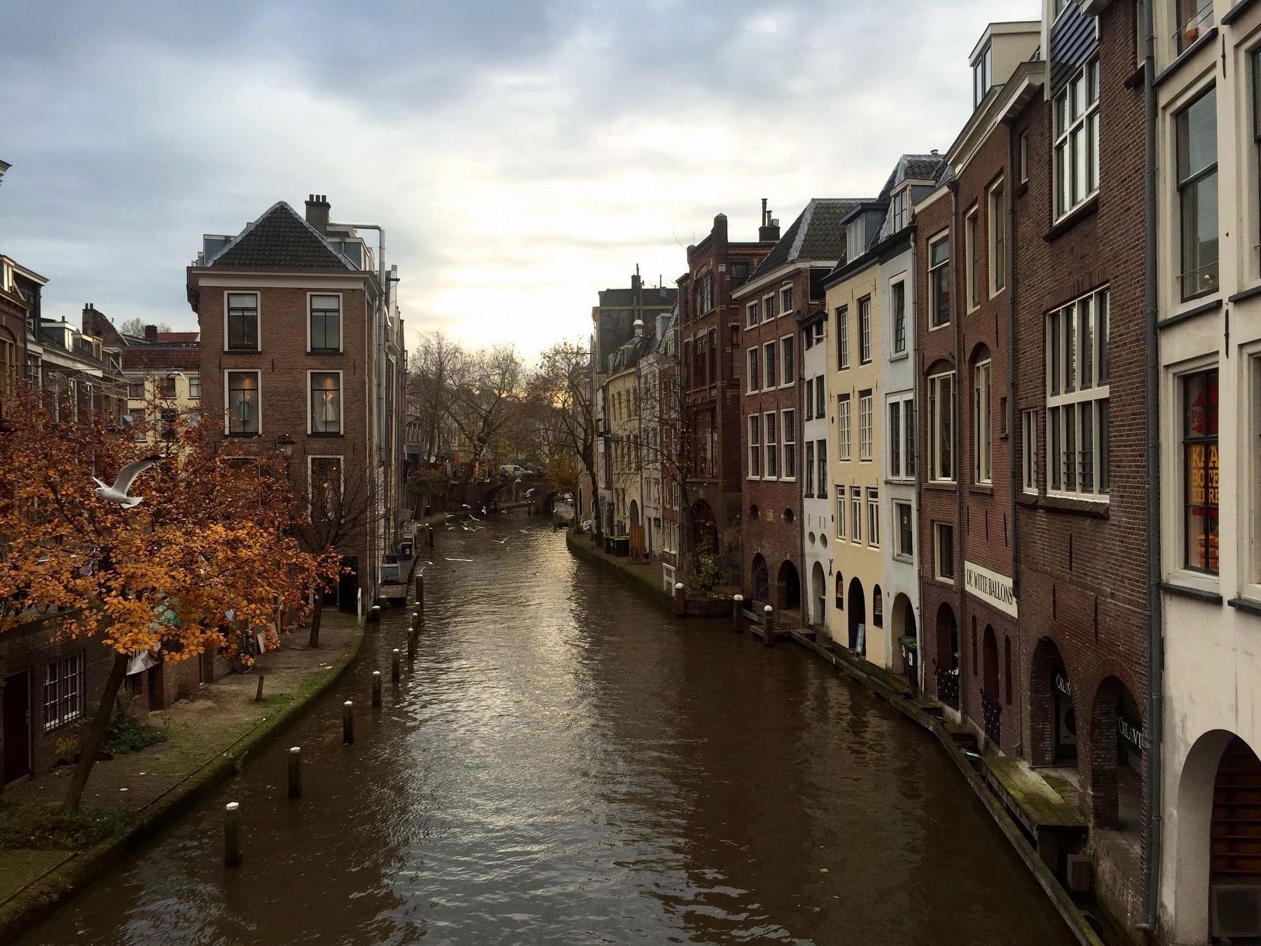
4. Oude Gracht / The Old Canal from the Maartensbrug (Looking South)
Note the arched gallery on the right, as mentioned on the marker. The Lichte- and Donkere Gaard streets would be just on the left of the canal, although the canal-side buildings mostly block the view of them.
Credits. This page was last revised on January 1, 2024. It was originally submitted on December 14, 2016, by Andrew Ruppenstein of Lamorinda, California. This page has been viewed 353 times since then and 33 times this year. Photos: 1, 2, 3, 4, 5. submitted on December 15, 2016, by Andrew Ruppenstein of Lamorinda, California.
