Dandridge in Jefferson County, Tennessee — The American South (East South Central)
Fighting at Dandridge
Midwinter Clash
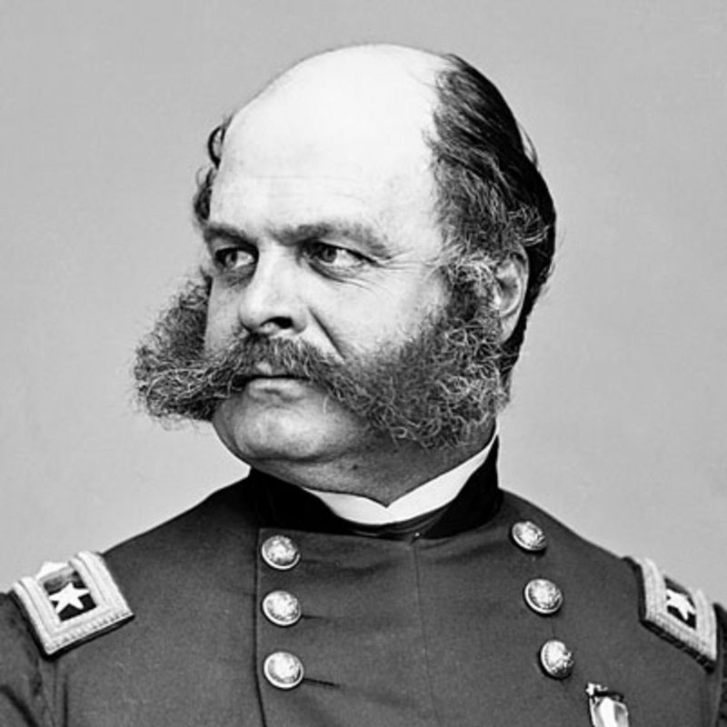
In November 1863, Confederate Gen. James Longstreet led a force from Chattanooga to attack Union Gen. Ambrose E, Burnside's army at Knoxville. The campaign failed, and in December Longstreet's men marched east along the East Tennessee and Virginia Railroad to winter quarters in Russellville, where they remained until March 1864. Numerous small engagements between Longstreet's and Burnside's armies occurred during the winter.
(main text)
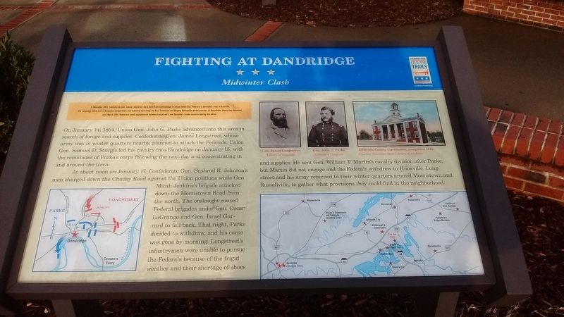
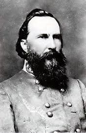
On January 14, 1864, Union Gen. John G. Parke advanced in to this area in search of forage and supplies. Confederate Gen. James Longstreet, whose army was in winter quarters nearby, planned to attack the Federals. Union Gen. Samuel D. Sturgis led his cavalry into Dandridge on January 15, with the remainder of Parke's corps following the next day and concentrating in and around the town.
At about noon on January 17, Confederate Gen. Bushrod R. Johnson's men charged down the Chucky road against the Union positions while Gen. Micah Jenkin's brigade attacked down the Morristown Road from the north. The onslaught caused Federal brigades under Gen. Oscar LaGrange and Gen. Israel Garrard to tall back. That night, Parke decided to withdraw, and his corps was done by morning. Longstreet's infantrymen were unable to pursue the Federals because of the frigid weather and their shortage of shoes and supplies. He sent Gen. William T. Martin's cavalry division after Parke, but Martin did not engage and the Federals withdrew to Knoxville. Longstreet and his army returned to their winter quarters around Morristown and Russellville, to gather what provisions they could find in the neighborhood.
Erected by Tennessee Civil War Trails.
Topics and series. This historical marker is listed in this topic list: War, US Civil. In addition, it is included in the Tennessee Civil War Trails series list. A significant historical date for this entry is January 14, 1864.
Location. 36° 2.064′ N, 83° 19.36′ W. Marker is in Dandridge, Tennessee, in Jefferson County. Marker is on Interstate 40, 1.4 miles east of Tennessee Route 113, on the right when traveling west. Marker is located in front of the Jefferson Co. I-40 West Rest Area. Touch for map. Marker is in this post office area: Dandridge TN 37725, United States of America. Touch for directions.
Other nearby markers. At least 8 other markers are within 6 miles of this marker, measured as the crow flies. Stokely-Van Camp, Inc. (approx. 1.2 miles away); Pine Chapel (approx. 1.2 miles away); Battle of Hay's Ferry (approx. 1˝ miles away); Kimbrough's Crossroads (approx. 4.8 miles away); a different marker also named Fighting at Dandridge (approx. 5.1 miles away); McCuistion (approx. 5.1 miles away); Seabolt / Harris (approx. 5.1 miles away); Bridging the French Broad River at Dandridge (approx. 5.2 miles away). Touch for a list and map of all markers in Dandridge.
Also see . . . Battle of Dandridge. Wikipedia (Submitted on December 13, 2016.)
Credits. This page was last revised on December 16, 2016. It was originally submitted on December 12, 2016, by Tom Bosse of Jefferson City, Tennessee. This page has been viewed 745 times since then and 31 times this year. Last updated on December 16, 2016, by Byron Hooks of Sandy Springs, Georgia. Photos: 1, 2, 3, 4. submitted on December 12, 2016, by Tom Bosse of Jefferson City, Tennessee. • Bernard Fisher was the editor who published this page.


