Oakland in Alameda County, California — The American West (Pacific Coastal)
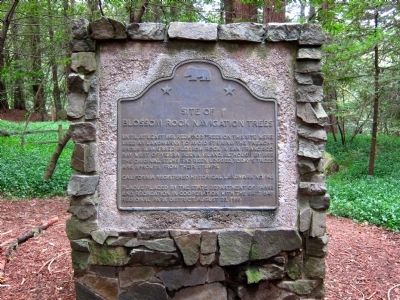
Site of Blossom Rock Navigation Trees
Plaque placed by the State Department of Parks and Recreation in cooperation with the East Bay Regional Park District, August 23, 1986.
Erected 1986 by California State Department of Parks and Recreation and the East Bay Regional Parks District. (Marker Number 962.)
Topics and series. This historical marker is listed in these topic lists: Environment • Horticulture & Forestry • Waterways & Vessels. In addition, it is included in the California Historical Landmarks, and the Historic Trees series lists. A significant historical year for this entry is 1851.
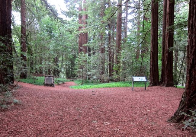
Location. 37° 48.648′ N, 122° 10.471′ W. Marker is in Oakland, California, in Alameda County. Marker can be reached from Skyline Boulevard, half a mile north of Joaquin Miller Road. Touch for map. Marker is at or near this postal address: 10570 Skyline Boulevard, Oakland CA 94611, United States of America. Touch for directions.
Other nearby markers. At least 8 other markers are within one mile of this marker, measured as the crow flies. 442nd Regimental Combat Team Memorial (a few steps from this marker); John C. Fremont Monument (approx. ¾ mile away); Pyramid to Moses (approx. 0.9 miles away); Commemoration of Old Redwood Road from Redwood Canyon (approx. one mile away); The Monument Loop: A Legacy (approx. one mile away); The Creation of a Park (approx. one mile away); Joaquin Miller (approx. one mile away); Joaquin Miller’s Abbey (approx. one mile away). Touch for a list and map of all markers in Oakland.
Credits. This page was last revised on August 31, 2020. It was originally submitted on April 16, 2013, by Andrew Ruppenstein of Lamorinda, California. This page has been viewed 981 times since then and 23 times this year. Last updated on December 20, 2016, by Michael Kindig of Elk Grove, California. Photos: 1, 2. submitted on April 16, 2013, by Andrew Ruppenstein of Lamorinda, California.

