A Canal Home
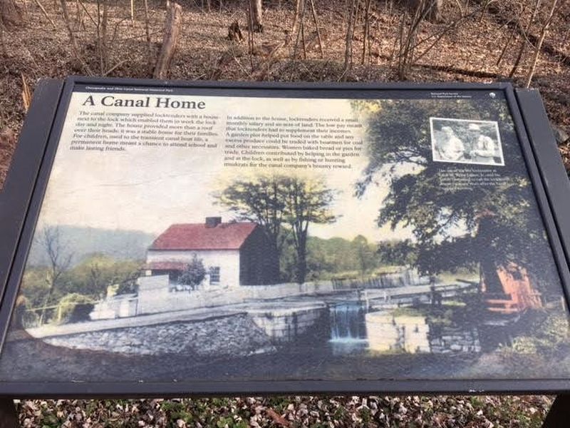
The canal company supplied locktenders with a house next to the lock which enabled them to work the lock day and night. The house provided more than a roof over their heads; it was a stable home for their families. For children, used to the transient canal boat life, a permanent home meant a chance to attend school and make lasting friends.
In addition to the house, locktenders received a small monthly salary and an acre of land. The low pay meant locktenders had to supplement their incomes. A garden plot helped put food on the table and any excess produce could be traded with boatmen for coal and other necessities. Women baked bread or pies for trade. Children contributed by helping in the garden and at the lock, as well as by fishing or hunting muskrats for the canal company's bounty reward.
Erected by National Park Service, U.S. Department of the Interior.
Topics. This historical marker is listed in these topic lists: Industry & Commerce • Waterways & Vessels.
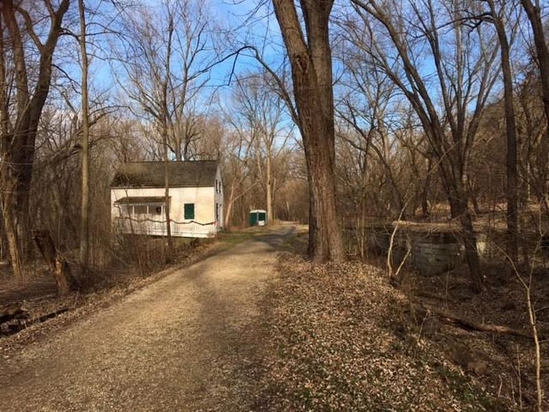
Location. 39° 16.881′ N, 77° 32.865′ W. Marker is near Point of Rocks, Maryland, in Frederick County. Marker can be reached from Chesapeake and Ohio Canal Towpath. The marker is located about 20 yards east of Lockhouse 28 on
Other nearby markers. At least 8 other markers are within walking distance of this marker. Lockhouse 28 (within shouting distance of this marker); Battle at Point of Rocks (approx. 0.6 miles away); Point of Rocks (approx. 0.6 miles away); a different marker also named Point of Rocks (approx. 0.6 miles away); a different marker also named Point of Rocks (approx. 0.7 miles away); a different marker also named Point of Rocks (approx. 0.7 miles away); a different marker also named Point of Rocks (approx. 0.7 miles away); a different marker also named Point of Rocks (approx. 0.7 miles away). Touch for a list and map of all markers in Point of Rocks.
Credits. This page was last revised on September 28, 2020. It was originally submitted on January 8, 2017, by Brandon Stahl of Fairfax, Virginia. This page has been viewed 311 times since then and 11 times this year. Photos: 1, 2, 3. submitted on January 8, 2017, by Brandon Stahl of Fairfax, Virginia. • Bill Pfingsten was the editor who published this page.


