Annandale in Fairfax County, Virginia — The American South (Mid-Atlantic)
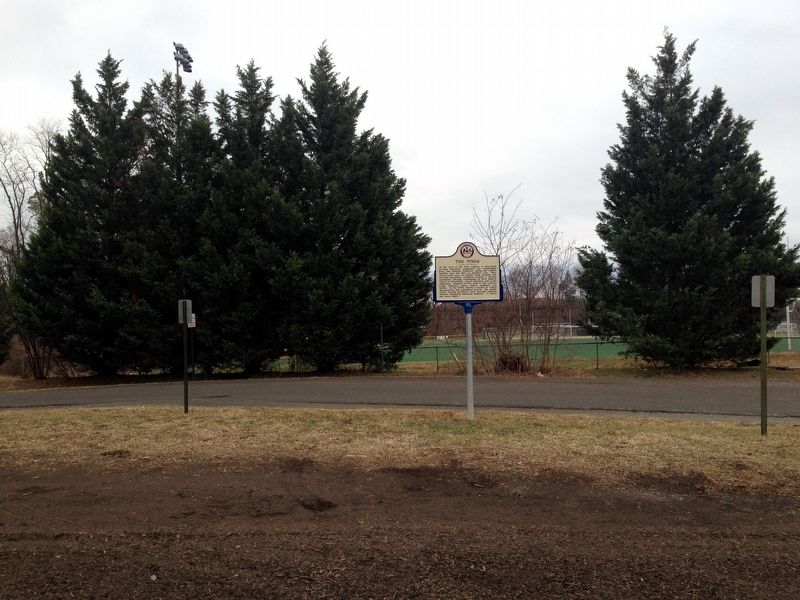
The Pines
Erected 2016 by The Fairfax County History Commission.
Topics and series. This historical marker is listed in these topic lists: African Americans • Cemeteries & Burial Sites • Churches & Religion. In addition, it is included in the Virginia, Fairfax County History Commission series list.
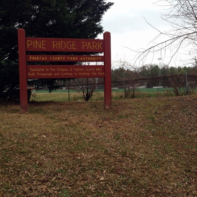
Location. 38° 51.233′ N, 77° 13.744′ W. Marker is in Annandale, Virginia, in Fairfax County. Marker can be reached from Woodburn Road, 0.3 miles west of Gallows Road (Virginia Route 650), on the left when traveling west. Marker is located along the entrance road of Pine Ridge Park. Touch for map. Marker is at or near this postal address: 3401 Woodburn Road, Annandale VA 22003, United States of America. Touch for directions.
Other nearby markers. At least 8 other markers are within 3 miles of this marker, measured as the crow flies. Luther P. Jackson High School (approx. one mile away); The Guinea Road Cemetery Reinterment (approx. 1.2 miles away); Gooding's Tavern (approx. 1.3 miles away); Ilda (approx. 1.6 miles away); Camp Russell A. Alger (approx. 1.6 miles away); Mosby Attacks Annandale (approx. 1.7 miles away); A Memorial to the Four Chaplains (approx. 2.1 miles away); We will never forget. (approx. 2.2 miles away). Touch for a list and map of all markers in Annandale.
More about this marker. Although the marker is dated 2015, it was installed in 2016 and dedication ceremony was held on October 15, 2016.
Also see . . . New historic marker commemorates a vanished black community. (Submitted on January 12, 2017.)
Credits. This page was last revised on January 13, 2017. It was originally submitted on January 12, 2017. This page has been viewed 1,349 times since then and 111 times this year. Photos: 1, 2, 3. submitted on January 12, 2017. • Bernard Fisher was the editor who published this page.


