Spanish Fort in Baldwin County, Alabama — The American South (East South Central)
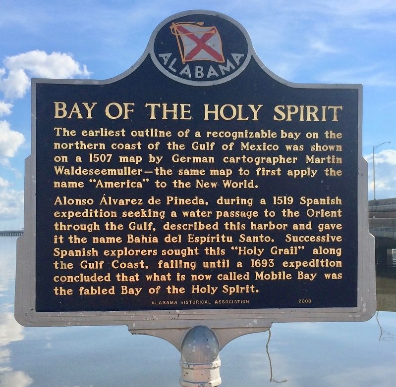
Bay of the Holy Spirit
Photographed by Mark Hilton, January 14, 2017
1. Bay of the Holy Spirit Marker
Alonso Álvarez de Pineda, during a 1519 Spanish expedition seeking a water passage to the Orient through the Gulf, described this harbor and gave it the name Bahía del Espíritu Santo. Successive Spanish explorers sought this "Holy Grail" along the Gulf Coast, failing until a 1693 expedition concluded that what is now called Mobile Bay was the fabled Bay of the Holy Spirit.
Erected 2008 by the Alabama Historical Association.
Topics and series. This historical marker is listed in these topic lists: Exploration • Waterways & Vessels. In addition, it is included in the Alabama Historical Association series list. A significant historical year for this entry is 1507.
Location. 30° 40.63′ N, 87° 59.059′ W. Marker is in Spanish Fort, Alabama, in Baldwin County. It is on Battleship Parkway (U.S. 98) near Interstate 10, on the right when traveling east. Located at the end of the westbound I-10, Exit
this page online

Regionally, this marker is on the Gulf Coast and in the Mobile Bay area. It is also in the American South, specifically in the Deep South, and on the Gulf Coast. Globally, it is in North America, a Gulf of Mexico state, the Western Hemisphere, the Western World, and the Anglosphere. Historically, it finds itself in what was once New Spain, the Viceroyalty of New France, the territory of the Mississippian Culture, one of the Confederate States of America, and the Antebellum South.
Other nearby markers. At least 8 other markers are within 2 miles of this marker, measured as the crow flies: Alabama Dry Dock & Shipbuilding Company (approx. 1.8 miles away); The Five Crommelin Brothers of Alabama (approx. 1.8 miles away); M42 Duster (approx. 1.8 miles away); United States Ship Alabama (BB-60) (approx. 1.8 miles away); M26 Pershing (approx. 1.8 miles away); M60A1 (approx. 1.8 miles away); Tristan de Luna y Arellano (approx. 1.9 miles away); 6-Pounder Saluting Gun (approx.
Photographed by Mark Hilton, January 14, 2017
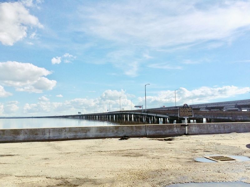
2. Bay of the Holy Spirit Marker with Interstate 10 westbound off ramp in background.
Marker is same on reverse side however you might need a boat to see it.
Also see . . . Wikipedia article on Martin Waldseemüller. (Submitted on January 14, 2017, by Mark Hilton of Montgomery, Alabama.)
Photographed by Mark Hilton, January 14, 2017
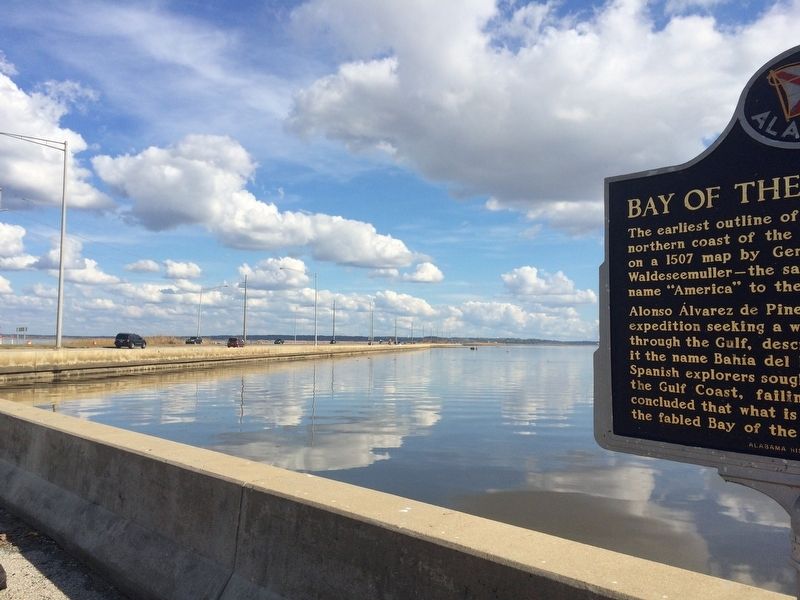
3. The view east on U.S. Highway 98 (Battleship Parkway).
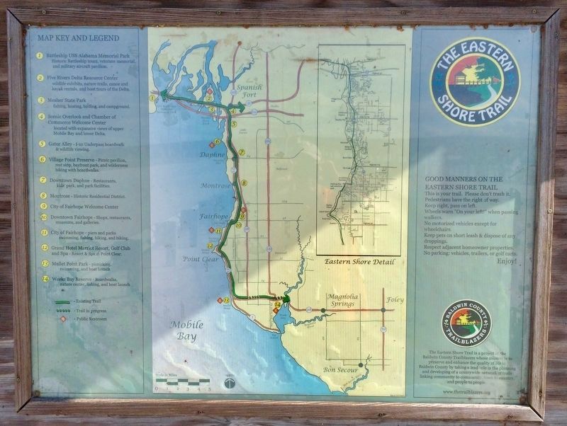
Part of the Eastern Shore Trail (See trail map in separate photo).
Public Domain US-PD
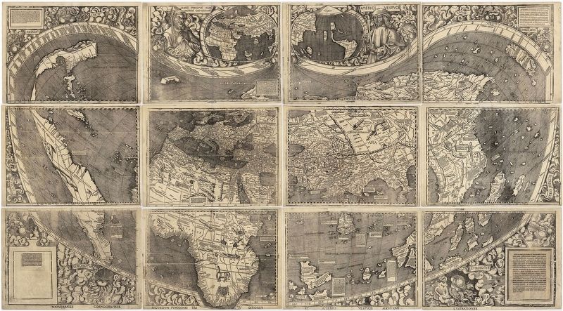
4. Universalis Cosmographia, Waldseemüller's 1507 world map.
Waldseemüller map from 1507 is the first map to include the name "America" and the first to depict the Americas as separate from Asia. There is only one surviving copy of the map, which was purchased by the Library of Congress in 2001 for $10 million.
Photographed by Mark Hilton, January 14, 2017
5. Eastern Shore Trail Map by the Baldwin County Trailblazers.
Credits. This page was last revised on September 30, 2022. It was originally submitted on January 14, 2017, by Mark Hilton of Montgomery, Alabama. This page has been viewed 7,927 times since then and 712 times this year. Photos: 1, 2, 3, 4, 5. submitted on January 14, 2017, by Mark Hilton of Montgomery, Alabama.
