Bradenton in Manatee County, Florida — The American South (South Atlantic)
9th Avenue West Bridge
Photographed by Tim Fillmon, December 24, 2016
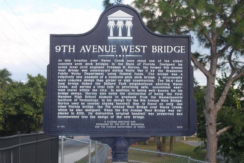
1. 9th Avenue West Bridge Marker
Inscription.
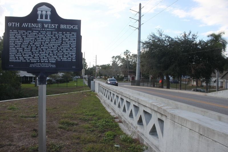
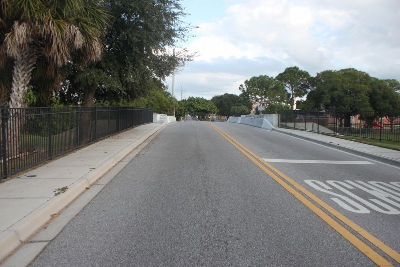
At this location over Wares Creek once stood one of the oldest concrete arch deck bridges in the State of Florida. Designed by noted local civil engineer Freeman H. Horton, the former 9th Avenue West bridge was constructed during World War II by the Bradenton Public Works Department using federal funds. The bridge was a relatively late example of a concrete arch deck bridge, a structurally more complex design than girder or slab construction. The 36.4-foot long bridge linked the Ballard Park neighborhood abutting Wares Creek, and served a vital role in providing safe, convenient east-west travel within the city. In addition to being well-known for his bridge design, Horton also holds the distinction of being the first Manatee High School alumnus to graduate from the Massachusetts Institute of Technology. In his design for the 9th Avenue West Bridge, Horton used an unusual zigzag handrail that is found on only one other Florida bridge, the 7th Avenue West Bridge over Wares Creek, which he also designed. When the 9th Avenue West Bridge was replaced in 2012, its distinctive original handrail was preserved and incorporated
Click or scan to see this page online
into the design of the new bridge.
Erected 2012 by The City of Bradenton and the Florida Department of State. (Marker Number F-751.)
Location. 27° 29.509′ N, 82° 34.882′ W. Marker is in Bradenton, Florida, in Manatee County. It is on 9th Avenue West just east of Virginia Drive, on the right when traveling east. Touch for map. Marker is in this post office area: Bradenton FL 34205, United States of America. Touch for directions.
Regionally, this marker is on Florida’s Gulf Coast and on Tampa Bay. It is also in the American South and on the Gulf Coast. Globally, it is in the North Atlantic Region, North America, a Gulf of Mexico state, the Western Hemisphere, the Western World, and the Anglosphere. Historically, it finds itself in what was once New Spain, the territory of the Mississippian Culture, one of the Confederate States of America, and the Antebellum South.
Other nearby markers. At least 8 other markers are within walking
Credits. This page was last revised on January 17, 2017. It was originally submitted on January 17, 2017, by Tim Fillmon of Webster, Florida. This page has been viewed 839 times since then and 66 times this year. Photos:1, 2, 3. submitted on January 17, 2017, by Tim Fillmon of Webster, Florida. • Bernard Fisher was the editor who published this page.