Near Brunswick in Frederick County, Maryland — The American Northeast (Mid-Atlantic)
Aqueduct Stones
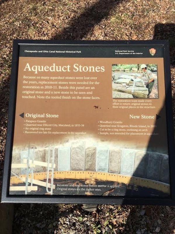
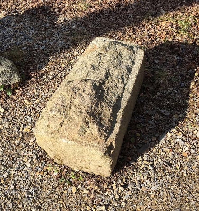
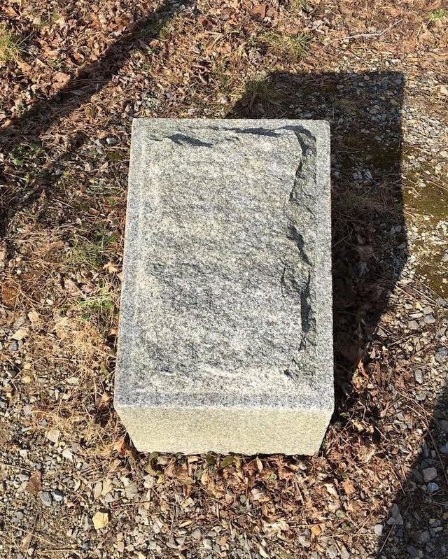
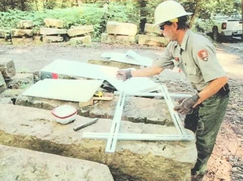
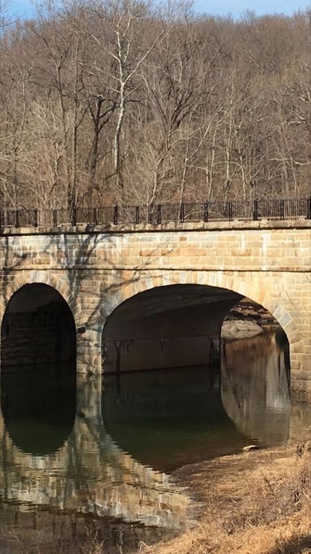
Because so many aqueduct stones were lost over the years, replacement stones were needed for the restoration in 2010-11. Beside this panel are an original stone and a new stone to be seen and touched. Note the tooled finish on the stone faces.
(Caption:)
Keystone and ring stones before mortar is applied. Original stones are the darker ones.
Erected by National Park Service.
Topics and series. This historical marker is listed in these topic lists: Architecture • Bridges & Viaducts • Waterways & Vessels. In addition, it is included in the Chesapeake and Ohio (C&O) Canal series list.
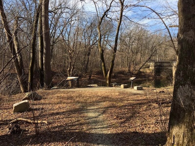
Location. 39° 18.66′ N, 77° 34.095′ W. Marker is near Brunswick, Maryland, in Frederick County. Marker can be reached from C & O Canal Towpath. The marker is off to the left of the C&O Canal Towpath and can be seen when approaching the Catoctin Aqueduct from the east. A small trail leads to the marker. Touch for map. Marker is in this post office area: Brunswick MD 21716, United States of America. Touch for directions.
Other nearby markers. At least 8 other markers are within 3 miles of this marker, measured as the crow flies. The Beautiful Aqueduct (here, next to this marker); Stones Reunited (a few steps from this marker); Catoctin Aqueduct (a few steps from this marker); Fall and Rise of an Aqueduct (a few steps from this marker); A Lockkeeper's Life (approx. 0.6 miles away); Abraham Lakin 2nd (approx. 1.8 miles away); Lockhouse 28 (approx. 2.3 miles away); A Canal Home (approx. 2.3 miles away). Touch for a list and map of all markers in Brunswick.
Credits. This page was last revised on April 4, 2021. It was originally submitted on January 24, 2017, by Brandon Stahl of Fairfax, Virginia. This page has been viewed 434 times since then and 20 times this year. Photos: 1, 2, 3, 4, 5, 6. submitted on January 24, 2017, by Brandon Stahl of Fairfax, Virginia. • Bill Pfingsten was the editor who published this page.
